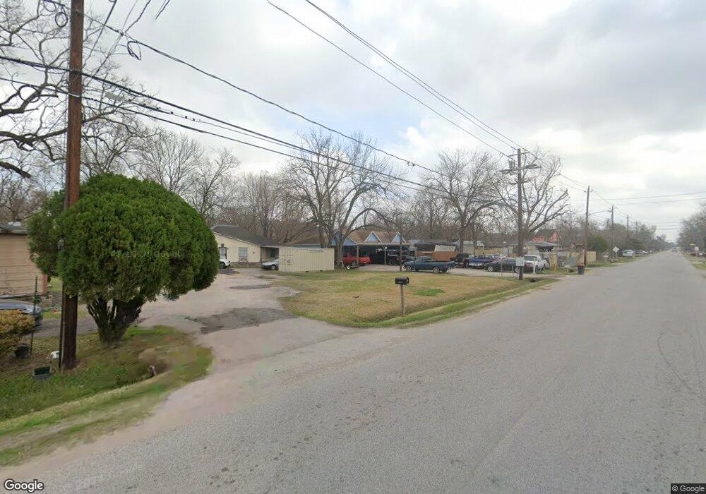
2021 Bertrand St Houston, TX 77093
East Aldine NeighborhoodEstimated Value: $126,509 - $175,000
3
Beds
1
Bath
1,114
Sq Ft
$133/Sq Ft
Est. Value
About This Home
This home is located at 2021 Bertrand St, Houston, TX 77093 and is currently estimated at $148,377, approximately $133 per square foot. 2021 Bertrand St is a home located in Harris County with nearby schools including Vardeman EC/PK/K, Worsham Elementary School, and Macarthur Ninth Grade School.
Ownership History
Date
Name
Owned For
Owner Type
Purchase Details
Closed on
Apr 25, 2015
Sold by
Blaze Wanda J
Bought by
Martin Propertys Dean D
Current Estimated Value
Purchase Details
Closed on
Apr 20, 2015
Sold by
Propertys Dean D Martin
Bought by
Coca Mirian Bonilla and Morales Juan Angel Puente
Purchase Details
Closed on
Mar 25, 2015
Sold by
Coleman Patricia B
Bought by
Blaze Wanda J
Create a Home Valuation Report for This Property
The Home Valuation Report is an in-depth analysis detailing your home's value as well as a comparison with similar homes in the area
Home Values in the Area
Average Home Value in this Area
Purchase History
| Date | Buyer | Sale Price | Title Company |
|---|---|---|---|
| Martin Propertys Dean D | -- | None Available | |
| Coca Mirian Bonilla | -- | None Available | |
| Propertys Dean D Martin | -- | None Available | |
| Blaze Wanda J | -- | None Available |
Source: Public Records
Mortgage History
| Date | Status | Borrower | Loan Amount |
|---|---|---|---|
| Closed | Blaze Wanda J | $0 |
Source: Public Records
Tax History Compared to Growth
Tax History
| Year | Tax Paid | Tax Assessment Tax Assessment Total Assessment is a certain percentage of the fair market value that is determined by local assessors to be the total taxable value of land and additions on the property. | Land | Improvement |
|---|---|---|---|---|
| 2025 | $1,867 | $118,040 | $26,775 | $91,265 |
| 2024 | $1,867 | $96,490 | $26,775 | $69,715 |
| 2023 | $1,867 | $96,490 | $26,775 | $69,715 |
| 2022 | $1,692 | $82,268 | $26,775 | $55,493 |
| 2021 | $981 | $45,509 | $26,775 | $18,734 |
| 2020 | $1,034 | $45,509 | $26,775 | $18,734 |
| 2019 | $1,083 | $45,509 | $26,775 | $18,734 |
| 2018 | $420 | $29,259 | $12,495 | $16,764 |
| 2017 | $663 | $29,259 | $12,495 | $16,764 |
| 2016 | $663 | $29,259 | $12,495 | $16,764 |
| 2015 | $652 | $29,259 | $12,495 | $16,764 |
| 2014 | $652 | $29,259 | $12,495 | $16,764 |
Source: Public Records
Map
Nearby Homes
- 2410 Mierianne St
- 11746 Somerset Ln
- 1925 Sunny Dr
- 2326 Sunny Dr
- 11716 Innsbury Dr
- 2306 Wardmont St
- 1703 & 0 Sunny Dr
- 2131 Warwick Rd
- 2123 Warwick Rd
- 2311 Warwick Rd
- 2723 Castledale Dr
- 2237 Cromwell St
- 1930 Cromwell St
- 1449 Mesquite St
- 1450 Mesquite St
- 1508 Hopper Rd Unit 1
- 2152 William Tell St
- 2122 Kowis St
- 2915 Brea Crest St
- 2922 Bertrand St
- 2025 Bertrand St
- 2017 Bertrand St Unit 1
- 2009 Bertrand St
- 2022 Mierianne St
- 2033 Bertrand St
- 2028 Mierianne St
- 2101 Bertrand St
- 2022 Bertrand St
- 2034 Mierianne St
- 2034 Mierianne St
- 2026 Bertrand St
- 2018 Bertrand St
- 2105 Bertrand St
- 2102 Mierianne St
- 2102 Bertrand St
- 2106 Mierianne St
- 2106 Bertrand St
- 2110 Mierianne St
- 2113 Bertrand St
- 2013 Mierianne St