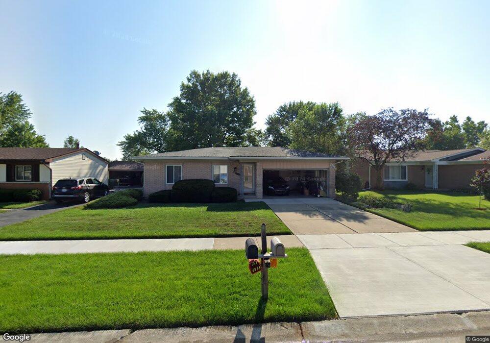
2021 Briarfield St Canton, MI 48188
Estimated Value: $284,424 - $352,000
Studio
2
Baths
1,318
Sq Ft
$245/Sq Ft
Est. Value
About This Home
This home is located at 2021 Briarfield St, Canton, MI 48188 and is currently estimated at $322,856, approximately $244 per square foot. 2021 Briarfield St is a home located in Wayne County with nearby schools including Bentley Elementary School, Canton High School, and Salem High School.
Ownership History
Date
Name
Owned For
Owner Type
Purchase Details
Closed on
Apr 9, 2021
Sold by
Caroll Marc
Bought by
Caroll Marc and Caroll Carmine
Current Estimated Value
Purchase Details
Closed on
Jul 12, 2019
Sold by
Caroll Marc
Bought by
Caroll Carmine
Purchase Details
Closed on
Apr 4, 2014
Sold by
Caroll Mary Ann
Bought by
Caroll Marc A
Purchase Details
Closed on
Apr 1, 2014
Sold by
Yockey Janice
Bought by
Caroll Marc A
Create a Home Valuation Report for This Property
The Home Valuation Report is an in-depth analysis detailing your home's value as well as a comparison with similar homes in the area
Home Values in the Area
Average Home Value in this Area
Purchase History
| Date | Buyer | Sale Price | Title Company |
|---|---|---|---|
| Caroll Marc | -- | None Available | |
| Caroll Carmine | -- | None Available | |
| Caroll Marc A | -- | None Available | |
| Caroll Marc A | -- | None Available |
Source: Public Records
Tax History
| Year | Tax Paid | Tax Assessment Tax Assessment Total Assessment is a certain percentage of the fair market value that is determined by local assessors to be the total taxable value of land and additions on the property. | Land | Improvement |
|---|---|---|---|---|
| 2025 | $1,349 | $137,000 | $0 | $0 |
| 2024 | $1,311 | $134,600 | $0 | $0 |
| 2023 | $1,190 | $124,400 | $0 | $0 |
| 2022 | $2,815 | $114,300 | $0 | $0 |
| 2021 | $2,728 | $108,400 | $0 | $0 |
| 2020 | $2,691 | $107,100 | $0 | $0 |
| 2019 | $2,642 | $92,030 | $0 | $0 |
| 2018 | $1,062 | $88,840 | $0 | $0 |
| 2017 | $2,763 | $86,400 | $0 | $0 |
| 2016 | $2,412 | $84,500 | $0 | $0 |
| 2015 | $5,837 | $79,190 | $0 | $0 |
| 2013 | $5,655 | $62,080 | $0 | $0 |
| 2010 | -- | $62,140 | $29,510 | $32,630 |
Source: Public Records
Map
Nearby Homes
- 1861 N Arbor Way Dr Unit 26
- 2328 Amber Dr
- 43674 Christopher Ct
- 43662 Amber Ct
- 1632 Bennington Ct Unit 1632
- 43486 Fredericksburg St
- 2210 Woodmont Dr W
- 42859 Palmer Rd
- 43552 Karli Ln
- 43935 Marne Ct
- 1530 Fairfax Dr
- 345 Canton Center Rd
- 802 Cherry Stone Dr
- 49963 Kent Ct
- 44125 Michigan Ave
- 49976 Kent Ct
- 49937 Kent Ct
- 0000 Inkster Rd
- 46501 Killarney Cir
- 0 Haggerty Unit 23129906
- 2033 Briarfield St Unit Bldg-Unit
- 2033 Briarfield St
- 2009 Briarfield St
- 2022 S Cavalier Dr
- 2045 Briarfield St Unit Bldg-Unit
- 2045 Briarfield St
- 1995 Briarfield St
- 2034 S Cavalier Dr
- 2010 S Cavalier Dr
- 1996 S Cavalier Dr
- 2020 Briarfield St
- 2057 Briarfield St
- 2008 Briarfield St
- 1983 Briarfield St
- 2032 Briarfield St
- 2044 S Cavalier Dr
- 2044 Briarfield St
- 1994 Briarfield St
- 1984 S Cavalier Dr
- 2069 Briarfield St
Your Personal Tour Guide
Ask me questions while you tour the home.