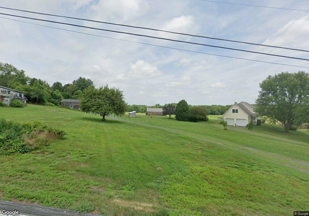
2021 Colson St West Suffield, CT 06093
Estimated Value: $440,000 - $668,000
2
Beds
2
Baths
1,897
Sq Ft
$283/Sq Ft
Est. Value
About This Home
This home is located at 2021 Colson St, West Suffield, CT 06093 and is currently estimated at $535,911, approximately $282 per square foot. 2021 Colson St is a home located in Hartford County with nearby schools including A. Ward Spaulding School, Mcalister Intermediate School, and Suffield Middle School.
Ownership History
Date
Name
Owned For
Owner Type
Purchase Details
Closed on
Mar 22, 2024
Sold by
Kinsley William J and Kinsley Nancy A
Bought by
Kinsley Ft and Kinsley
Current Estimated Value
Purchase Details
Closed on
Oct 16, 2003
Sold by
Poole Rd Dev
Bought by
Kinsley William and Kinsley Nancy
Create a Home Valuation Report for This Property
The Home Valuation Report is an in-depth analysis detailing your home's value as well as a comparison with similar homes in the area
Home Values in the Area
Average Home Value in this Area
Purchase History
| Date | Buyer | Sale Price | Title Company |
|---|---|---|---|
| Kinsley Ft | -- | None Available | |
| Kinsley Ft | -- | None Available | |
| Kinsley William | $100,000 | -- | |
| Kinsley William | $100,000 | -- |
Source: Public Records
Mortgage History
| Date | Status | Borrower | Loan Amount |
|---|---|---|---|
| Previous Owner | Kinsley William | $169,000 | |
| Previous Owner | Kinsley William | $147,000 | |
| Previous Owner | Kinsley William | $50,000 |
Source: Public Records
Tax History Compared to Growth
Tax History
| Year | Tax Paid | Tax Assessment Tax Assessment Total Assessment is a certain percentage of the fair market value that is determined by local assessors to be the total taxable value of land and additions on the property. | Land | Improvement |
|---|---|---|---|---|
| 2025 | $7,881 | $336,630 | $70,280 | $266,350 |
| 2024 | $7,618 | $336,630 | $70,280 | $266,350 |
| 2023 | $6,355 | $222,110 | $70,280 | $151,830 |
| 2022 | $6,355 | $222,110 | $70,280 | $151,830 |
| 2021 | $6,361 | $222,110 | $70,280 | $151,830 |
| 2020 | $6,361 | $222,110 | $70,280 | $151,830 |
| 2019 | $6,379 | $222,110 | $70,280 | $151,830 |
| 2018 | $6,652 | $226,870 | $68,530 | $158,340 |
| 2017 | $6,554 | $226,870 | $68,530 | $158,340 |
| 2016 | $6,398 | $226,870 | $68,530 | $158,340 |
| 2015 | $6,302 | $226,870 | $68,530 | $158,340 |
| 2014 | $6,153 | $226,870 | $68,530 | $158,340 |
Source: Public Records
Map
Nearby Homes
- 7 Rising Corner Rd
- 50 Muriel Ln
- 215 Barry St
- 141 Barry St
- 271 N Grand St
- 150 S Longyard Rd
- 4 Lauren Ln
- 141 Point Grove Rd
- 306 Feeding Hills Rd
- 2 Stratton Farms Rd
- 218 Griffin Rd
- 550 Southwick St
- 3 Evergreen St
- 105 Lakeview St
- 8 N Longyard Rd
- 387 Southwick St
- 212 Feeding Hills Rd
- 80 Bungalow St
- 371 Lakeview Dr
- 2 Lakemont St
- 2026 Colson St
- 1242 N Stone St
- 1268 N Stone St
- 1201 N Stone St
- 1955 Colson St
- 1945 Colson St
- 1280 N Stone St
- 1305 N Stone St
- 1320 N Stone St
- 1323 N Stone St
- 1050 N Stone St
- 1344 N Stone St
- 1341 N Stone St
- 1353 N Stone St
- 1147 N Stone St
- 1111 N Stone St
- 1085 N Stone St
- 1379 N Stone St
- 1255 N Stone St
- 1020 N Stone St