2021 Cumberland St Unit 119 Newark, OH 43055
Estimated Value: $244,000 - $270,000
3
Beds
2
Baths
1,213
Sq Ft
$210/Sq Ft
Est. Value
About This Home
This home is located at 2021 Cumberland St Unit 119, Newark, OH 43055 and is currently estimated at $254,350, approximately $209 per square foot. 2021 Cumberland St Unit 119 is a home located in Licking County with nearby schools including Utica High School, St. Francis DeSales School, and Newark Catholic High School.
Ownership History
Date
Name
Owned For
Owner Type
Purchase Details
Closed on
Mar 9, 2021
Sold by
Crampton Rodney
Bought by
Maynard Gunnar L
Current Estimated Value
Home Financials for this Owner
Home Financials are based on the most recent Mortgage that was taken out on this home.
Original Mortgage
$180,000
Outstanding Balance
$161,439
Interest Rate
2.73%
Mortgage Type
VA
Estimated Equity
$92,911
Purchase Details
Closed on
Mar 14, 2005
Sold by
Dominion Homes Inc
Bought by
Crampton Rodney
Home Financials for this Owner
Home Financials are based on the most recent Mortgage that was taken out on this home.
Original Mortgage
$105,200
Interest Rate
3.87%
Mortgage Type
New Conventional
Create a Home Valuation Report for This Property
The Home Valuation Report is an in-depth analysis detailing your home's value as well as a comparison with similar homes in the area
Home Values in the Area
Average Home Value in this Area
Purchase History
| Date | Buyer | Sale Price | Title Company |
|---|---|---|---|
| Maynard Gunnar L | $180,000 | First Ohio Title Ins Box | |
| Crampton Rodney | $131,500 | Alliance Title |
Source: Public Records
Mortgage History
| Date | Status | Borrower | Loan Amount |
|---|---|---|---|
| Open | Maynard Gunnar L | $180,000 | |
| Previous Owner | Crampton Rodney | $105,200 | |
| Closed | Crampton Rodney | $26,300 |
Source: Public Records
Tax History Compared to Growth
Tax History
| Year | Tax Paid | Tax Assessment Tax Assessment Total Assessment is a certain percentage of the fair market value that is determined by local assessors to be the total taxable value of land and additions on the property. | Land | Improvement |
|---|---|---|---|---|
| 2024 | $1,788 | $59,680 | $11,900 | $47,780 |
| 2023 | $1,789 | $59,680 | $11,900 | $47,780 |
| 2022 | $1,317 | $40,360 | $10,500 | $29,860 |
| 2021 | $1,349 | $40,360 | $10,500 | $29,860 |
| 2020 | $1,349 | $40,360 | $10,500 | $29,860 |
| 2019 | $1,105 | $31,540 | $4,550 | $26,990 |
| 2018 | $1,112 | $0 | $0 | $0 |
| 2017 | $1,138 | $0 | $0 | $0 |
| 2016 | $1,108 | $0 | $0 | $0 |
| 2015 | $1,096 | $0 | $0 | $0 |
| 2014 | $1,523 | $0 | $0 | $0 |
| 2013 | $1,125 | $0 | $0 | $0 |
Source: Public Records
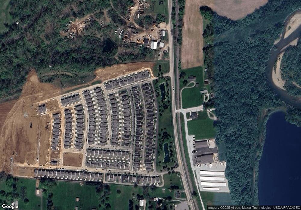
Map
Nearby Homes
- 1994 Dumont St Unit 91
- 2034 Dumont St Unit 81
- 73 Glenridge Dr
- 2026 Freehold St
- 1968 High Bridge St
- 1960 Jamesburg St
- 1981 Iselin St
- 1989 Iselin St
- 1993 Iselin St
- 1977 Iselin St
- 1973 Iselin St
- Mt Vernon Rd Unit LotWP001
- 1954 Iselin St
- 1821 Mount Vernon Rd
- 32 N Utah Ave
- 342 W Hunters Dr
- 412 Hunters Ct
- 152 Lincoln Dr
- 437 Hunters Ct
- 395 Quail Run Ct
- 2025 Cumberland St Unit 120
- 2017 Cumberland St Unit 118
- 2029 Cumberland St Unit 121
- 2013 Cumberland St
- 2033 Cumberland St Unit 122
- 2033 Cumberland St Unit 123
- 2009 Cumberland St Unit 116
- 2022 Dumont St Unit 84
- 2018 Dumont St Unit 85
- 2014 Dumont St Unit 86
- 2014 Dumont St
- 2026 Dumont St Unit 83
- 2037 Cumberland St Unit 123
- 2030 Dumont St Unit 82
- 2005 Cumberland St Unit 115
- 2006 Dumont St Unit 88
- 2041 Cumberland St Unit 124
- 2001 Cumberland St
- 2038 Dumont St Unit 80
- 2002 Dumont St Unit 89