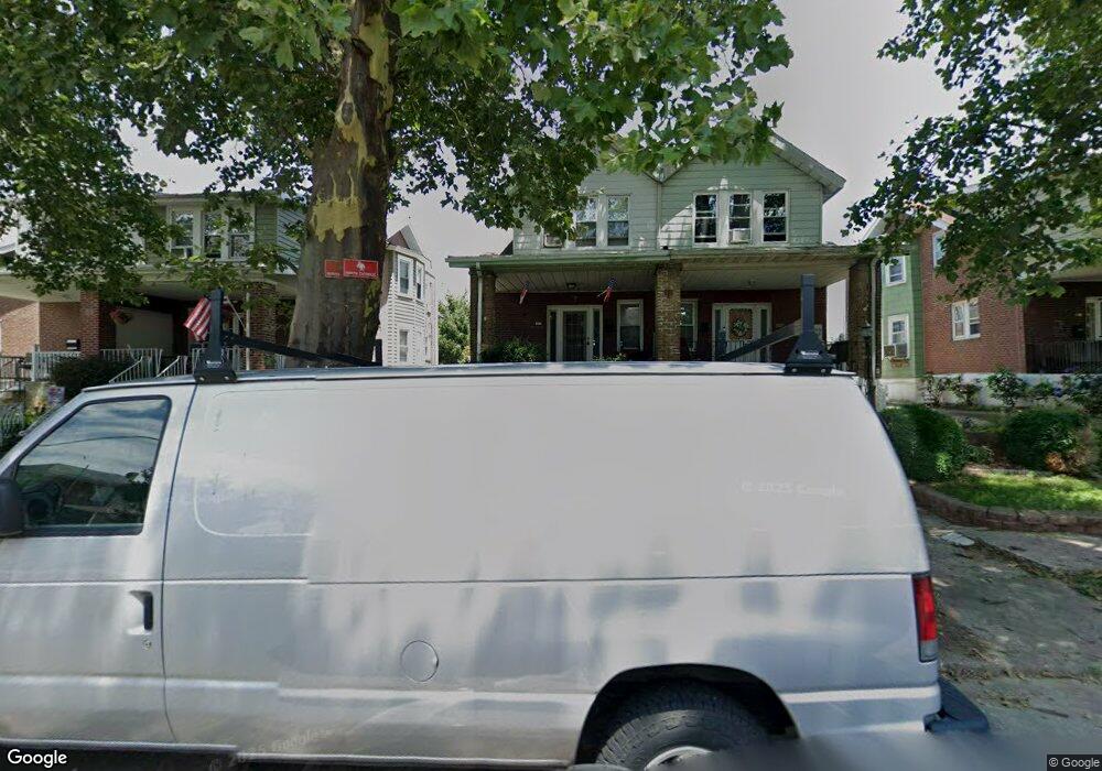
2021 Griffith St Philadelphia, PA 19152
Rhawnhurst NeighborhoodEstimated Value: $319,252 - $357,000
4
Beds
1
Bath
1,598
Sq Ft
$212/Sq Ft
Est. Value
About This Home
This home is located at 2021 Griffith St, Philadelphia, PA 19152 and is currently estimated at $338,813, approximately $212 per square foot. 2021 Griffith St is a home located in Philadelphia County with nearby schools including Rhawnhurst School, Castor Gardens Middle School, and Northeast High School.
Ownership History
Date
Name
Owned For
Owner Type
Purchase Details
Closed on
Mar 22, 2003
Sold by
Asinos Moises C and Mullen Regina Rose
Bought by
Asinos Moises C
Current Estimated Value
Home Financials for this Owner
Home Financials are based on the most recent Mortgage that was taken out on this home.
Original Mortgage
$66,300
Interest Rate
5.64%
Mortgage Type
Purchase Money Mortgage
Create a Home Valuation Report for This Property
The Home Valuation Report is an in-depth analysis detailing your home's value as well as a comparison with similar homes in the area
Home Values in the Area
Average Home Value in this Area
Purchase History
| Date | Buyer | Sale Price | Title Company |
|---|---|---|---|
| Asinos Moises C | $33,533 | First American Title Ins Co |
Source: Public Records
Mortgage History
| Date | Status | Borrower | Loan Amount |
|---|---|---|---|
| Closed | Asinos Moises C | $66,300 |
Source: Public Records
Tax History Compared to Growth
Tax History
| Year | Tax Paid | Tax Assessment Tax Assessment Total Assessment is a certain percentage of the fair market value that is determined by local assessors to be the total taxable value of land and additions on the property. | Land | Improvement |
|---|---|---|---|---|
| 2025 | $3,404 | $301,700 | $60,340 | $241,360 |
| 2024 | $3,404 | $301,700 | $60,340 | $241,360 |
| 2023 | $3,404 | $243,200 | $48,640 | $194,560 |
| 2022 | $2,774 | $198,200 | $48,640 | $149,560 |
| 2021 | $2,930 | $0 | $0 | $0 |
| 2020 | $2,930 | $0 | $0 | $0 |
| 2019 | $2,667 | $0 | $0 | $0 |
| 2018 | $2,381 | $0 | $0 | $0 |
| 2017 | $2,381 | $0 | $0 | $0 |
| 2016 | $1,961 | $0 | $0 | $0 |
| 2015 | $2,279 | $0 | $0 | $0 |
| 2014 | -- | $170,100 | $39,877 | $130,223 |
| 2012 | -- | $22,592 | $3,142 | $19,450 |
Source: Public Records
Map
Nearby Homes
- 2029 Loney St
- 1931 33 Rhawn St
- 7912 14 Loretto Ave
- 2123 Loney St
- 2013 Fuller St
- 2023 Hartel Ave
- 1920 Hartel Ave
- 1919 Lansing St
- 1826 Hartel Ave
- 7815 Horrocks St
- 1719 Loney St
- 1718 Rhawn St
- 1834 Lansing St
- 2232 Stanwood St
- 2306 Griffith St
- 2301 Ripley St
- 2302 Rhawn St
- 2120 Napfle St
- 1807 Napfle Ave
- 1704 Stanwood St
- 2019 Griffith St
- 2023 Griffith St
- 2025 Griffith St
- 2017 Griffith St
- 2027 Griffith St
- 2015 Griffith St
- 2029 Griffith St
- 2013 Griffith St
- 2020 Loney St
- 2018 Loney St
- 2022 Loney St
- 2011 Griffith St Unit 13
- 2024 Loney St
- 2016 Loney St
- 2014 Loney St
- 2031 Griffith St Unit 33
- 2028 Loney St
- 2012 Loney St
- 2020 Griffith St
- 2022 Griffith St