2021 Hines Rd Sandpoint, ID 83864
Estimated Value: $645,634 - $940,000
3
Beds
3
Baths
2,800
Sq Ft
$296/Sq Ft
Est. Value
About This Home
This home is located at 2021 Hines Rd, Sandpoint, ID 83864 and is currently estimated at $828,878, approximately $296 per square foot. 2021 Hines Rd is a home located in Bonner County with nearby schools including Kootenai Elementary School, Sandpoint Middle School, and Sandpoint High School.
Ownership History
Date
Name
Owned For
Owner Type
Purchase Details
Closed on
Feb 13, 2006
Sold by
Hines David and Hines Shawna
Bought by
Trimble Timothy P and Trimble Pamela S
Current Estimated Value
Home Financials for this Owner
Home Financials are based on the most recent Mortgage that was taken out on this home.
Original Mortgage
$288,400
Outstanding Balance
$156,240
Interest Rate
6.15%
Mortgage Type
Construction
Estimated Equity
$672,638
Create a Home Valuation Report for This Property
The Home Valuation Report is an in-depth analysis detailing your home's value as well as a comparison with similar homes in the area
Home Values in the Area
Average Home Value in this Area
Purchase History
| Date | Buyer | Sale Price | Title Company |
|---|---|---|---|
| Trimble Timothy P | -- | -- |
Source: Public Records
Mortgage History
| Date | Status | Borrower | Loan Amount |
|---|---|---|---|
| Open | Trimble Timothy P | $288,400 |
Source: Public Records
Tax History
| Year | Tax Paid | Tax Assessment Tax Assessment Total Assessment is a certain percentage of the fair market value that is determined by local assessors to be the total taxable value of land and additions on the property. | Land | Improvement |
|---|---|---|---|---|
| 2025 | $1,781 | $417,931 | $88,129 | $329,802 |
| 2024 | $1,844 | $432,182 | $77,880 | $354,302 |
| 2023 | $2,194 | $496,438 | $77,738 | $418,700 |
| 2022 | $2,637 | $558,791 | $51,616 | $507,175 |
| 2021 | $2,538 | $362,018 | $43,511 | $318,507 |
| 2020 | $2,427 | $322,583 | $33,614 | $288,969 |
| 2019 | $1,900 | $268,549 | $33,370 | $235,179 |
| 2018 | $1,996 | $235,242 | $40,802 | $194,440 |
| 2017 | $1,996 | $238,241 | $0 | $0 |
| 2016 | $2,048 | $238,871 | $0 | $0 |
| 2015 | $2,066 | $240,846 | $0 | $0 |
| 2014 | $1,965 | $159,706 | $0 | $0 |
Source: Public Records
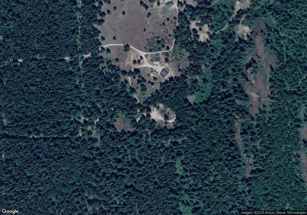
Map
Nearby Homes
- Lot 14 Ridge Way
- 533 Artisan Way
- 250 Chief Joseph Ln
- 206 Artisan Way
- 299 Reload Rd
- 774 Old Kootenai Trail
- 3251 Elmira Rd
- 870 Samuels Rd
- 870 & 842 Samuels Rd
- NNA White Cloud
- 842 Samuels Rd
- Noble Lane Lot 1 Phase 2
- NNA Noble Lane Lot 11 Phase 2
- Lot 2A Country Meadows
- 455 Elk Grove Rd
- 362 Winding Way
- 1464 Hulett Hill Dr
- 249 Indigo Sky Rd
- 181 Calypso Ln
- 5 A St
- 2130 Hines Rd
- 1810 Hines Rd
- 287 Candlelight Ln
- 286 Candlelight Ln
- 0 Rascals Rd
- 75 Candlelight Ln
- 234 Candlelight Ln
- NNA Candlelight Ln
- 1889 Upper Samuels Rd
- NNA Highland Rd
- 564 Highlands Rd
- 631 Sitting Bull Rd
- 1885 Highlands
- 669 Sitting Bull Rd
- 791 Sitting Bull Rd
- 1715 Upper Samuels Rd
- 717 Sitting Bull Rd
- 784 Highlands Rd
- 717 Artisan Way
- 517 Sitting Bull Rd
Your Personal Tour Guide
Ask me questions while you tour the home.