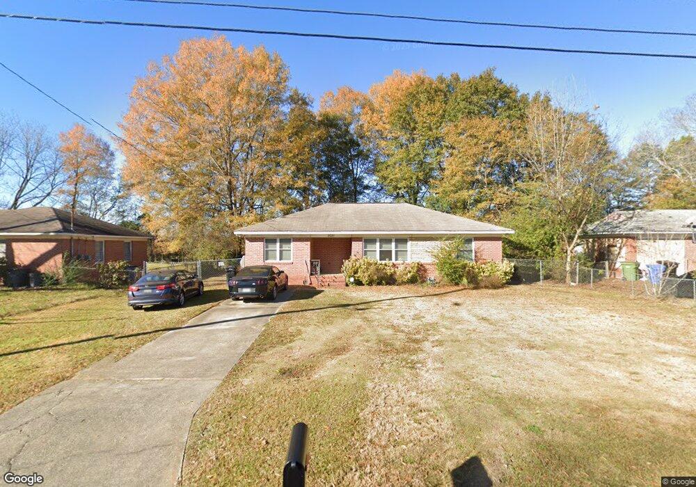
2021 Howe Ave Columbus, GA 31903
South Columbus NeighborhoodEstimated Value: $126,000 - $154,000
3
Beds
3
Baths
1,927
Sq Ft
$72/Sq Ft
Est. Value
About This Home
This home is located at 2021 Howe Ave, Columbus, GA 31903 and is currently estimated at $138,556, approximately $71 per square foot. 2021 Howe Ave is a home located in Muscogee County with nearby schools including South Columbus Elementary School, Eddy Middle School, and Spencer High School.
Ownership History
Date
Name
Owned For
Owner Type
Purchase Details
Closed on
Jun 5, 2019
Sold by
Tyra Roy L
Bought by
Holman James and Holman Cheree
Current Estimated Value
Purchase Details
Closed on
Jul 16, 2007
Sold by
Marcum Mun Cha and Thompson Mun Cha
Bought by
Tyra Roy L and Tyra Thelma
Create a Home Valuation Report for This Property
The Home Valuation Report is an in-depth analysis detailing your home's value as well as a comparison with similar homes in the area
Home Values in the Area
Average Home Value in this Area
Purchase History
| Date | Buyer | Sale Price | Title Company |
|---|---|---|---|
| Holman James | $102,500 | -- | |
| Tyra Roy L | $60,000 | None Available |
Source: Public Records
Tax History
| Year | Tax Paid | Tax Assessment Tax Assessment Total Assessment is a certain percentage of the fair market value that is determined by local assessors to be the total taxable value of land and additions on the property. | Land | Improvement |
|---|---|---|---|---|
| 2025 | $185 | $47,324 | $4,480 | $42,844 |
| 2024 | $1,704 | $43,532 | $4,480 | $39,052 |
| 2023 | $1,715 | $43,532 | $4,480 | $39,052 |
| 2022 | $1,372 | $33,604 | $4,480 | $29,124 |
| 2021 | $1,123 | $27,500 | $4,480 | $23,020 |
| 2020 | $1,123 | $27,500 | $4,480 | $23,020 |
| 2019 | $1,442 | $30,500 | $4,480 | $26,020 |
| 2018 | $1,442 | $30,500 | $4,480 | $26,020 |
| 2017 | $1,448 | $30,500 | $4,480 | $26,020 |
| 2016 | $1,455 | $48,543 | $3,827 | $44,716 |
| 2015 | $1,200 | $48,543 | $3,827 | $44,716 |
| 2014 | $1,443 | $48,543 | $3,827 | $44,716 |
| 2013 | -- | $48,543 | $3,827 | $44,716 |
Source: Public Records
Map
Nearby Homes
- 3018 Plantation Rd
- 3015 Hendrix St
- 2940 Blan St
- 2102 Somerset Ave
- 2058 Somerset Ave
- 3048 Knox St
- 2309 Ginny Ave
- 1818 Somerset Ave
- 3120 Drake St
- 3044 Wise St
- 2720 Broadmoor Dr
- 2425 Howe Ave
- 3233 Hendrix St
- 2241 Bruce Ave
- 3063 Meade St
- 2720 Wise St
- 2333 Bruce Ave
- 2450 Cornell Ave
- 2505 Broadmoor Dr
- 2940 Walker St
- 2027 Howe Ave
- 2015 Howe Ave
- 2033 Howe Ave
- 2009 Howe Ave
- 3001 Grenada Dr
- 3002 Grenada Dr
- 2039 Howe Ave
- 2003 Howe Ave
- 3005 Grenada Dr
- 3002 Plantation Rd
- 3006 Grenada Dr
- 3006 Plantation Rd
- 3009 Grenada Dr
- 3001 Ormand Dr
- 3010 Grenada Dr
- 3005 Ormand Dr
- 1957 Howe Ave
- 3010 Plantation Rd
- 3011 Grenada Dr
- 3014 Grenada Dr
Your Personal Tour Guide
Ask me questions while you tour the home.