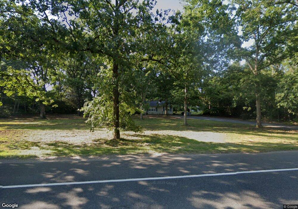
2021 Mays Landing Rd Millville, NJ 08332
Estimated Value: $276,000 - $373,000
--
Bed
--
Bath
1,560
Sq Ft
$198/Sq Ft
Est. Value
About This Home
This home is located at 2021 Mays Landing Rd, Millville, NJ 08332 and is currently estimated at $308,799, approximately $197 per square foot. 2021 Mays Landing Rd is a home with nearby schools including Dr. William Mennies School, Landis Middle School, and Vineland Senior High School.
Ownership History
Date
Name
Owned For
Owner Type
Purchase Details
Closed on
May 8, 2018
Sold by
Est William Rose Marie
Bought by
Patton Amber D
Current Estimated Value
Purchase Details
Closed on
Jul 22, 2005
Sold by
Williams Rose Marie
Bought by
Williams Frederick R and Williams Rose Marie
Purchase Details
Closed on
Feb 28, 2005
Sold by
Starcher Brian
Bought by
Hunter Rose Marie S and Williams Frederick R
Home Financials for this Owner
Home Financials are based on the most recent Mortgage that was taken out on this home.
Original Mortgage
$186,000
Interest Rate
5.66%
Purchase Details
Closed on
Feb 28, 2002
Sold by
Julien Serge
Bought by
Starcher Brian
Home Financials for this Owner
Home Financials are based on the most recent Mortgage that was taken out on this home.
Original Mortgage
$127,500
Interest Rate
6.85%
Create a Home Valuation Report for This Property
The Home Valuation Report is an in-depth analysis detailing your home's value as well as a comparison with similar homes in the area
Home Values in the Area
Average Home Value in this Area
Purchase History
| Date | Buyer | Sale Price | Title Company |
|---|---|---|---|
| Patton Amber D | -- | -- | |
| Williams Frederick R | -- | -- | |
| Hunter Rose Marie S | $190,000 | -- | |
| Starcher Brian | $125,000 | -- |
Source: Public Records
Mortgage History
| Date | Status | Borrower | Loan Amount |
|---|---|---|---|
| Previous Owner | Hunter Rose Marie S | $186,000 | |
| Previous Owner | Starcher Brian | $127,500 |
Source: Public Records
Tax History Compared to Growth
Tax History
| Year | Tax Paid | Tax Assessment Tax Assessment Total Assessment is a certain percentage of the fair market value that is determined by local assessors to be the total taxable value of land and additions on the property. | Land | Improvement |
|---|---|---|---|---|
| 2025 | $5,072 | $159,300 | $50,600 | $108,700 |
| 2024 | $5,072 | $159,300 | $50,600 | $108,700 |
| 2023 | $5,039 | $159,300 | $50,600 | $108,700 |
| 2022 | $4,889 | $159,300 | $50,600 | $108,700 |
| 2021 | $4,800 | $159,300 | $50,600 | $108,700 |
| 2020 | $4,663 | $159,300 | $50,600 | $108,700 |
| 2019 | $4,599 | $159,300 | $50,600 | $108,700 |
| 2018 | $4,478 | $159,300 | $50,600 | $108,700 |
| 2017 | -- | $159,300 | $50,600 | $108,700 |
| 2016 | -- | $159,300 | $50,600 | $108,700 |
| 2015 | $91 | $159,300 | $50,600 | $108,700 |
| 2014 | $91 | $159,300 | $50,600 | $108,700 |
Source: Public Records
Map
Nearby Homes
- 2110 Mays Landing Rd Unit 199
- 2110 Mays Landing Rd Unit 14
- 2110 Mays Landing Rd Unit 73
- 2110 Mays Landing Rd Unit 77
- 2110 Mays Landing Rd Unit 169
- 2110 Mays Landing Rd
- 2110 Mays Landing Rd Unit 317
- 2110 Mays Landing Rd Unit 267
- 2110 Mays Landing Rd Unit 308
- 4770 Stoney Bridge Rd
- 1921 Mountain Dr
- 2801 Leaming Mill Rd
- 2655 Mays Landing Rd
- 4225 Mays Landing Rd
- 9 Greenlawn Ct
- 447 Manor Ave
- 429 Manor Ave
- 1916 Bessie Way
- 1812 Newcombtown Rd
- 4518 E Sherman Ave
- 2065 E Landis Ave
- 2110 #219 Mays Landing
- 5010 Covered Bridge Rd
- 1973 Mays Landing Rd
- 1940 Mays Landing Rd
- 2110 Covered Bridge Rd
- 2065 Mays Landing Rd
- 4997 Covered Bridge Rd
- 5163 Snyder Ave
- 4960 Coverbridge Rd
- 4960 Covered Bridge Rd
- 2112 Mays Landing Rd
- 4971 Covered Bridge Rd
- 5209 Snyder Ave
- 4930 Covered Bridge Rd
- 1931 Little Bridge Rd
- 2110 Mays Landing Road #302
- 4910 Covered Bridge Rd
- 5235 Snyder Ave
- 4955 Covered Bridge Rd