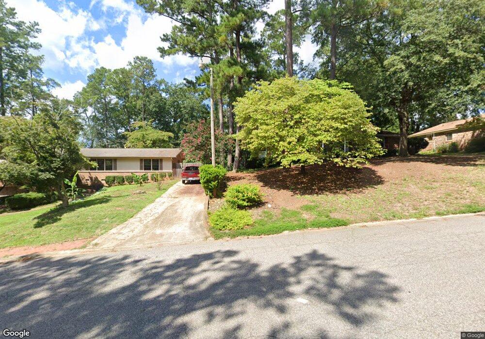
2021 Merry Dr West Columbia, SC 29169
Estimated Value: $130,000 - $194,000
2
Beds
1
Bath
1,240
Sq Ft
$128/Sq Ft
Est. Value
About This Home
This home is located at 2021 Merry Dr, West Columbia, SC 29169 and is currently estimated at $159,090, approximately $128 per square foot. 2021 Merry Dr is a home located in Lexington County with nearby schools including Riverbank Elementary, Cyril B. Busbee Creative Arts Academy, and Brookland-Cayce High School.
Ownership History
Date
Name
Owned For
Owner Type
Purchase Details
Closed on
Feb 24, 2021
Sold by
Sellars William E and Founders Fund
Bought by
Columbia Ny Llc
Current Estimated Value
Create a Home Valuation Report for This Property
The Home Valuation Report is an in-depth analysis detailing your home's value as well as a comparison with similar homes in the area
Home Values in the Area
Average Home Value in this Area
Purchase History
| Date | Buyer | Sale Price | Title Company |
|---|---|---|---|
| Columbia Ny Llc | $87,000 | None Available |
Source: Public Records
Tax History Compared to Growth
Tax History
| Year | Tax Paid | Tax Assessment Tax Assessment Total Assessment is a certain percentage of the fair market value that is determined by local assessors to be the total taxable value of land and additions on the property. | Land | Improvement |
|---|---|---|---|---|
| 2024 | $1,802 | $5,220 | $1,500 | $3,720 |
| 2023 | $1,802 | $5,220 | $1,500 | $3,720 |
| 2022 | $1,684 | $5,220 | $1,500 | $3,720 |
| 2020 | $1,774 | $5,722 | $1,500 | $4,222 |
| 2019 | $1,706 | $5,454 | $1,500 | $3,954 |
| 2018 | $1,690 | $5,454 | $1,500 | $3,954 |
| 2017 | $1,666 | $5,454 | $1,500 | $3,954 |
| 2016 | $1,681 | $5,453 | $1,500 | $3,953 |
| 2014 | $1,245 | $4,756 | $1,500 | $3,256 |
| 2013 | -- | $4,760 | $1,500 | $3,260 |
Source: Public Records
Map
Nearby Homes
- 212 Alexandria St
- 1802 D Ave
- 116 Silver Run Place
- 309 Hammond Ave
- 1734 C Ave
- 135 Silver Run Place
- 224 17th St
- 207 Woodhaven Dr
- 215 Sandel Ln
- 2004 Dew Ave
- 339 Gum Swamp Trail
- 1628 C Ave
- 415 Graham St
- 349 Gum Swamp Trail
- 1608 Crapps Ave
- 106 Earl Ct
- 1610 D Ave
- 1615 Holland St
- 1452 C Ave
- 165 Cavendish Dr
- 110 Carlin Dr
- 1949 Augusta Rd
- 109 Manning Dr
- 121 Manning Dr
- 1945 Augusta Rd
- 140 Carlin Dr
- 123 Manning Dr
- 112 Manning Dr
- 104 Manning Dr
- 1937 Augusta Rd
- 120 Manning Dr
- 124 Manning Dr
- 135 Alexandria St Unit A
- 135 Alexandria St Unit B
- 125 Manning Dr
- Augusta Rd
- 125 Carlin Dr
- 133 Alexandria St
- 106 Hendrix St
- 131 Alexandria St