2021 Olmstead Dr Woodstock, IL 60098
Estimated Value: $250,000 - $298,211
3
Beds
3
Baths
1,673
Sq Ft
$166/Sq Ft
Est. Value
About This Home
This home is located at 2021 Olmstead Dr, Woodstock, IL 60098 and is currently estimated at $277,053, approximately $165 per square foot. 2021 Olmstead Dr is a home located in McHenry County with nearby schools including Prairiewood Elementary School, Creekside Middle School, and Woodstock High School.
Ownership History
Date
Name
Owned For
Owner Type
Purchase Details
Closed on
Mar 29, 2022
Sold by
Emling Bruce M
Bought by
Dice Susan
Current Estimated Value
Home Financials for this Owner
Home Financials are based on the most recent Mortgage that was taken out on this home.
Original Mortgage
$196,000
Outstanding Balance
$184,584
Interest Rate
4.5%
Mortgage Type
New Conventional
Estimated Equity
$92,469
Purchase Details
Closed on
Jun 13, 2006
Sold by
The Maples At Woodstock Llc
Bought by
Emling Bruce M and Meesenburg Sven
Home Financials for this Owner
Home Financials are based on the most recent Mortgage that was taken out on this home.
Original Mortgage
$161,350
Interest Rate
6.72%
Mortgage Type
Purchase Money Mortgage
Create a Home Valuation Report for This Property
The Home Valuation Report is an in-depth analysis detailing your home's value as well as a comparison with similar homes in the area
Home Values in the Area
Average Home Value in this Area
Purchase History
| Date | Buyer | Sale Price | Title Company |
|---|---|---|---|
| Dice Susan | -- | None Listed On Document | |
| Emling Bruce M | $230,500 | Chicago Title |
Source: Public Records
Mortgage History
| Date | Status | Borrower | Loan Amount |
|---|---|---|---|
| Open | Dice Susan | $196,000 | |
| Previous Owner | Emling Bruce M | $161,350 |
Source: Public Records
Tax History Compared to Growth
Tax History
| Year | Tax Paid | Tax Assessment Tax Assessment Total Assessment is a certain percentage of the fair market value that is determined by local assessors to be the total taxable value of land and additions on the property. | Land | Improvement |
|---|---|---|---|---|
| 2024 | $7,332 | $87,581 | $3,901 | $83,680 |
| 2023 | $7,748 | $79,202 | $3,528 | $75,674 |
| 2022 | $7,247 | $70,289 | $3,131 | $67,158 |
| 2021 | $6,931 | $65,672 | $2,925 | $62,747 |
| 2020 | $6,705 | $62,402 | $2,779 | $59,623 |
| 2019 | $7,261 | $66,186 | $2,948 | $63,238 |
| 2018 | $6,850 | $61,452 | $3,362 | $58,090 |
| 2017 | $7,720 | $66,006 | $3,164 | $62,842 |
| 2016 | $7,713 | $61,117 | $2,930 | $58,187 |
| 2013 | -- | $52,725 | $5,364 | $47,361 |
Source: Public Records
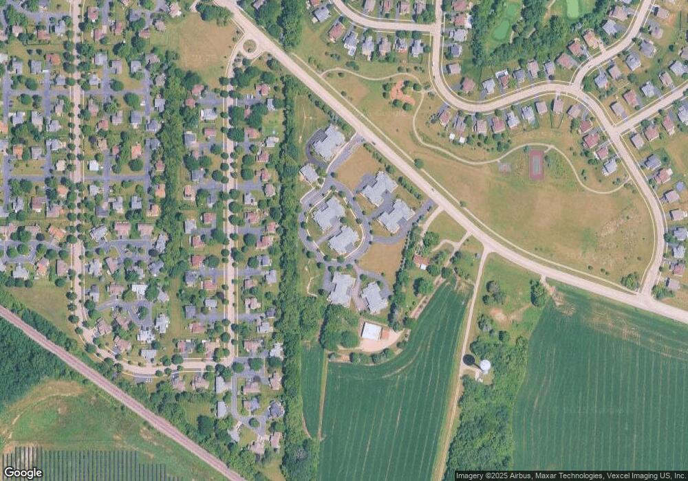
Map
Nearby Homes
- Lot 5 Olmstead Dr
- Lot 2 Olmstead Dr
- lot 1 Mcconnell Rd
- 2525 Applewood Ln
- 2108 Aspen Dr
- 2101 Preswick Ln
- 2019 Aspen Dr
- 2021 Aspen Dr
- Lot #23 Ridgemoor Trail
- Lot #22 Ridgemoor Trail
- Lot #21 Ridgemoor Trail
- Lot #34 W Longwood Dr
- Lot #33 W Longwood Dr
- Lot #28 W Longwood Dr
- Lot #29 W Longwood Dr
- 2417 Fairview Cir
- 0000 Lake Shore Dr
- 1480 W Longwood Dr
- 1624 Bull Valley Dr
- 1601 Bobolink Cir
- 2025 Olmstead Dr Unit 8A
- 2025 Olmstead Dr
- 2023 Olmstead Dr Unit 8D
- 2027 Olmstead Dr Unit 8C
- 2021 Olmstead Dr Unit 8B
- 2019 Olmstead Dr Unit 9D
- 2015 Olmstead Dr Unit 9C
- 2017 Olmstead Dr Unit 9B
- 2017 Olmstead Dr Unit 2017
- 2013 Olmstead Dr
- 2013 Olmstead Dr Unit 9A
- 2040 Olmstead Dr Unit 7D
- 2044 Olmstead Dr Unit 7C
- 2042 Olmstead Dr Unit 7B
- 2046 Olmstead Dr
- 2040 Olmstead Dr Unit D
- NEA 5 Lot 2 Olmstead Dr
- NEA 2 Lot 2 Olmstead Dr
- 2020 Olmstead Dr Unit 4B
- 2022 Olmstead Dr Unit 4D