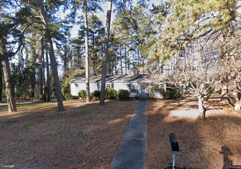
2021 Robin Rd Salisbury, NC 28144
Estimated Value: $240,920 - $308,000
Studio
2
Baths
1,794
Sq Ft
$149/Sq Ft
Est. Value
About This Home
This home is located at 2021 Robin Rd, Salisbury, NC 28144 and is currently estimated at $267,730, approximately $149 per square foot. 2021 Robin Rd is a home located in Rowan County with nearby schools including Carroll T Overton Elementary School, North Rowan Middle School, and Salisbury High School.
Ownership History
Date
Name
Owned For
Owner Type
Purchase Details
Closed on
Mar 30, 1994
Bought by
Bontumasi Daniel F
Current Estimated Value
Create a Home Valuation Report for This Property
The Home Valuation Report is an in-depth analysis detailing your home's value as well as a comparison with similar homes in the area
Home Values in the Area
Average Home Value in this Area
Purchase History
| Date | Buyer | Sale Price | Title Company |
|---|---|---|---|
| Bontumasi Daniel F | $84,500 | -- |
Source: Public Records
Tax History
| Year | Tax Paid | Tax Assessment Tax Assessment Total Assessment is a certain percentage of the fair market value that is determined by local assessors to be the total taxable value of land and additions on the property. | Land | Improvement |
|---|---|---|---|---|
| 2025 | $2,422 | $202,487 | $29,295 | $173,192 |
| 2024 | $2,422 | $202,487 | $29,295 | $173,192 |
| 2023 | $2,422 | $202,487 | $29,295 | $173,192 |
| 2022 | $1,658 | $120,363 | $24,413 | $95,950 |
| 2021 | $1,658 | $120,363 | $24,413 | $95,950 |
| 2020 | $1,658 | $120,363 | $24,413 | $95,950 |
| 2019 | $1,658 | $120,363 | $24,413 | $95,950 |
| 2018 | $1,403 | $103,249 | $24,412 | $78,837 |
| 2017 | $1,395 | $103,249 | $24,412 | $78,837 |
| 2016 | $1,357 | $103,249 | $24,412 | $78,837 |
| 2015 | $1,365 | $103,249 | $24,412 | $78,837 |
| 2014 | $1,401 | $107,224 | $24,412 | $82,812 |
Source: Public Records
Map
Nearby Homes
- 636 Statesville Blvd
- 400 Statesville Blvd
- 1300 Larchmont Place Unit 402
- 1300 Larchmont Place Unit 504
- 1300 Larchmont Place
- 519 Riviera Dr
- 0000 Hogans Valley Way Unit 181
- 151 E Corriher Ave
- 301 S Merritt Ave
- 1304 Brenner Ave
- 0 Hogans Valley Way Unit CAR4284662
- 0 Hogans Valley Way Unit CAR4284649
- 106 Gallarie Place
- 104 Gallarie Place
- 113 S Milford Dr
- 1625 Emerald Ave
- 2920 W Innes St
- 225 Valleyview Place
- 205 Windsor Dr
- 207 N Milford Dr
- 2023 Robin Rd
- 2025 Robin Rd
- 2006 Robin Rd
- 2020 Robin Rd
- 2000 Robin Rd
- 2017 N Park Dr
- 2029 Robin Rd
- 2024 Robin Rd
- 622 Statesville Blvd
- 2032 Robin Rd
- 2004 Robin Rd
- 632 Statesville Blvd
- 2023 N Park Dr
- 515 Lantz Ave
- 2009 Schofield Place
- 602 Lantz Ave
- 428 Statesville Blvd
- 2013 Schofield Place
- 2001 Schofield Place
- 2031 N Park Dr
Your Personal Tour Guide
Ask me questions while you tour the home.