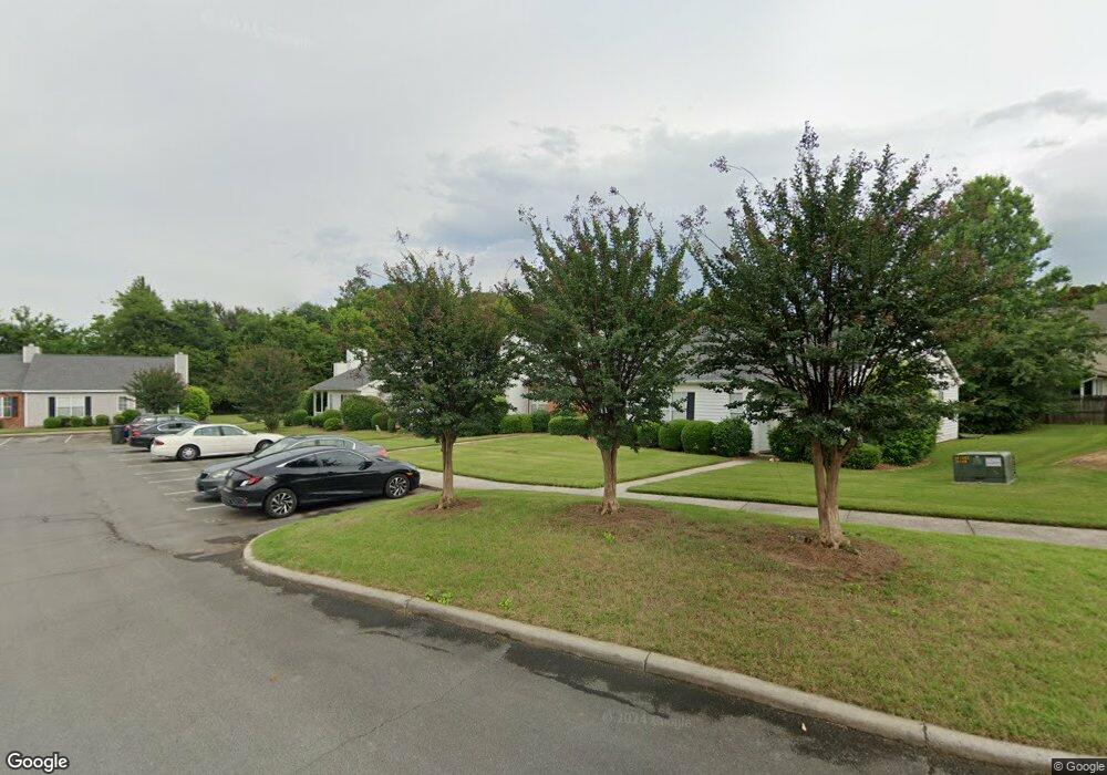
2021 Shields Rd Unit 9 Dalton, GA 30720
Estimated Value: $224,438 - $239,000
Studio
2
Baths
1,290
Sq Ft
$179/Sq Ft
Est. Value
About This Home
This home is located at 2021 Shields Rd Unit 9, Dalton, GA 30720 and is currently estimated at $231,110, approximately $179 per square foot. 2021 Shields Rd Unit 9 is a home located in Whitfield County with nearby schools including Brookwood Elementary School, Dalton High School, and Rock Hill School.
Ownership History
Date
Name
Owned For
Owner Type
Purchase Details
Closed on
Feb 10, 2023
Sold by
Redmon Suzanne Louise
Bought by
Mcclure Cynthia Dianne
Current Estimated Value
Purchase Details
Closed on
May 7, 2010
Sold by
Hoskins Joann C
Bought by
Redmon Betty Jane
Purchase Details
Closed on
Jan 10, 2002
Sold by
Parsons Joann C
Bought by
Hoskins Joann
Purchase Details
Closed on
Aug 1, 1993
Bought by
Parsons Joann C
Create a Home Valuation Report for This Property
The Home Valuation Report is an in-depth analysis detailing your home's value as well as a comparison with similar homes in the area
Purchase History
| Date | Buyer | Sale Price | Title Company |
|---|---|---|---|
| Mcclure Cynthia Dianne | -- | -- | |
| Redmon Suzanne Louise | -- | -- | |
| Redmon Betty Jane | $120,000 | -- | |
| Hoskins Joann | -- | -- | |
| Parsons Joann C | $62,000 | -- |
Source: Public Records
Tax History
| Year | Tax Paid | Tax Assessment Tax Assessment Total Assessment is a certain percentage of the fair market value that is determined by local assessors to be the total taxable value of land and additions on the property. | Land | Improvement |
|---|---|---|---|---|
| 2025 | -- | $82,819 | $0 | $82,819 |
| 2024 | -- | $82,819 | $0 | $82,819 |
| 2023 | $275 | $57,612 | $0 | $57,612 |
| 2022 | $197 | $46,963 | $0 | $46,963 |
| 2021 | $197 | $46,963 | $0 | $46,963 |
| 2020 | $192 | $43,050 | $0 | $43,050 |
| 2019 | $203 | $43,050 | $0 | $43,050 |
| 2018 | $196 | $41,034 | $5,040 | $35,994 |
| 2017 | $196 | $41,034 | $5,040 | $35,994 |
| 2016 | $184 | $39,265 | $5,040 | $34,225 |
| 2014 | $120 | $39,265 | $5,040 | $34,225 |
| 2013 | -- | $39,265 | $5,040 | $34,225 |
Source: Public Records
Map
Nearby Homes
- 1506 Summer Gate Way
- 1506 Summer Gate Way Unit 8
- 1482 Mineral Springs Rd
- 1908 Fairfield Dr
- 1910 Fairfield Dr
- 1922 Fairfield Dr
- 1498 Mineral Springs Rd
- 1803 Waterford Place
- 1704 Southmont Dr
- 111 Broadview Terrace
- 00 Rio Vista Dr
- 2002 Kingsridge Dr
- 1123 Ridgeleigh Cir
- 1117 Lakemont Dr
- 1913 Tara Place
- 1300 Belmont Dr
- 0 Lakemont Dr Unit 10664970
- 0 Lakemont Dr Unit 1524585
- 0 Lakemont Dr Unit 131479
- 1230 W Lakeshore Dr W
- 2019 Shields Rd
- 2023 Shields Rd
- 2017 Shields Rd Unit 7
- 2025 Shields Rd Unit 11
- 2015 Shields Rd Unit 6
- 2027 Shields Rd Unit 12
- 2013 Shields Rd
- 1481 Westover Place
- 1475 Westover Place Unit 30
- 2011 Shields Rd Unit 4
- 2029 Shields Rd Unit 13
- 1473 Westover Place
- 2024 Shields Rd Unit 27
- 1483 Westover Place Unit 28
- 2009 Shields Rd Unit 3
- 2022 Shields Rd Unit 28
- 1467 Westover Place
- 2026 Shields Rd Unit 26
- 2031 Shields Rd Unit 14
- 1499 Westover Place
Your Personal Tour Guide
Ask me questions while you tour the home.