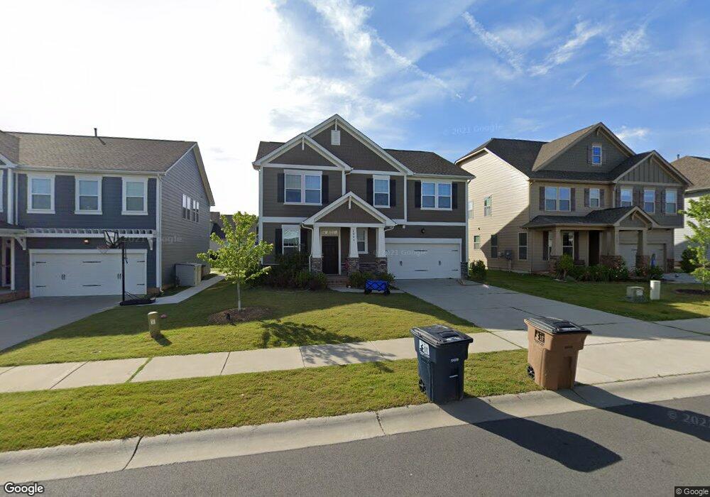
2021 Union Grove Ln Unit 63 Indian Trail, NC 28079
Estimated Value: $475,269 - $518,000
3
Beds
3
Baths
2,522
Sq Ft
$201/Sq Ft
Est. Value
About This Home
This home is located at 2021 Union Grove Ln Unit 63, Indian Trail, NC 28079 and is currently estimated at $506,567, approximately $200 per square foot. 2021 Union Grove Ln Unit 63 is a home located in Union County with nearby schools including Sardis Elementary School, Porter Ridge Middle School, and Porter Ridge High School.
Ownership History
Date
Name
Owned For
Owner Type
Purchase Details
Closed on
Aug 31, 2022
Sold by
Sanchez Yriarte Juan D and Sanchez Isabela Mihaela
Bought by
Radical Real Estate Holdings Llc
Current Estimated Value
Home Financials for this Owner
Home Financials are based on the most recent Mortgage that was taken out on this home.
Original Mortgage
$311,500
Outstanding Balance
$297,721
Interest Rate
5.3%
Mortgage Type
New Conventional
Estimated Equity
$208,846
Purchase Details
Closed on
Oct 23, 2017
Sold by
Avh Carolinas Llc
Bought by
Sanchez Juan D and Sanchez Mocanu Mihaela Isabela
Home Financials for this Owner
Home Financials are based on the most recent Mortgage that was taken out on this home.
Original Mortgage
$156,750
Interest Rate
3.78%
Mortgage Type
New Conventional
Create a Home Valuation Report for This Property
The Home Valuation Report is an in-depth analysis detailing your home's value as well as a comparison with similar homes in the area
Home Values in the Area
Average Home Value in this Area
Purchase History
| Date | Buyer | Sale Price | Title Company |
|---|---|---|---|
| Radical Real Estate Holdings Llc | $440,000 | -- | |
| Sanchez Juan D | $275,000 | None Available |
Source: Public Records
Mortgage History
| Date | Status | Borrower | Loan Amount |
|---|---|---|---|
| Open | Radical Real Estate Holdings Llc | $311,500 | |
| Previous Owner | Sanchez Juan D | $156,750 |
Source: Public Records
Tax History Compared to Growth
Tax History
| Year | Tax Paid | Tax Assessment Tax Assessment Total Assessment is a certain percentage of the fair market value that is determined by local assessors to be the total taxable value of land and additions on the property. | Land | Improvement |
|---|---|---|---|---|
| 2024 | $2,832 | $335,800 | $61,500 | $274,300 |
| 2023 | $2,807 | $335,800 | $61,500 | $274,300 |
| 2022 | $2,807 | $335,800 | $61,500 | $274,300 |
| 2021 | $2,807 | $335,800 | $61,500 | $274,300 |
| 2020 | $1,868 | $239,600 | $41,000 | $198,600 |
| 2019 | $2,375 | $239,600 | $41,000 | $198,600 |
| 2018 | $1,868 | $239,600 | $41,000 | $198,600 |
| 2017 | $10 | $41,000 | $41,000 | $0 |
| 2016 | $0 | $0 | $0 | $0 |
Source: Public Records
Map
Nearby Homes
- 2026 Union Grove Ln
- 1009 Kemp Rd
- 3013 Doughton Ln
- 2006 Paddington Dr
- 3612 Esther St
- 3900 Crimson Wing Dr
- 3613 Arthur St
- 3702 Arthur St
- 5901 Creft Cir
- 3319 Creek Trail Rd
- 6017 Creft Cir
- 6045 Creft Cir
- 3722 Society Ct
- 6107 Margaret Ct
- 3800 York Alley
- 1010 Glen Hollow Dr
- 5706 Sustar Dr
- 3508 Mayhurst Dr
- 7002 Creft Cir
- 7005 Creft Cir
- 2021 Union Grove Ln
- 2017 Union Grove Ln
- 2025 Union Grove Ln
- 2013 Union Grove Ln
- 2029 Union Grove Ln
- 1026 Mendenhall St
- 1014 Mendenhall St
- 1022 Mendenhall St
- 1018 Mendenhall St
- 2014 Union Grove Ln
- 2018 Union Grove Ln
- 2010 Union Grove Ln
- 1014 Mendenhall St
- 1022 Mendenhall St
- 2022 Union Grove Ln
- 2006 Union Grove Ln
- 2026R Union Grove Ln
- 2004 Union Grove Ln
- 2005 Union Grove Ln
- 1010 Mendenhall St