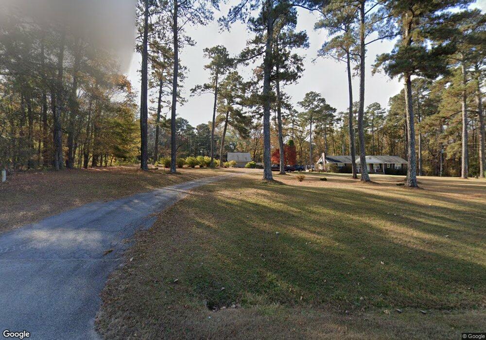
2021 Washington Hwy Union Point, GA 30669
Estimated Value: $240,000 - $383,000
--
Bed
3
Baths
2,001
Sq Ft
$155/Sq Ft
Est. Value
About This Home
This home is located at 2021 Washington Hwy, Union Point, GA 30669 and is currently estimated at $309,854, approximately $154 per square foot. 2021 Washington Hwy is a home located in Greene County with nearby schools including Greene County High School.
Ownership History
Date
Name
Owned For
Owner Type
Purchase Details
Closed on
Jun 3, 2005
Sold by
Jennette Peggy A
Bought by
Jennette Peggy A and Wells David Scott
Current Estimated Value
Home Financials for this Owner
Home Financials are based on the most recent Mortgage that was taken out on this home.
Original Mortgage
$170,500
Outstanding Balance
$86,725
Interest Rate
5.66%
Mortgage Type
New Conventional
Estimated Equity
$223,129
Purchase Details
Closed on
Jan 1, 1977
Sold by
Moon William E and Moon Evelyn
Bought by
Stephens Linda L and Stephens Kenneth D
Purchase Details
Closed on
Jan 1, 1969
Sold by
Mitchell Jack
Bought by
Moon William E and Moon Evelyn
Purchase Details
Closed on
Jan 1, 1964
Bought by
Mitchell Jack
Create a Home Valuation Report for This Property
The Home Valuation Report is an in-depth analysis detailing your home's value as well as a comparison with similar homes in the area
Home Values in the Area
Average Home Value in this Area
Purchase History
| Date | Buyer | Sale Price | Title Company |
|---|---|---|---|
| Jennette Peggy A | -- | -- | |
| Jennette Peggy A | $179,500 | -- | |
| Stephens Linda L | -- | -- | |
| Moon William E | -- | -- | |
| Mitchell Jack | -- | -- |
Source: Public Records
Mortgage History
| Date | Status | Borrower | Loan Amount |
|---|---|---|---|
| Open | Jennette Peggy A | $170,500 |
Source: Public Records
Tax History Compared to Growth
Tax History
| Year | Tax Paid | Tax Assessment Tax Assessment Total Assessment is a certain percentage of the fair market value that is determined by local assessors to be the total taxable value of land and additions on the property. | Land | Improvement |
|---|---|---|---|---|
| 2025 | $1,092 | $115,080 | $16,720 | $98,360 |
| 2024 | $1,164 | $109,280 | $18,040 | $91,240 |
| 2023 | $876 | $103,240 | $14,520 | $88,720 |
| 2022 | $1,074 | $67,880 | $11,160 | $56,720 |
| 2021 | $1,064 | $62,600 | $11,160 | $51,440 |
| 2020 | $984 | $54,640 | $8,320 | $46,320 |
| 2019 | $1,012 | $54,640 | $8,320 | $46,320 |
| 2018 | $991 | $54,640 | $8,320 | $46,320 |
| 2017 | $938 | $54,743 | $8,322 | $46,421 |
| 2016 | $966 | $56,089 | $8,322 | $47,767 |
| 2015 | $939 | $56,089 | $8,322 | $47,767 |
| 2014 | $944 | $55,245 | $8,322 | $46,923 |
Source: Public Records
Map
Nearby Homes
- 1860 Washington Hwy
- 0 Woodland Ct Unit 10543600
- 112 Hendry St
- 324 N Rhodes St
- 202 Veazey St
- 215 Hunter St
- 5401 Union Point Hwy
- 1201 Buffalo Lick Rd
- 0 Buffalo Lick Rd Unit 10551234
- 0 Buffalo Lick Rd Unit 10551325
- 0 S Rhodes St Unit 10618488
- 1041 Hillcrest Dr
- 0 Washington Hwy Unit 7276060
- 1241 Old Siloam Rd
- 1581 Highway 77 S
- 1581 Highway 77 S Hwy
- 1251 Adams Rd
- 0 Old Union Point Rd Unit 1 10557753
- 1251 Brick House Rd
- 1251 Brickhouse Rd
- 1960 Washington Hwy
- 1920 Washington Hwy
- 2161 Washington Hwy
- 1990 Washington Hwy
- 2211 Washington Hwy
- 1690 N Rhodes St
- 1690 N Rhodes St
- 1771 Washington Hwy
- 1661 N Rhodes St
- 2251 Washington Hwy
- 1620 N Rhodes St
- 2291 Washington Hwy
- 1630 N Rhodes St
- 1570 N Rhodes St
- 1561 N Rhodes St
- 2980 Temperence Bell Rd
- 1551 N Rhodes St
- 1521 N Rhodes St
- 2960 Temperance Bell Rd
- 1482 N Rhodes St