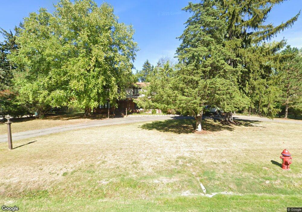
20210 Coryell Dr Beverly Hills, MI 48025
Estimated Value: $503,000 - $614,000
4
Beds
3
Baths
2,666
Sq Ft
$207/Sq Ft
Est. Value
About This Home
This home is located at 20210 Coryell Dr, Beverly Hills, MI 48025 and is currently estimated at $553,132, approximately $207 per square foot. 20210 Coryell Dr is a home located in Oakland County with nearby schools including Wylie E. Groves High School, Bingham Farms Elementary School, and Berkshire Middle School.
Ownership History
Date
Name
Owned For
Owner Type
Purchase Details
Closed on
Apr 17, 2007
Sold by
Taylor Linda
Bought by
Hsbc Bank Usa Na and Fieldstone Mortgage Investment Trust Ser
Current Estimated Value
Purchase Details
Closed on
Aug 30, 2006
Sold by
Estate Of Robert R Baker and Carney Diane L
Bought by
Taylor Linda
Create a Home Valuation Report for This Property
The Home Valuation Report is an in-depth analysis detailing your home's value as well as a comparison with similar homes in the area
Home Values in the Area
Average Home Value in this Area
Purchase History
| Date | Buyer | Sale Price | Title Company |
|---|---|---|---|
| Hsbc Bank Usa Na | $303,211 | None Available | |
| Taylor Linda | $335,000 | Title One Inc |
Source: Public Records
Tax History Compared to Growth
Tax History
| Year | Tax Paid | Tax Assessment Tax Assessment Total Assessment is a certain percentage of the fair market value that is determined by local assessors to be the total taxable value of land and additions on the property. | Land | Improvement |
|---|---|---|---|---|
| 2024 | $4,317 | $234,340 | $0 | $0 |
| 2023 | $4,142 | $228,820 | $0 | $0 |
| 2022 | $4,492 | $219,310 | $0 | $0 |
| 2021 | $4,529 | $199,090 | $0 | $0 |
| 2020 | $4,169 | $190,830 | $0 | $0 |
| 2019 | $2,997 | $186,320 | $0 | $0 |
| 2018 | $4,360 | $160,790 | $0 | $0 |
| 2017 | $4,338 | $160,790 | $0 | $0 |
| 2016 | $4,350 | $154,240 | $0 | $0 |
| 2015 | -- | $143,600 | $0 | $0 |
| 2014 | -- | $123,570 | $0 | $0 |
| 2011 | -- | $103,660 | $0 | $0 |
Source: Public Records
Map
Nearby Homes
- 20079 Forestwood St
- 20666 Southome St
- 19245 Eldridge Ln
- 19710 W 13 Mile Rd Unit 107
- 19710 W 13 Mile Rd Unit 111
- 19710 W 13 Mile Rd Unit 101
- 19710 W 13 Mile Rd Unit 105
- 19710 W 13 Mile Rd Unit 201
- 19710 W 13 Mile Rd Unit 108
- 31462 Waltham Rd
- 31035 Tremont Ln
- 19938 Waltham Rd
- 31018 Pickwick Ln
- 31112 Pickwick Ln
- 29585 Woodhaven Ln
- 29120 Evergreen Rd Unit 17
- 19905 Beverly Rd
- 29281 Stellamar Dr
- 30301 Spring River Dr
- 29230 Bermuda Ln
- 20250 Coryell Dr
- 20180 Coryell Dr
- 20221 Plantation Ln
- 20201 Coryell Dr
- 20185 Plantation Ln
- 20241 Coryell Dr
- 20300 Coryell Dr
- 20169 Coryell Dr
- 20070 Coryell Dr
- 20305 Plantation Ln
- 20285 Coryell Dr
- 20065 Plantation Ln
- 20065 Coryell Dr
- 30272 Embassy St
- 20230 Plantation Ln
- 30460 Embassy St
- 20272 Plantation Ln
- 30250 Embassy St
- 30436 Embassy St
- 30234 Embassy St