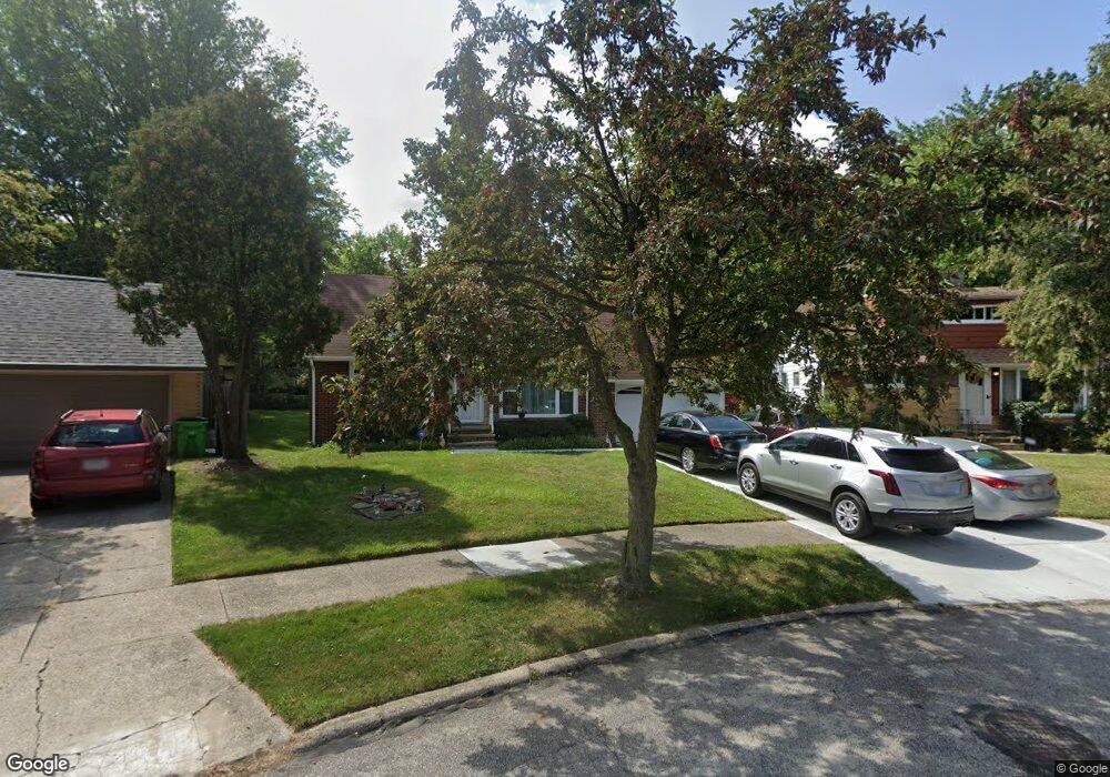
20210 Linda Dr Euclid, OH 44117
Estimated Value: $116,000 - $165,000
2
Beds
1
Bath
998
Sq Ft
$146/Sq Ft
Est. Value
About This Home
This home is located at 20210 Linda Dr, Euclid, OH 44117 and is currently estimated at $146,019, approximately $146 per square foot. 20210 Linda Dr is a home located in Cuyahoga County with nearby schools including Bluestone Elementary School, Euclid Middle School, and Euclid High School.
Ownership History
Date
Name
Owned For
Owner Type
Purchase Details
Closed on
Sep 16, 1998
Sold by
Lanser Family Trust and Trus Lanser Robert W
Bought by
Whitlow Dennis Louise
Current Estimated Value
Home Financials for this Owner
Home Financials are based on the most recent Mortgage that was taken out on this home.
Original Mortgage
$108,000
Outstanding Balance
$23,251
Interest Rate
6.99%
Estimated Equity
$122,769
Purchase Details
Closed on
Dec 10, 1993
Sold by
Lanser Robert
Bought by
Lanser Family Trust
Purchase Details
Closed on
Jun 17, 1980
Sold by
Lanser Robert W and Lanser Edith M
Bought by
Lanser Robert
Purchase Details
Closed on
Jan 1, 1975
Bought by
Lanser Robert W and Lanser Edith M
Create a Home Valuation Report for This Property
The Home Valuation Report is an in-depth analysis detailing your home's value as well as a comparison with similar homes in the area
Home Values in the Area
Average Home Value in this Area
Purchase History
| Date | Buyer | Sale Price | Title Company |
|---|---|---|---|
| Whitlow Dennis Louise | $120,000 | Choice Title Agency Inc | |
| Lanser Family Trust | -- | -- | |
| Lanser Robert | -- | -- | |
| Lanser Robert W | -- | -- |
Source: Public Records
Mortgage History
| Date | Status | Borrower | Loan Amount |
|---|---|---|---|
| Open | Whitlow Dennis Louise | $108,000 |
Source: Public Records
Tax History Compared to Growth
Tax History
| Year | Tax Paid | Tax Assessment Tax Assessment Total Assessment is a certain percentage of the fair market value that is determined by local assessors to be the total taxable value of land and additions on the property. | Land | Improvement |
|---|---|---|---|---|
| 2024 | $3,186 | $46,130 | $9,940 | $36,190 |
| 2023 | $3,337 | $38,820 | $8,720 | $30,100 |
| 2022 | $3,260 | $38,820 | $8,720 | $30,100 |
| 2021 | $3,634 | $38,820 | $8,720 | $30,100 |
| 2020 | $3,445 | $33,460 | $7,530 | $25,940 |
| 2019 | $3,100 | $95,600 | $21,500 | $74,100 |
| 2018 | $3,071 | $33,460 | $7,530 | $25,940 |
| 2017 | $3,306 | $29,540 | $5,460 | $24,080 |
| 2016 | $3,313 | $29,190 | $5,460 | $23,730 |
| 2015 | $2,980 | $29,190 | $5,460 | $23,730 |
| 2014 | $2,980 | $29,190 | $5,460 | $23,730 |
Source: Public Records
Map
Nearby Homes
- 2150 Glenridge Rd
- 19871 Upper Valley Dr
- 2441 Malden Rd
- 19201 Shawnee Rd
- 2337 Greenvale Rd
- 19201 Genesee Rd
- 24 Washington Square
- 2536 Greenvale Rd
- 209 Greenbriar Ct
- 237 Greenbriar Ct Unit F237
- 1721 Grand Blvd
- 1777 Catalpa Rd
- 2217 Belvoir Blvd
- 3803 Bridgeview Dr
- 1860 Glenridge Rd
- 4002 Lancaster Rd
- 4031 Suffolk Rd
- 220 Greenvale Rd
- 1897 Torbenson Dr
- 565 Quilliams Rd
- 20220 Linda Dr
- 2190 Crescent Dr
- 20230 Linda Dr
- 2188 Crescent Dr
- 20221 Blackfoot Ave
- 2184 Crescent Dr
- 20201 Blackfoot Ave
- 20231 Blackfoot Ave
- 20221 Linda Dr
- 20240 Linda Dr
- 20231 Linda Dr
- 2015 Sagamore Dr
- 20241 Blackfoot Ave
- 2009 Sagamore Dr
- 2021 Sagamore Dr
- 20250 Linda Dr
- 2180 Crescent Dr
- 20241 Linda Dr
- 2003 Sagamore Dr
- 2025 Sagamore Dr