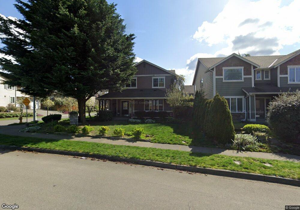
20214 10th Ave W Lynnwood, WA 98036
Queensborough-Brentwood NeighborhoodEstimated Value: $1,104,315 - $1,210,000
4
Beds
3
Baths
2,526
Sq Ft
$451/Sq Ft
Est. Value
About This Home
This home is located at 20214 10th Ave W, Lynnwood, WA 98036 and is currently estimated at $1,138,079, approximately $450 per square foot. 20214 10th Ave W is a home located in Snohomish County with nearby schools including Hilltop Elementary School, Brier Terrace Middle School, and Mountlake Terrace High School.
Ownership History
Date
Name
Owned For
Owner Type
Purchase Details
Closed on
Oct 12, 2004
Sold by
Mietzner Homes Inc
Bought by
Dao Justin T and Hoang Jade T
Current Estimated Value
Home Financials for this Owner
Home Financials are based on the most recent Mortgage that was taken out on this home.
Original Mortgage
$299,992
Outstanding Balance
$133,255
Interest Rate
4.25%
Mortgage Type
Purchase Money Mortgage
Estimated Equity
$1,004,824
Create a Home Valuation Report for This Property
The Home Valuation Report is an in-depth analysis detailing your home's value as well as a comparison with similar homes in the area
Home Values in the Area
Average Home Value in this Area
Purchase History
| Date | Buyer | Sale Price | Title Company |
|---|---|---|---|
| Dao Justin T | $374,990 | Pnwt |
Source: Public Records
Mortgage History
| Date | Status | Borrower | Loan Amount |
|---|---|---|---|
| Open | Dao Justin T | $299,992 | |
| Closed | Dao Justin T | $56,248 |
Source: Public Records
Tax History Compared to Growth
Tax History
| Year | Tax Paid | Tax Assessment Tax Assessment Total Assessment is a certain percentage of the fair market value that is determined by local assessors to be the total taxable value of land and additions on the property. | Land | Improvement |
|---|---|---|---|---|
| 2025 | $7,097 | $911,600 | $515,000 | $396,600 |
| 2024 | $7,097 | $857,800 | $475,000 | $382,800 |
| 2023 | $8,284 | $1,051,000 | $610,000 | $441,000 |
| 2022 | $7,089 | $730,300 | $356,000 | $374,300 |
| 2020 | $7,153 | $651,100 | $307,000 | $344,100 |
| 2019 | $6,564 | $594,300 | $250,000 | $344,300 |
| 2018 | $6,606 | $527,200 | $220,000 | $307,200 |
| 2017 | $5,536 | $456,900 | $168,000 | $288,900 |
| 2016 | $5,130 | $424,800 | $148,000 | $276,800 |
| 2015 | $4,877 | $383,400 | $135,000 | $248,400 |
| 2013 | $4,184 | $311,800 | $116,000 | $195,800 |
Source: Public Records
Map
Nearby Homes
- 19505 Damson Rd Unit C1
- 19505 Damson Rd Unit C3
- 1815 201st Place SW
- 20914 13th Place W
- 19403 7th Ave W Unit C1
- 319 196th Place SW Unit 102
- 0 Larch Way Unit NWM2427085
- 19225 Damson Rd Unit N-2
- 123 194th Place SW
- 19 198th Place SE
- 604 213th St SW
- 1919 196th St SW Unit 61
- 20901 Cypress Way Unit 16
- 18901 12th Place W Unit H2
- 212 xx Cypress Way
- 19224 Meridian Dr SE Unit CW 09
- 1700 Magnolia Rd
- 19726 Filbert Dr
- 19228 Meridian Dr SE Unit CW 10
- 20325 24th Place W
- 1016 Lawton Rd
- 9 Lawton Rd
- 1007 203rd St SW
- 1015 203rd St SW
- 20215 10th Ave W
- 1024 Lawton Rd
- 931 203rd St SW
- 1023 203rd St SW
- 20212 10th Ave W
- 930 Lawton Rd
- 20128 10th Ave W
- 20207 11th Ave W
- 20213 11th Ave W
- 929 203rd St SW
- 20203 11th Ave W
- 20211 10th Ave W
- 20219 11th Ave W
- 20208 10th Ave W
- 20225 11th Ave W