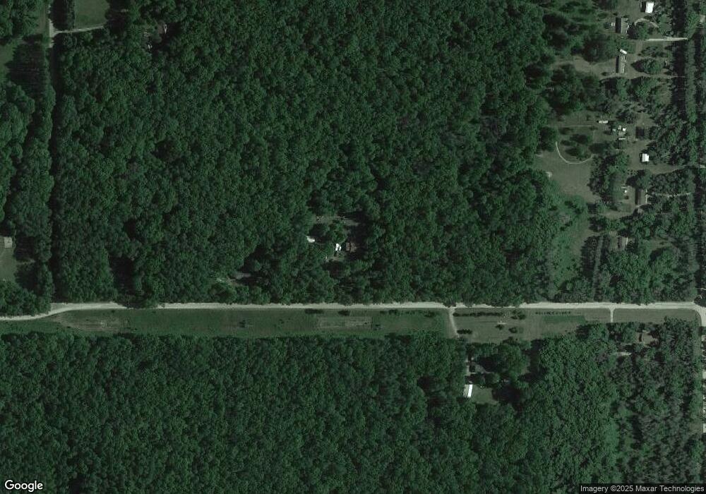
20214 Husier Rd Wellston, MI 49689
Estimated Value: $228,000 - $303,000
3
Beds
2
Baths
1,344
Sq Ft
$203/Sq Ft
Est. Value
About This Home
This home is located at 20214 Husier Rd, Wellston, MI 49689 and is currently estimated at $273,148, approximately $203 per square foot. 20214 Husier Rd is a home located in Manistee County with nearby schools including Kaleva Norma Dickson Elementary School, Brethren Middle School, and Brethren Middle/High School.
Ownership History
Date
Name
Owned For
Owner Type
Purchase Details
Closed on
Oct 10, 2010
Sold by
Suggs Thomas
Current Estimated Value
Purchase Details
Closed on
Aug 4, 2010
Sold by
Secretary Of Housing & Urban Dev
Bought by
Suggs Thomas
Purchase Details
Closed on
Jun 23, 2009
Sold by
Wells Fargo Bank
Bought by
Secretary Of Housing & Urban Dev
Purchase Details
Closed on
Jun 19, 2008
Sold by
Oshaughnessy Lorrie Lynn
Bought by
Wells Fargo Bank Na
Purchase Details
Closed on
Dec 1, 2004
Create a Home Valuation Report for This Property
The Home Valuation Report is an in-depth analysis detailing your home's value as well as a comparison with similar homes in the area
Home Values in the Area
Average Home Value in this Area
Purchase History
| Date | Buyer | Sale Price | Title Company |
|---|---|---|---|
| -- | -- | -- | |
| Suggs Thomas | $44,700 | -- | |
| Secretary Of Housing & Urban Dev | -- | -- | |
| Wells Fargo Bank Na | $164,200 | -- | |
| -- | -- | -- |
Source: Public Records
Tax History Compared to Growth
Tax History
| Year | Tax Paid | Tax Assessment Tax Assessment Total Assessment is a certain percentage of the fair market value that is determined by local assessors to be the total taxable value of land and additions on the property. | Land | Improvement |
|---|---|---|---|---|
| 2025 | $2,147 | $118,000 | $0 | $0 |
| 2024 | $827 | $108,200 | $0 | $0 |
| 2023 | $791 | $92,800 | $0 | $0 |
| 2022 | $1,961 | $83,300 | $83,300 | $0 |
| 2021 | $1,885 | $76,800 | $76,800 | $0 |
| 2020 | $1,823 | $75,600 | $75,600 | $0 |
| 2019 | $2,917 | $69,000 | $69,000 | $0 |
| 2018 | $2,863 | $60,600 | $60,600 | $0 |
| 2017 | $2,805 | $58,300 | $58,300 | $0 |
| 2016 | $669 | $57,600 | $57,600 | $0 |
| 2015 | -- | $59,900 | $59,900 | $0 |
| 2014 | -- | $59,000 | $0 | $0 |
Source: Public Records
Map
Nearby Homes
- 00 Laverne Rd
- 21425 Caberfae Hwy
- 18570 Caberfae Hwy
- 250 Warfield Rd
- 17851 Caberfae Hwy
- 17741 Caberfae Hwy
- 1154 S Tippy Dam Rd
- 1186 S Baker Rd
- 0 St
- 1306 N Tippy Dam Rd
- 17423 Spring St
- V/L Spring St
- 17124 8th St
- 1657 Seaman Rd
- 0 8th St Unit 25023279
- 0 Main St
- 17111 Gene St
- 17016 6th St
- 3799 Maple Dr
- 16920 6th St
