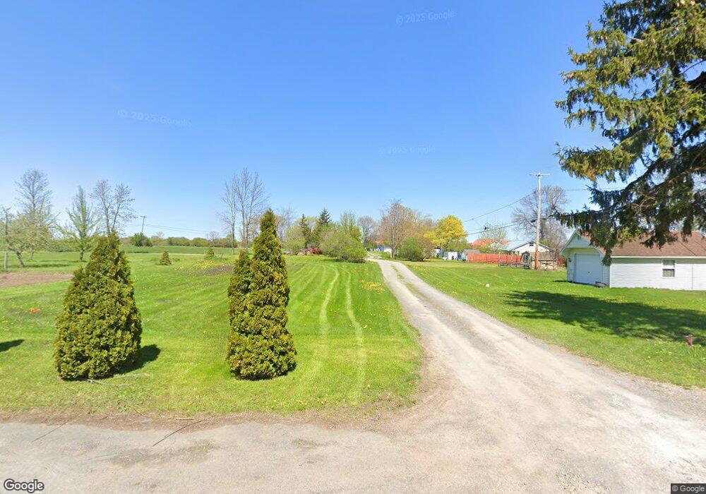
20216 Shore Rd Dexter, NY 13634
Estimated Value: $340,000 - $421,000
2
Beds
1
Bath
1,000
Sq Ft
$385/Sq Ft
Est. Value
About This Home
This home is located at 20216 Shore Rd, Dexter, NY 13634 and is currently estimated at $384,533, approximately $384 per square foot. 20216 Shore Rd is a home located in Jefferson County with nearby schools including General Brown Junior/Senior High School.
Ownership History
Date
Name
Owned For
Owner Type
Purchase Details
Closed on
Oct 24, 2016
Sold by
Burnham Kathleen M
Bought by
Jones Hershel
Current Estimated Value
Home Financials for this Owner
Home Financials are based on the most recent Mortgage that was taken out on this home.
Original Mortgage
$270,697
Outstanding Balance
$217,869
Interest Rate
3.5%
Mortgage Type
Purchase Money Mortgage
Estimated Equity
$166,664
Purchase Details
Closed on
Jan 16, 2009
Sold by
Salazar Julie
Bought by
Burnham Kathleen
Purchase Details
Closed on
Jul 28, 2005
Sold by
Nadelen Bradley
Bought by
Salazar Julie
Purchase Details
Closed on
Jan 26, 1999
Sold by
Gardner Hilda M
Bought by
Nadelen Bradley S
Create a Home Valuation Report for This Property
The Home Valuation Report is an in-depth analysis detailing your home's value as well as a comparison with similar homes in the area
Home Values in the Area
Average Home Value in this Area
Purchase History
| Date | Buyer | Sale Price | Title Company |
|---|---|---|---|
| Jones Hershel | $265,000 | Doldo & Neddo, P.C. | |
| Burnham Kathleen | $89,000 | -- | |
| Salazar Julie | $92,900 | -- | |
| Nadelen Bradley S | $36,000 | -- |
Source: Public Records
Mortgage History
| Date | Status | Borrower | Loan Amount |
|---|---|---|---|
| Open | Jones Hershel | $270,697 |
Source: Public Records
Tax History Compared to Growth
Tax History
| Year | Tax Paid | Tax Assessment Tax Assessment Total Assessment is a certain percentage of the fair market value that is determined by local assessors to be the total taxable value of land and additions on the property. | Land | Improvement |
|---|---|---|---|---|
| 2024 | $4,386 | $209,500 | $25,700 | $183,800 |
| 2023 | $4,409 | $209,500 | $25,700 | $183,800 |
| 2022 | $4,227 | $209,500 | $25,700 | $183,800 |
| 2021 | $4,140 | $209,500 | $25,700 | $183,800 |
| 2020 | $4,147 | $209,500 | $25,700 | $183,800 |
| 2019 | $4,006 | $209,500 | $25,700 | $183,800 |
| 2018 | $4,006 | $208,000 | $25,700 | $182,300 |
| 2017 | $3,951 | $208,000 | $25,700 | $182,300 |
| 2016 | $3,890 | $208,000 | $25,700 | $182,300 |
| 2015 | -- | $123,500 | $18,100 | $105,400 |
| 2014 | -- | $123,500 | $18,100 | $105,400 |
Source: Public Records
Map
Nearby Homes
- 21045 County Route 59
- 23214 County Route 59
- 23109 Stone Rd
- 0 Point Peninsula Rd Unit S1630991
- 17869 County Route 59
- Lot 2 S South Shore Rd
- 17695 County Route 59
- 23747 County Route 59
- 23652 Ackerman Rd Unit 656
- 401 Pike St
- 209 Monroe St
- 209 E Main St
- 133 Vollum - Lot 5 Rd
- 109 Funnycide Dr
- 18121 Howe Shore Dr
- 0 Timmerman Rd
- 314 Dodge Ave
- 108 Mill Creek Ln
- 22341 Luff Shores Ln
- NE of E Main Street E Main St
- 20216 County Route 59
- 20214 County Route 59
- 20222 County Route 59
- 20228 County Route 59
- 20232 County Route 59
- 20190 County Route 59
- 20176 County Route 59
- 20292 County Route 59
- 20164 County Route 59
- 20152 County Route 59
- 20330 County Route 59
- 20139 County Route 59
- 20144 County Route 59
- 20338 County Route 59
- 20126 County Route 59
- 20123 County Route 59
- 20113 County Route 59
- 20101 County Route 59
- 20096 County Route 59
- 20092 County Route 59