2022 Baptist Rd Durham, NC 27703
Eastern Durham NeighborhoodEstimated Value: $439,000 - $643,760
3
Beds
2
Baths
2,278
Sq Ft
$252/Sq Ft
Est. Value
About This Home
This home is located at 2022 Baptist Rd, Durham, NC 27703 and is currently estimated at $574,440, approximately $252 per square foot. 2022 Baptist Rd is a home located in Durham County with nearby schools including Glenn Elementary, John W Neal Middle School, and Southern School of Energy & Sustainability.
Ownership History
Date
Name
Owned For
Owner Type
Purchase Details
Closed on
May 29, 2009
Sold by
Edwards Michael Ray and Edwards Rhonda Carpenter
Bought by
Edwards Michael Ray and Edwards Rhonda Carpenter
Current Estimated Value
Home Financials for this Owner
Home Financials are based on the most recent Mortgage that was taken out on this home.
Original Mortgage
$173,000
Interest Rate
4.8%
Mortgage Type
New Conventional
Create a Home Valuation Report for This Property
The Home Valuation Report is an in-depth analysis detailing your home's value as well as a comparison with similar homes in the area
Home Values in the Area
Average Home Value in this Area
Purchase History
| Date | Buyer | Sale Price | Title Company |
|---|---|---|---|
| Edwards Michael Ray | -- | None Available |
Source: Public Records
Mortgage History
| Date | Status | Borrower | Loan Amount |
|---|---|---|---|
| Closed | Edwards Michael Ray | $173,000 | |
| Closed | Edwards Michael Ray | $33,000 |
Source: Public Records
Tax History
| Year | Tax Paid | Tax Assessment Tax Assessment Total Assessment is a certain percentage of the fair market value that is determined by local assessors to be the total taxable value of land and additions on the property. | Land | Improvement |
|---|---|---|---|---|
| 2025 | $4,183 | $590,840 | $195,750 | $395,090 |
| 2024 | $3,681 | $361,879 | $93,227 | $268,652 |
| 2023 | $3,463 | $361,879 | $93,227 | $268,652 |
| 2022 | $3,318 | $361,879 | $93,227 | $268,652 |
| 2021 | $2,765 | $327,301 | $93,227 | $234,074 |
| 2020 | $2,732 | $327,301 | $93,227 | $234,074 |
| 2019 | $2,732 | $342,647 | $103,586 | $239,061 |
| 2018 | $2,313 | $253,491 | $97,970 | $155,521 |
| 2017 | $2,287 | $253,491 | $97,970 | $155,521 |
| 2016 | $2,218 | $253,491 | $97,970 | $155,521 |
| 2015 | $2,129 | $213,548 | $73,006 | $140,542 |
| 2014 | $2,129 | $213,548 | $73,006 | $140,542 |
Source: Public Records
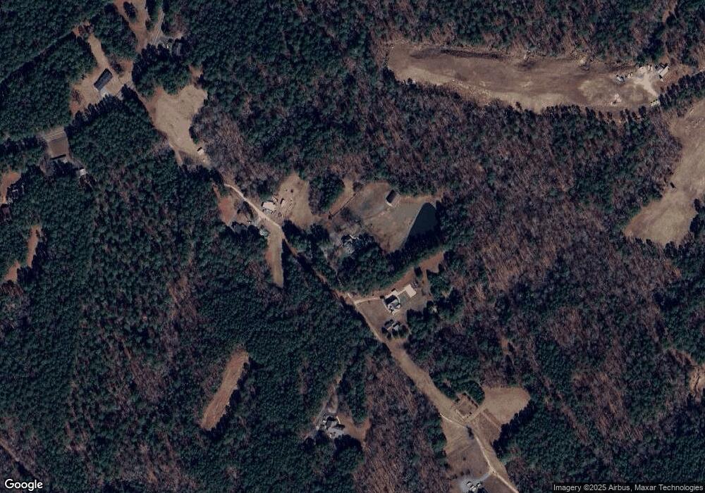
Map
Nearby Homes
- 391 & 409 Southview Rd
- 0 Southview Rd
- 1140 Masters Place Way Unit 130
- 1134 Masters Place Way Unit 127
- 1151 Masters Place Way Unit 171
- 1137 Masters Place Way
- 1137 Masters Place Way Unit 167
- 1132 Masters Place Way Unit 126
- 1133 Masters Place Way Unit 166
- 1133 Masters Place Way
- 1125 Masters Place Way Unit 163
- 3118 Kiawa Pointe Ln
- 1123 Masters Place Way Unit 162
- 1123 Masters Place Way
- 3114 Kiawa Pointe Ln
- 3114 Kiawa Pointe Ln Unit 216
- 1122 Masters Place Way Unit 121
- 1122 Masters Place Way
- 1173 Masters Place Way Unit 180
- 1173 Masters Place Way
- 2030 Baptist Rd
- 2018 Baptist Rd
- 550 Benny Ross Rd
- 550 Benny Ross Rd
- 2016 Baptist Rd
- 2118 Baptist Rd
- 1916 Baptist Rd
- 2202 Baptist Rd
- 117 Benny Ross Rd
- 2115 Baptist Rd
- 2314 Baptist Rd
- 1908 Baptist Rd
- 402 Benny Ross Rd
- 402 Benny Ross Rd Unit 4
- 2205 Baptist Rd
- 407 Benny Ross Rd
- 2305 Baptist Rd
- 391 Southview Rd
- 2402 Baptist Rd
- 1903 Baptist Rd
Your Personal Tour Guide
Ask me questions while you tour the home.