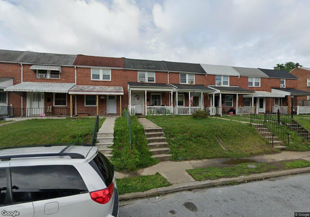
2022 Deering Ave Baltimore, MD 21230
Morrell Park NeighborhoodEstimated Value: $95,306 - $144,000
Studio
1
Bath
1,112
Sq Ft
$108/Sq Ft
Est. Value
About This Home
This home is located at 2022 Deering Ave, Baltimore, MD 21230 and is currently estimated at $119,653, approximately $107 per square foot. 2022 Deering Ave is a home located in Baltimore City with nearby schools including Morrell Park Elementary/Middle School, Booker T. Washington Middle School, and Digital Harbor High School.
Ownership History
Date
Name
Owned For
Owner Type
Purchase Details
Closed on
Mar 18, 2010
Sold by
Burr Roger A
Bought by
Burr Roger A
Current Estimated Value
Purchase Details
Closed on
Feb 22, 2000
Sold by
Dachs Howard
Bought by
Dachs Howard
Purchase Details
Closed on
Dec 14, 1999
Sold by
Geldmacher David A
Bought by
Dachs Howard
Create a Home Valuation Report for This Property
The Home Valuation Report is an in-depth analysis detailing your home's value as well as a comparison with similar homes in the area
Home Values in the Area
Average Home Value in this Area
Purchase History
| Date | Buyer | Sale Price | Title Company |
|---|---|---|---|
| Burr Roger A | -- | -- | |
| Dachs Howard | $50,030 | -- | |
| Dachs Howard | $32,500 | -- |
Source: Public Records
Tax History
| Year | Tax Paid | Tax Assessment Tax Assessment Total Assessment is a certain percentage of the fair market value that is determined by local assessors to be the total taxable value of land and additions on the property. | Land | Improvement |
|---|---|---|---|---|
| 2025 | $1,508 | $89,300 | -- | -- |
| 2024 | $1,508 | $81,300 | -- | -- |
| 2023 | $1,657 | $73,300 | $15,000 | $58,300 |
| 2022 | $1,431 | $69,633 | $0 | $0 |
| 2021 | $1,557 | $65,967 | $0 | $0 |
| 2020 | $1,336 | $62,300 | $15,000 | $47,300 |
| 2019 | $100 | $62,300 | $15,000 | $47,300 |
| 2018 | $97 | $62,300 | $15,000 | $47,300 |
| 2017 | $147 | $130,800 | $0 | $0 |
| 2016 | $1,735 | $125,933 | $0 | $0 |
| 2015 | $1,735 | $121,067 | $0 | $0 |
| 2014 | $1,735 | $116,200 | $0 | $0 |
Source: Public Records
Map
Nearby Homes
- 2036 Deering Ave
- 2809 Washington Blvd
- 1920 Maudlin Ave
- 1918 Parksley Ave
- 2104 Whistler Ave
- 1803 Casadel Ave
- 1710 Wickes Ave
- 0 Harman Ave
- 1707 Morrell Park Ave
- 1909 Harman Ave
- 2506 Washington Blvd
- 2453 Washington Blvd
- 2039 Grinnalds Ave
- 1935 Grinnalds Ave
- 1933 Grinnalds Ave
- 1918 Griffis Ave
- 1704 Harman Ave
- 2421 Arbuton Ave
- 1933 Griffis Ave
- 1707 Harman Ave
- 2024 Deering Ave
- 2020 Deering Ave
- 2026 Deering Ave
- 2018 Deering Ave
- 2028 Deering Ave
- 2016 Deering Ave
- 2030 Deering Ave
- 2014 Deering Ave
- 2032 Deering Ave
- 2012 Deering Ave
- 2034 Deering Ave
- 2010 Deering Ave
- 2008 Deering Ave
- 2009 Letitia Ave
- 2007 Letitia Ave
- 2011 Letitia Ave
- 2038 Deering Ave
- 2006 Deering Ave
- 2040 Deering Ave
- 2004 Deering Ave
Your Personal Tour Guide
Ask me questions while you tour the home.