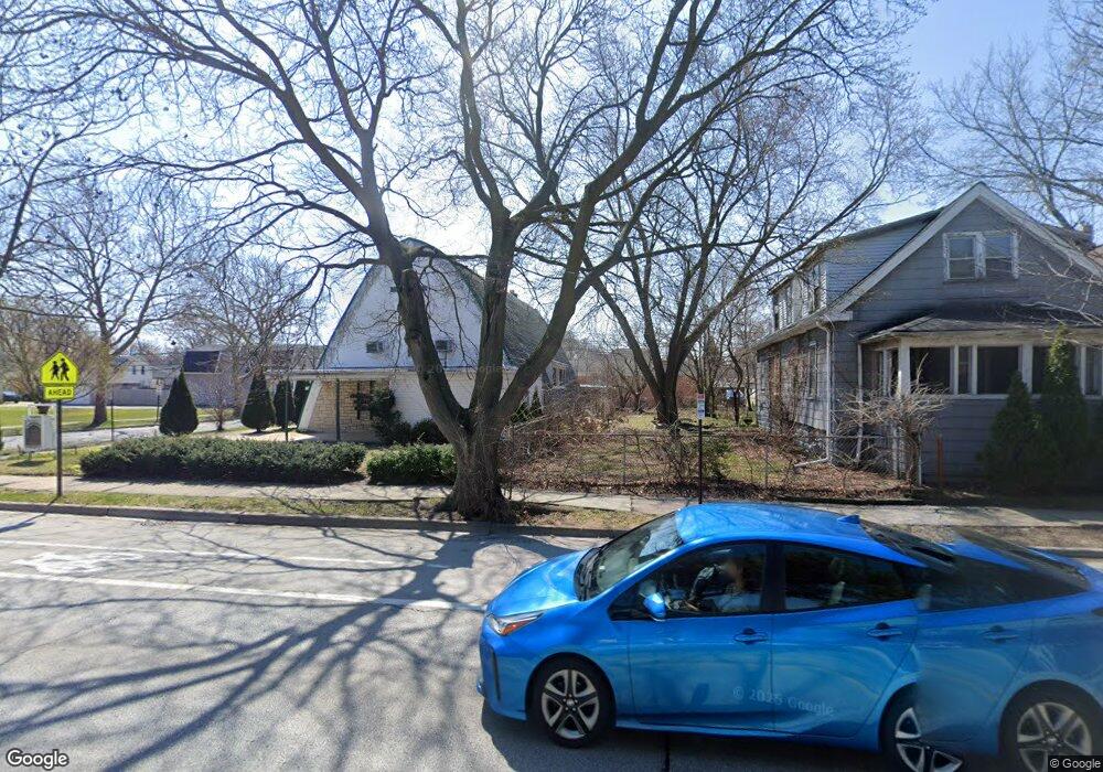
2022 Emerson St Unit W Evanston, IL 60201
West Evanston NeighborhoodEstimated Value: $320,000 - $737,000
About This Home
This home is located at 2022 Emerson St Unit W, Evanston, IL 60201 and is currently estimated at $528,500. 2022 Emerson St Unit W is a home located in Cook County with nearby schools including Kingsley Elementary School, Haven Middle School, and Evanston Township High School.
Ownership History
We collect this data history from publicly available records. To have your information removed, we recommend requesting removal directly through your county’s website.
Purchase Details
Purchase Details
Home Financials for this Owner
Home Financials are based on the most recent Mortgage that was taken out on this home.Purchase Details
Home Values in the Area
Average Home Value in this Area
Purchase History
We collect this data history from publicly available records. To have your information removed, we recommend requesting removal directly through your county’s website.
| Date | Buyer | Sale Price | Title Company |
|---|---|---|---|
| -- | First American Title | ||
| -- | First American Title | ||
| -- | First American Title |
Mortgage History
We collect this data history from publicly available records. To have your information removed, we recommend requesting removal directly through your county’s website.
| Date | Status | Borrower | Loan Amount |
|---|---|---|---|
| Previous Owner | $84,375 |
Tax History
We collect this data history from publicly available records. To have your information removed, we recommend requesting removal directly through your county’s website.
| Year | Tax Paid | Tax Assessment Tax Assessment Total Assessment is a certain percentage of the fair market value that is determined by local assessors to be the total taxable value of land and additions on the property. | Land | Improvement |
|---|---|---|---|---|
| 2025 | $908 | $4,531 | $4,531 | -- |
| 2024 | $908 | $3,750 | $3,750 | -- |
| 2023 | $871 | $3,750 | $3,750 | -- |
| 2022 | $871 | $3,750 | $3,750 | $0 |
| 2021 | $912 | $3,437 | $3,437 | $0 |
| 2020 | $900 | $3,437 | $3,437 | $0 |
| 2019 | $805 | $3,437 | $3,437 | $0 |
| 2018 | $770 | $2,812 | $2,812 | $0 |
| 2017 | $750 | $2,812 | $2,812 | $0 |
| 2016 | $712 | $2,812 | $2,812 | $0 |
| 2015 | $649 | $2,421 | $2,421 | $0 |
| 2014 | $643 | $2,421 | $2,421 | $0 |
| 2013 | $628 | $2,421 | $2,421 | $0 |
Map
- 1832 Hovland Ct
- 1836 Hartrey Ave
- 1901 Emerson St
- 1724 Hovland Ct
- 1728 Brown Ave
- 1715 Hartrey Ave
- 1727 Dodge Ave
- 2005 Darrow Ave
- 1910 Dewey Ave
- 2314 Simpson St
- 1915 Dewey Ave
- 1727 Mcdaniel Ave Unit A
- 1621 Florence Ave
- 1580 Florence Ave
- 2026 Mcdaniel Ave
- 2144 Dewey Ave
- 1744 Wesley Ave
- 1805 Wesley Ave
- 2021 Grant St
- 1915 Grant St
- 2024 Emerson St
- 2026 Emerson St
- 1838 Hovland Ct
- 2028 Emerson St
- 1836 Hovland Ct
- 2010 Emerson St
- 1834 Hovland Ct
- 2008 Emerson St
- 2100 Emerson St
- 2100 Emerson St Unit 2
- 2100 Emerson St Unit 1
- 1830 Hovland Ct
- 1835 Grey Ave
- 1837 Grey Ave Unit 2
- 1837 Grey Ave
- 1831 Grey Ave
- 2006 Emerson St
- 1837 Hovland Ct
- 2021 Emerson St
- 2021 Emerson St
Ask me questions while you tour the home.