Estimated Value: $356,000 - $433,249
3
Beds
1
Bath
1,546
Sq Ft
$254/Sq Ft
Est. Value
About This Home
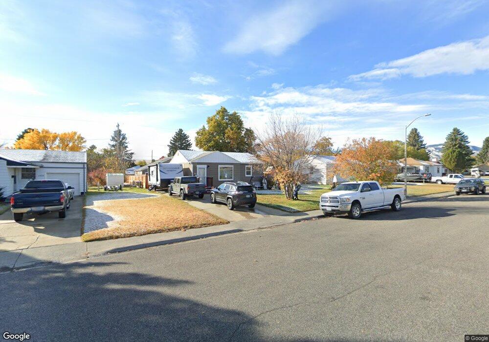
This home is located at 2022 Peake Ave Unit Lot11, Cody, WY 82414 and is currently estimated at $392,416, approximately $253 per square foot. 2022 Peake Ave Unit Lot11 is a home located in Park County with nearby schools including Cody Middle School, Cody High School, and Park Christian Schools.
Ownership History
Date
Name
Owned For
Owner Type
Purchase Details
Closed on
Oct 4, 2019
Sold by
Selby Flint M and Selby Cindy J
Bought by
Owens Troy S and Tabara Maria E
Current Estimated Value
Home Financials for this Owner
Home Financials are based on the most recent Mortgage that was taken out on this home.
Original Mortgage
$230,860
Outstanding Balance
$201,829
Interest Rate
3.4%
Mortgage Type
New Conventional
Estimated Equity
$190,587
Purchase Details
Closed on
Sep 30, 2015
Sold by
Selby Christina N
Bought by
Selby Flint M and Selby Cindy Jo
Home Financials for this Owner
Home Financials are based on the most recent Mortgage that was taken out on this home.
Original Mortgage
$106,500
Interest Rate
3.85%
Mortgage Type
New Conventional
Create a Home Valuation Report for This Property
The Home Valuation Report is an in-depth analysis detailing your home's value as well as a comparison with similar homes in the area
Home Values in the Area
Average Home Value in this Area
Purchase History
| Date | Buyer | Sale Price | Title Company |
|---|---|---|---|
| Owens Troy S | -- | -- | |
| Selby Flint M | -- | None Available |
Source: Public Records
Mortgage History
| Date | Status | Borrower | Loan Amount |
|---|---|---|---|
| Open | Owens Troy S | $230,860 | |
| Previous Owner | Selby Flint M | $106,500 |
Source: Public Records
Tax History Compared to Growth
Tax History
| Year | Tax Paid | Tax Assessment Tax Assessment Total Assessment is a certain percentage of the fair market value that is determined by local assessors to be the total taxable value of land and additions on the property. | Land | Improvement |
|---|---|---|---|---|
| 2025 | $2,070 | $27,782 | $5,169 | $22,613 |
| 2024 | $2,673 | $35,882 | $6,891 | $28,991 |
| 2023 | $2,590 | $34,767 | $6,891 | $27,876 |
| 2022 | $2,238 | $29,791 | $6,321 | $23,470 |
| 2021 | $1,834 | $24,455 | $6,322 | $18,133 |
| 2020 | $1,667 | $22,221 | $4,688 | $17,533 |
| 2019 | $1,416 | $18,883 | $4,688 | $14,195 |
| 2018 | $1,368 | $18,240 | $4,688 | $13,552 |
| 2017 | $1,301 | $17,343 | $4,688 | $12,655 |
| 2016 | $1,150 | $15,329 | $4,251 | $11,078 |
| 2015 | $1,146 | $15,083 | $4,251 | $10,832 |
| 2014 | $1,182 | $14,815 | $4,251 | $10,564 |
Source: Public Records
Map
Nearby Homes
- 2105 Stampede Ave
- 1632 20th St
- 1620 21st St
- 2122 Peake Ave
- 2026 Shoshoni Trail N
- TBD 21st St
- 1826 18th St
- 1525 19th St
- 2432 Songbird Ct Unit 10
- 2107 23rd St
- 1619 Stampede Ave
- 1809 Mountain View Dr
- 2308 Songbird Ct Unit 18
- 2307 Carter Ave
- 1726 Alger Ave
- 2314 Songbird Ct Unit 17
- 2320 Songbird Ct Unit 16
- 2319 Songbird Ct Unit 4
- 2358 Meadowlark Ct
- TBD Mountain View Dr Unit Lot 61-H
- 2022 Peake Ave
- 2028 Peake Ave
- 2016 Peake Ave
- 2104 Peake Ave
- 2010 Peake Ave
- 2021 Stampede Ave
- 1635 21st St
- 2015 Stampede Ave
- 2027 Stampede Ave
- 2007 Stampede Ave
- 2110 Peake Ave
- 2004 Peake Ave
- 1627 21st St
- 1632 21st St
- 2001 20th St
- 2109 Stampede Ave
- 2116 Peake Ave
- 1626 21st St
- 1626 21st St Unit 5
- 1626 20th St