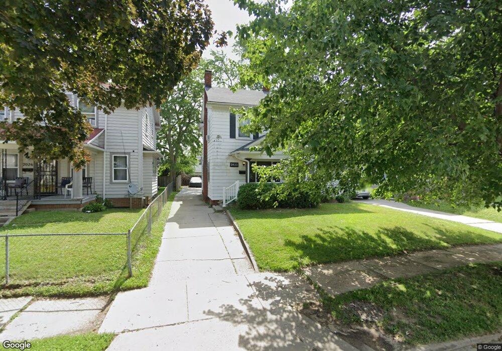
2022 Perth St Toledo, OH 43607
Ottawa NeighborhoodEstimated Value: $103,626 - $128,000
4
Beds
2
Baths
1,795
Sq Ft
$65/Sq Ft
Est. Value
About This Home
This home is located at 2022 Perth St, Toledo, OH 43607 and is currently estimated at $116,657, approximately $64 per square foot. 2022 Perth St is a home located in Lucas County with nearby schools including Old Orchard Elementary School, Start High School, and Central Academy Of Ohio.
Ownership History
Date
Name
Owned For
Owner Type
Purchase Details
Closed on
Nov 28, 2023
Sold by
Koch Ronald G
Bought by
Koch Ronald G and Koch Bernal K
Current Estimated Value
Purchase Details
Closed on
Dec 6, 2012
Sold by
Shafer John H
Bought by
Koch Ronald G
Purchase Details
Closed on
Mar 2, 2010
Sold by
Secretary Of Housing & Urban Development
Bought by
Shafer John H
Purchase Details
Closed on
Feb 17, 2009
Sold by
March Shane L
Bought by
Secretary Of The Department Of Housing &
Purchase Details
Closed on
Dec 19, 1997
Sold by
Lavey Daniel J
Bought by
March Shane L
Home Financials for this Owner
Home Financials are based on the most recent Mortgage that was taken out on this home.
Original Mortgage
$60,968
Interest Rate
2.75%
Mortgage Type
FHA
Purchase Details
Closed on
Sep 15, 1989
Sold by
Lavey D M and R M
Create a Home Valuation Report for This Property
The Home Valuation Report is an in-depth analysis detailing your home's value as well as a comparison with similar homes in the area
Home Values in the Area
Average Home Value in this Area
Purchase History
| Date | Buyer | Sale Price | Title Company |
|---|---|---|---|
| Koch Ronald G | -- | None Listed On Document | |
| Koch Ronald G | $29,600 | None Available | |
| Shafer John H | $25,420 | Attorney | |
| Secretary Of The Department Of Housing & | -- | Attorney | |
| March Shane L | $61,000 | -- | |
| -- | -- | -- |
Source: Public Records
Mortgage History
| Date | Status | Borrower | Loan Amount |
|---|---|---|---|
| Previous Owner | March Shane L | $60,968 |
Source: Public Records
Tax History Compared to Growth
Tax History
| Year | Tax Paid | Tax Assessment Tax Assessment Total Assessment is a certain percentage of the fair market value that is determined by local assessors to be the total taxable value of land and additions on the property. | Land | Improvement |
|---|---|---|---|---|
| 2024 | $581 | $17,710 | $4,935 | $12,775 |
| 2023 | $799 | $11,095 | $3,990 | $7,105 |
| 2022 | $800 | $11,095 | $3,990 | $7,105 |
| 2021 | $813 | $11,095 | $3,990 | $7,105 |
| 2020 | $795 | $9,380 | $3,430 | $5,950 |
| 2019 | $769 | $9,380 | $3,430 | $5,950 |
| 2018 | $773 | $9,380 | $3,430 | $5,950 |
| 2017 | $757 | $8,750 | $6,335 | $2,415 |
| 2016 | $785 | $25,000 | $18,100 | $6,900 |
| 2015 | $760 | $25,000 | $18,100 | $6,900 |
| 2014 | $566 | $8,760 | $6,340 | $2,420 |
| 2013 | $566 | $8,760 | $6,340 | $2,420 |
Source: Public Records
Map
Nearby Homes
- 2127 Perth St
- 2019 Kensington Rd
- 1735 Perth St
- 2547 Greenway St
- 1771 Kensington Rd
- 2003 Farnham Rd
- 2041 Richmond Rd
- 1423 Roosevelt Ave
- 1723 Potomac Dr
- 1329 Parkside Blvd
- 2000 Oakwood Ave
- 1929 Foster Ave
- 1318 Addington Rd
- 2033 Crosswell Place
- 1940 Crosswell Place
- 2114 Parkdale Ave
- 2310 Goddard Rd
- 2334 Torrey Hill Dr
- 2289 Upton Ave
- 2340 Torrey Hill Dr
- 2026 Perth St
- 2018 Perth St
- 2012 Perth St
- 2023 Evansdale Ave
- 2029 Evansdale Ave
- 2034 Perth St
- 2019 Evansdale Ave
- 2010 Perth St
- 2031 Evansdale Ave
- 2017 Evansdale Ave
- 2035 Evansdale Ave
- 2038 Perth St
- 2023 Perth St
- 2019 Perth St
- 2015 Evansdale Ave
- 2027 Perth St
- 2031 Perth St
- 2004 Perth St
- 2039 Evansdale Ave
- 2007 Evansdale Ave