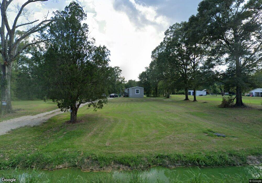
20221 La Highway 16 Denham Springs, LA 70726
Estimated Value: $40,258 - $369,000
--
Bed
--
Bath
--
Sq Ft
1.27
Acres
About This Home
This home is located at 20221 La Highway 16, Denham Springs, LA 70726 and is currently estimated at $144,315. 20221 La Highway 16 is a home located in Livingston Parish with nearby schools including Gray's Creek Elementary School, Juban Parc Junior High School, and Denham Springs Freshman High School.
Ownership History
Date
Name
Owned For
Owner Type
Purchase Details
Closed on
Feb 15, 2017
Sold by
Ford Clint M and Ford Courtney A
Bought by
Hood Joseph Edward
Current Estimated Value
Purchase Details
Closed on
Aug 14, 2009
Sold by
Daniels Candace Vincent
Bought by
Ford Clint M and Ford Courtney A
Home Financials for this Owner
Home Financials are based on the most recent Mortgage that was taken out on this home.
Original Mortgage
$108,007
Interest Rate
5.2%
Mortgage Type
FHA
Create a Home Valuation Report for This Property
The Home Valuation Report is an in-depth analysis detailing your home's value as well as a comparison with similar homes in the area
Home Values in the Area
Average Home Value in this Area
Purchase History
| Date | Buyer | Sale Price | Title Company |
|---|---|---|---|
| Hood Joseph Edward | $28,500 | None Available | |
| Ford Clint M | $110,000 | New South Title Company |
Source: Public Records
Mortgage History
| Date | Status | Borrower | Loan Amount |
|---|---|---|---|
| Previous Owner | Ford Clint M | $108,007 |
Source: Public Records
Tax History Compared to Growth
Tax History
| Year | Tax Paid | Tax Assessment Tax Assessment Total Assessment is a certain percentage of the fair market value that is determined by local assessors to be the total taxable value of land and additions on the property. | Land | Improvement |
|---|---|---|---|---|
| 2024 | $360 | $3,569 | $3,569 | $0 |
| 2023 | $266 | $2,400 | $2,400 | $0 |
| 2022 | $268 | $2,400 | $2,400 | $0 |
| 2021 | $233 | $2,400 | $2,400 | $0 |
| 2020 | $316 | $3,280 | $3,280 | $0 |
| 2019 | $188 | $1,900 | $1,900 | $0 |
| 2018 | $191 | $1,900 | $1,900 | $0 |
| 2017 | $280 | $2,800 | $2,800 | $0 |
| 2015 | $1,325 | $13,040 | $4,880 | $8,160 |
| 2014 | $1,347 | $13,040 | $4,880 | $8,160 |
Source: Public Records
Map
Nearby Homes
- 19905 Stone Hill Dr
- TBD Vincent Place Ave
- 13981 Vincent Place Ave
- 14100 Carolyn Rd
- TBD Walker Rd S
- 18475 Amite Acres Dr
- 18377 Amite Acres Dr
- TBD Lot 19-A Amite Acres Dr
- 18383 Amite Acres Dr
- TBD Lot 20-A Amite Acres Dr
- 18389 Amite Acres Dr
- TBD Lot 23-A Amite Acres Dr
- 18371 Amite Acres Dr
- 21255 Walker Rd S Unit 27
- 13822 Calle Sevario Dr
- 13876 Calle Sevario Dr
- 31460 La Hwy 16
- 43116 La Hwy 42
- 21410 La Hwy 16
- 43125 Viewside Ave
- 20237 La Highway 16
- 20224 La Highway 16
- 20224 La Highway 16
- 20195 La Hwy 16
- 20195 La Highway 16
- 20251 La Highway 16
- 20190 La Highway 16
- 20255 La Highway 16
- 20215 La Highway 16
- 13320 Vincent Place Ave
- 20259 La Highway 16
- 20130 La Highway 16
- 20285 La Highway 16
- 13299 Vincent Place Ave
- 19871 Fieldstone Dr
- 19855 Fieldstone Dr
- 19879 Fieldstone Dr
- 19887 Fieldstone Dr
- 19895 Fieldstone Dr