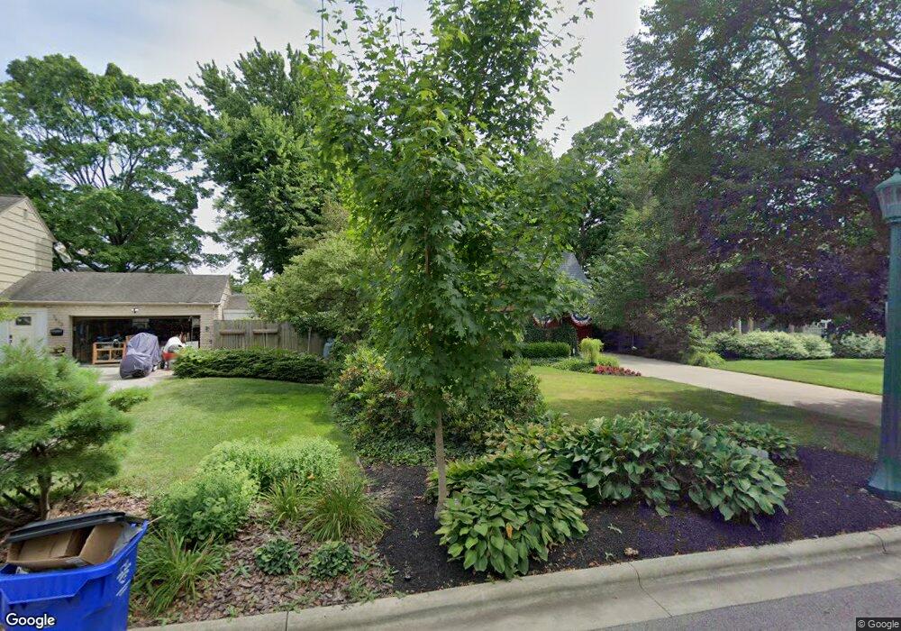
2023 Concord Rd Columbus, OH 43212
Estimated Value: $790,738 - $809,000
3
Beds
3
Baths
1,863
Sq Ft
$428/Sq Ft
Est. Value
About This Home
This home is located at 2023 Concord Rd, Columbus, OH 43212 and is currently estimated at $797,435, approximately $428 per square foot. 2023 Concord Rd is a home located in Franklin County with nearby schools including Barrington Road Elementary School, Jones Middle School, and Upper Arlington High School.
Ownership History
Date
Name
Owned For
Owner Type
Purchase Details
Closed on
Nov 18, 2011
Sold by
Ramey Denny L
Bought by
Ramey Denny L and Declaration Of Trust Of Denny
Current Estimated Value
Purchase Details
Closed on
Nov 2, 2010
Sold by
Tesner Raymond and Tesner Candace
Bought by
Tesner Candace C and Tesner R
Purchase Details
Closed on
Jun 30, 1992
Bought by
Ramey Denny L
Purchase Details
Closed on
Dec 1, 1989
Create a Home Valuation Report for This Property
The Home Valuation Report is an in-depth analysis detailing your home's value as well as a comparison with similar homes in the area
Home Values in the Area
Average Home Value in this Area
Purchase History
| Date | Buyer | Sale Price | Title Company |
|---|---|---|---|
| Ramey Denny L | -- | Attorney | |
| Tesner Candace C | -- | None Available | |
| Ramey Denny L | $195,000 | -- | |
| -- | $170,000 | -- |
Source: Public Records
Tax History
| Year | Tax Paid | Tax Assessment Tax Assessment Total Assessment is a certain percentage of the fair market value that is determined by local assessors to be the total taxable value of land and additions on the property. | Land | Improvement |
|---|---|---|---|---|
| 2025 | $12,857 | $231,880 | $121,630 | $110,250 |
| 2024 | $12,857 | $231,880 | $121,630 | $110,250 |
| 2023 | $12,734 | $231,875 | $121,625 | $110,250 |
| 2022 | $11,470 | $172,900 | $68,810 | $104,090 |
| 2021 | $10,154 | $172,900 | $68,810 | $104,090 |
| 2020 | $10,064 | $172,900 | $68,810 | $104,090 |
| 2019 | $10,150 | $155,120 | $68,810 | $86,310 |
| 2018 | $9,519 | $155,120 | $68,810 | $86,310 |
| 2017 | $10,171 | $155,120 | $68,810 | $86,310 |
| 2016 | $8,953 | $142,660 | $64,260 | $78,400 |
| 2015 | $8,946 | $142,660 | $64,260 | $78,400 |
| 2014 | $8,856 | $142,660 | $64,260 | $78,400 |
| 2013 | $4,051 | $129,675 | $58,415 | $71,260 |
Source: Public Records
Map
Nearby Homes
- 2015 W 5th Ave Unit 211
- 2015 W 5th Ave Unit 102
- 2015 W 5th Ave Unit 108
- 1585 Arlington Ave Unit 1585A
- 1579 Arlington Ave Unit 1579B
- 1530 Lincoln Rd
- 1523 Wyandotte Rd
- 1561 Glenn Ave
- 1427 Roxbury Rd Unit Manor House North
- 2006 Cambridge Blvd
- 1606 Elmwood Ave
- 1921 Wyandotte Rd
- 1443 Cliff Ct Unit 71
- 1960 Hillside Dr
- 1404 Lake Shore Dr Unit C
- 1444 Cliff Ct Unit 35
- 1648 Ashland Ave
- 1624 Ashland Ave
- 1654-1656 Ashland Ave
- 1407 Lake Shore Dr Unit 139
- 1663 Arlington Ave
- 2037 Concord Rd
- 1653 Arlington Ave
- 2020 W 5th Ave
- 2000 W 5th Ave
- 1685 Arlington Ave
- 2034 W 5th Ave
- 2036 Concord Rd
- 2020 Concord Rd
- 1674 Roxbury Rd
- 1666 Roxbury Rd
- 1695 Arlington Ave
- 2046 W 5th Ave
- 1696 Roxbury Rd
- 1971 Concord Rd
- 2037 W 5th Ave
- 1650 Arlington Ave
- 2033 W 5th Ave
- 1680 Arlington Ave
- 2011 W Chelsea Rd
Your Personal Tour Guide
Ask me questions while you tour the home.