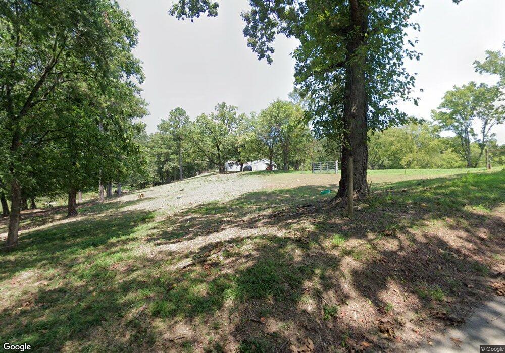
2023 Dempsey Dr SE Dalton, GA 30721
Estimated Value: $214,000 - $680,531
--
Bed
1
Bath
832
Sq Ft
$538/Sq Ft
Est. Value
About This Home
This home is located at 2023 Dempsey Dr SE, Dalton, GA 30721 and is currently estimated at $447,266, approximately $537 per square foot. 2023 Dempsey Dr SE is a home located in Whitfield County with nearby schools including Cedar Ridge Elementary School, Eastbrook Middle School, and Southeast Whitfield County High School.
Ownership History
Date
Name
Owned For
Owner Type
Purchase Details
Closed on
Jan 16, 2025
Sold by
Dempsey David J and Dempsey Keith B
Bought by
Hammer Properties Of Dalton Llc
Current Estimated Value
Purchase Details
Closed on
May 26, 2006
Sold by
Dempsey Darrel R
Bought by
Dempsey Keith B
Purchase Details
Closed on
Mar 21, 2003
Sold by
Dempsey Reuben R
Bought by
Dempsey Darrel R and Dempsey Keith B
Create a Home Valuation Report for This Property
The Home Valuation Report is an in-depth analysis detailing your home's value as well as a comparison with similar homes in the area
Home Values in the Area
Average Home Value in this Area
Purchase History
| Date | Buyer | Sale Price | Title Company |
|---|---|---|---|
| Hammer Properties Of Dalton Llc | $52,100 | None Listed On Document | |
| Hammer Properties Of Dalton Llc | $52,100 | None Listed On Document | |
| Dempsey Keith B | -- | -- | |
| Dempsey Darrel R | -- | -- |
Source: Public Records
Tax History Compared to Growth
Tax History
| Year | Tax Paid | Tax Assessment Tax Assessment Total Assessment is a certain percentage of the fair market value that is determined by local assessors to be the total taxable value of land and additions on the property. | Land | Improvement |
|---|---|---|---|---|
| 2024 | $2,172 | $187,089 | $156,442 | $30,647 |
| 2023 | $2,172 | $172,180 | $146,274 | $25,906 |
| 2022 | $1,921 | $121,434 | $103,828 | $17,606 |
| 2021 | $1,885 | $121,434 | $103,828 | $17,606 |
| 2020 | $1,912 | $121,434 | $103,828 | $17,606 |
| 2019 | $1,907 | $121,434 | $103,828 | $17,606 |
| 2018 | $1,902 | $121,434 | $103,828 | $17,606 |
| 2017 | $1,868 | $121,434 | $103,828 | $17,606 |
| 2016 | $1,720 | $119,982 | $103,828 | $16,154 |
| 2014 | $2,130 | $120,802 | $104,648 | $16,154 |
| 2013 | -- | $120,802 | $104,648 | $16,154 |
Source: Public Records
Map
Nearby Homes
- 404 Lakeview Dr SE
- 282 Cedar Ridge Rd SE
- 8011 Starr Dr SE
- 185 Cedar Ridge Rd SE
- Lt 30-33 Indian Dr NE
- Lot 30-33 Indian Trail NE
- Lot 63 Cherokee Dr NE
- 43 Washington St
- 210 Gordon Dr
- 3367 Chatsworth Hwy
- 3367 Chatsworth Rd SE
- 111 Arthur St
- 421 Coahulla Creek Dr
- 0 Tibbs Bridge Rd SE
- 2499 Maddox Chapel Rd
- 185 Cedar Ridge Rd
- 0 Monterey Drve Unit 127837
- 0 Leon Cir
- 3932 Tibbs Bridge Rd
- 760 Keith Rd SE
- 2023 Dempsey Dr SE
- 236 Cedar Ridge Rd SE
- 200 Cedar Ridge Rd SE
- 209 Cedar Ridge Rd SE
- 6007 Cedarwood Ln SE
- 202 Cedar Ridge Rd SE
- 211 Cedar Ridge Rd SE
- 6005 Cedarwood Ln SE
- 6008 Cedarwood Ln SE
- 210 Cedar Ridge Rd SE
- 6006 Cedarwood Ln SE
- 4010 Pinewood Dr SE
- 6004 Cedarwood Ln SE
- 154 Cedar Ridge Rd SE
- 311 Lakeview Dr SE
- 220 Cedar Ridge Rd SE
- 215 Lakeview Dr SE
- 6002 Cedarwood Ln SE
- 213 Lakeview Dr SE
- 309 Lakeview Dr SE
