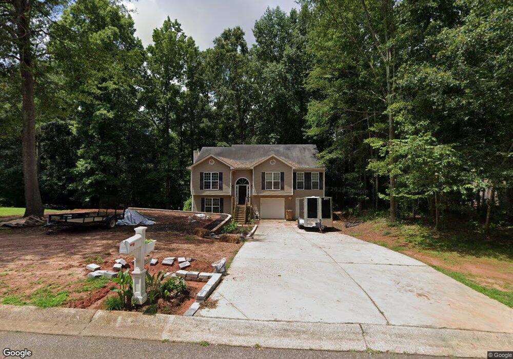
2023 Emerald Pointe Dr Winder, GA 30680
Estimated Value: $303,665 - $348,000
3
Beds
2
Baths
1,582
Sq Ft
$212/Sq Ft
Est. Value
About This Home
This home is located at 2023 Emerald Pointe Dr, Winder, GA 30680 and is currently estimated at $335,416, approximately $212 per square foot. 2023 Emerald Pointe Dr is a home located in Barrow County with nearby schools including Statham Elementary School, Bear Creek Middle School, and Winder-Barrow High School.
Ownership History
Date
Name
Owned For
Owner Type
Purchase Details
Closed on
Jul 31, 2017
Sold by
Hawkins Jacob
Bought by
Holcomb Cody and Pennington Heather
Current Estimated Value
Purchase Details
Closed on
Apr 30, 2010
Sold by
Pollard Beth
Bought by
Hawkins Jacob and Hawkins Tiffany
Home Financials for this Owner
Home Financials are based on the most recent Mortgage that was taken out on this home.
Original Mortgage
$132,340
Interest Rate
5.03%
Mortgage Type
Trade
Purchase Details
Closed on
May 14, 2004
Sold by
Southfork Hms Inc
Bought by
Pollard Beth
Purchase Details
Closed on
Mar 30, 2004
Sold by
Sierra Development Inc
Bought by
Southfork Homes Inc
Purchase Details
Closed on
Jun 18, 2002
Sold by
Davis George H
Bought by
Sierra Development Inc
Create a Home Valuation Report for This Property
The Home Valuation Report is an in-depth analysis detailing your home's value as well as a comparison with similar homes in the area
Home Values in the Area
Average Home Value in this Area
Purchase History
| Date | Buyer | Sale Price | Title Company |
|---|---|---|---|
| Holcomb Cody | $50,000 | -- | |
| Hawkins Jacob | $142,800 | -- | |
| Pollard Beth | $136,100 | -- | |
| Southfork Homes Inc | $30,000 | -- | |
| Sierra Development Inc | $419,200 | -- |
Source: Public Records
Mortgage History
| Date | Status | Borrower | Loan Amount |
|---|---|---|---|
| Previous Owner | Hawkins Jacob | $132,340 |
Source: Public Records
Tax History Compared to Growth
Tax History
| Year | Tax Paid | Tax Assessment Tax Assessment Total Assessment is a certain percentage of the fair market value that is determined by local assessors to be the total taxable value of land and additions on the property. | Land | Improvement |
|---|---|---|---|---|
| 2024 | $2,651 | $107,188 | $18,400 | $88,788 |
| 2023 | $3,045 | $107,788 | $18,400 | $89,388 |
| 2022 | $2,431 | $85,376 | $18,400 | $66,976 |
| 2021 | $2,228 | $74,126 | $16,000 | $58,126 |
| 2020 | $2,229 | $74,126 | $16,000 | $58,126 |
| 2019 | $1,930 | $63,067 | $16,000 | $47,067 |
| 2018 | $1,730 | $57,267 | $10,200 | $47,067 |
| 2017 | $1,258 | $43,196 | $10,200 | $32,996 |
| 2016 | $1,228 | $41,922 | $10,200 | $31,722 |
| 2015 | $1,244 | $42,268 | $10,200 | $32,068 |
| 2014 | $1,131 | $38,294 | $5,880 | $32,414 |
| 2013 | -- | $36,248 | $5,880 | $30,368 |
Source: Public Records
Map
Nearby Homes
- 1415 Red Oak Way
- 1423 Red Oak Way
- 1642 White Oak Dr
- 1593 Highway 82
- 1917 Hearthstone Ct
- 315 Paige Way
- 1916 Hearthstone Ct
- 1914 Hearthstone Ct
- 330 Anchors Way
- 206 Ballast Trail
- 385 Finch Landing Rd
- 29 Nunnally Rd SE
- 2075 Georgia Highway 211
- 2075 Highway 211 NE
- 1955 Paynes Point
- 310 Jacobs Ln
- 0 Georgia 330
- 1212 Highway 211 NE
- 1226 Highway 211 NE
- 2021 Emerald Pointe Dr
- 2019 Emerald Pointe Dr
- 2024 Emerald Pointe Dr
- 2022 Emerald Pointe Dr
- 2018 Emerald Pointe Dr
- 2026 Emerald Pointe Dr
- 2027 Emerald Pointe Dr
- 2017 Emerald Pointe Dr
- 2028 Emerald Pointe Dr
- 2029 Emerald Pointe Dr
- 1573 Brush Creek Dr
- 1575 Brush Creek Dr
- 1577 Brush Creek Dr
- 1571 Brush Creek Dr
- 2030 Emerald Pointe Dr
- 2015 Emerald Pointe Dr
- 2031 Emerald Pointe Dr
- 1579 Brush Creek Dr
- 2031 Emerald Pointe Dr Lot16a
- 2013 Emerald Pointe Dr