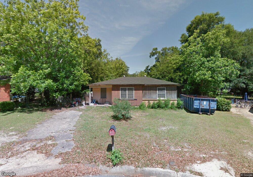
2023 Holleman Cir N Mobile, AL 36618
Autumndale NeighborhoodEstimated Value: $80,684 - $103,000
2
Beds
1
Bath
964
Sq Ft
$98/Sq Ft
Est. Value
About This Home
This home is located at 2023 Holleman Cir N, Mobile, AL 36618 and is currently estimated at $94,671, approximately $98 per square foot. 2023 Holleman Cir N is a home located in Mobile County with nearby schools including Forest Hill Elementary School, CL Scarborough Middle School, and Mattie T Blount High School.
Ownership History
Date
Name
Owned For
Owner Type
Purchase Details
Closed on
Mar 9, 2012
Sold by
Harrell Stephanie
Bought by
Crain Brad
Current Estimated Value
Purchase Details
Closed on
Jan 19, 2001
Sold by
Long Sherie
Bought by
Harrell Stephanie
Home Financials for this Owner
Home Financials are based on the most recent Mortgage that was taken out on this home.
Original Mortgage
$25,000
Interest Rate
7.44%
Mortgage Type
Seller Take Back
Purchase Details
Closed on
Nov 19, 1999
Sold by
Shelton Robert W
Bought by
Long Sherie
Create a Home Valuation Report for This Property
The Home Valuation Report is an in-depth analysis detailing your home's value as well as a comparison with similar homes in the area
Home Values in the Area
Average Home Value in this Area
Purchase History
| Date | Buyer | Sale Price | Title Company |
|---|---|---|---|
| Crain Brad | -- | None Available | |
| Harrell Stephanie | $27,000 | -- | |
| Long Sherie | -- | -- |
Source: Public Records
Mortgage History
| Date | Status | Borrower | Loan Amount |
|---|---|---|---|
| Previous Owner | Harrell Stephanie | $25,000 |
Source: Public Records
Tax History Compared to Growth
Tax History
| Year | Tax Paid | Tax Assessment Tax Assessment Total Assessment is a certain percentage of the fair market value that is determined by local assessors to be the total taxable value of land and additions on the property. | Land | Improvement |
|---|---|---|---|---|
| 2024 | $537 | $8,300 | $2,500 | $5,800 |
| 2023 | $521 | $8,200 | $2,500 | $5,700 |
| 2022 | $500 | $7,880 | $2,500 | $5,380 |
| 2021 | $456 | $7,180 | $2,000 | $5,180 |
| 2020 | $424 | $6,680 | $1,500 | $5,180 |
| 2019 | $409 | $6,440 | $0 | $0 |
| 2018 | $409 | $6,440 | $0 | $0 |
| 2017 | $391 | $6,160 | $0 | $0 |
| 2016 | $607 | $9,560 | $0 | $0 |
| 2013 | $217 | $9,440 | $0 | $0 |
Source: Public Records
Map
Nearby Homes
- 4020 Baker Rd
- 4108 Chambord Ln
- 1800 La Pine Dr
- 1758 La Pine Dr
- 4409 Eastview Dr
- 1557 Phillips Ln
- 4054 Pringle Dr
- 1809 Harris Rd
- 1617 Phillips Ln
- 6632 Monarch Cir
- 1417 Pringle Dr
- 1413 Pine Grove Ave
- 1325 Carre Dr W
- 1553 Phillips Ln
- 4409 Moffett Rd
- 3209 First Ave
- 21 Brucewood Dr W
- 1510 Northview Dr
- 1721 Richardson Way
- 2021 Sandalwood Dr
- 2025 Holleman Cir N
- 2021 Holleman Cir N
- 2124 Baker Rd
- 3859 Pickett Dr
- 2132 Baker Rd
- 3855 Pickett Dr
- 2120 Baker Rd
- 2019 Holleman Cir N
- 2027 Holleman Cir N
- 2105 Holleman Dr
- 2136 Baker Rd
- 2116 Baker Rd
- 2109 Holleman Dr
- 2017 Holleman Cir N
- 2013 Holleman Dr
- 2112 Baker Rd
- 2125 Baker Rd
- 2129 Baker Rd
- 2121 Baker Rd
- 3858 Pickett Cir