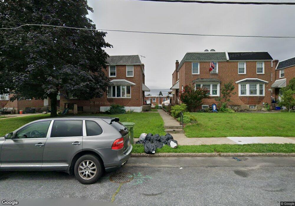
2023 Napfle St Philadelphia, PA 19152
Rhawnhurst NeighborhoodEstimated Value: $288,000 - $330,000
--
Bed
--
Bath
1,060
Sq Ft
$293/Sq Ft
Est. Value
About This Home
This home is located at 2023 Napfle St, Philadelphia, PA 19152 and is currently estimated at $310,302, approximately $292 per square foot. 2023 Napfle St is a home located in Philadelphia County with nearby schools including Rhawnhurst School, Castor Gardens Middle School, and Northeast High School.
Ownership History
Date
Name
Owned For
Owner Type
Purchase Details
Closed on
Dec 10, 2001
Sold by
Peterson Robert J M and Peterson Jack M
Bought by
Spruill Gladys and Spruill Lisa
Current Estimated Value
Home Financials for this Owner
Home Financials are based on the most recent Mortgage that was taken out on this home.
Original Mortgage
$71,200
Outstanding Balance
$27,884
Interest Rate
6.6%
Estimated Equity
$282,418
Purchase Details
Closed on
Feb 11, 1996
Sold by
Peterson Jack M and Peterson Elsa F
Bought by
Peterson Jack M and Peterson Elsa F
Create a Home Valuation Report for This Property
The Home Valuation Report is an in-depth analysis detailing your home's value as well as a comparison with similar homes in the area
Home Values in the Area
Average Home Value in this Area
Purchase History
| Date | Buyer | Sale Price | Title Company |
|---|---|---|---|
| Spruill Gladys | $89,000 | -- | |
| Peterson Jack M | -- | -- |
Source: Public Records
Mortgage History
| Date | Status | Borrower | Loan Amount |
|---|---|---|---|
| Open | Spruill Gladys | $71,200 |
Source: Public Records
Tax History Compared to Growth
Tax History
| Year | Tax Paid | Tax Assessment Tax Assessment Total Assessment is a certain percentage of the fair market value that is determined by local assessors to be the total taxable value of land and additions on the property. | Land | Improvement |
|---|---|---|---|---|
| 2025 | $3,060 | $271,100 | $54,220 | $216,880 |
| 2024 | $3,060 | $271,100 | $54,220 | $216,880 |
| 2023 | $3,060 | $218,600 | $43,720 | $174,880 |
| 2022 | $1,953 | $173,600 | $43,720 | $129,880 |
| 2021 | $2,583 | $0 | $0 | $0 |
| 2020 | $2,583 | $0 | $0 | $0 |
| 2019 | $2,352 | $0 | $0 | $0 |
| 2018 | $1,786 | $0 | $0 | $0 |
| 2017 | $2,206 | $0 | $0 | $0 |
| 2016 | $1,786 | $0 | $0 | $0 |
| 2015 | $1,710 | $0 | $0 | $0 |
| 2014 | -- | $157,600 | $49,479 | $108,121 |
| 2012 | -- | $20,096 | $4,182 | $15,914 |
Source: Public Records
Map
Nearby Homes
- 2023 Hartel Ave
- 2120 Napfle St
- 1919 Lansing St
- 7815 Horrocks St
- 1834 Lansing St
- 7528 Loretto Ave
- 1826 Hartel Ave
- 1824 Afton St
- 1821 Afton St
- 1807 Napfle Ave
- 1858 Glendale Ave
- 1917 Griffith St
- 7414 Castor Ave
- 7912 14 Loretto Ave
- 2029 Loney St
- 2123 Loney St
- 1714 Afton St
- 1931 33 Rhawn St
- 7337 Shisler St
- 2301 Ripley St
- 2021 Napfle St
- 2025 Napfle St
- 2019 Napfle St
- 2027 Napfle St
- 2017 Napfle St
- 2026 Lansing St
- 2015 Napfle St
- 2024 Lansing St
- 2031 Napfle St
- 2022 Lansing St
- 2028 Lansing St
- 2030 Lansing St
- 2032 Lansing St
- 2013 Napfle St
- 2033 Napfle St
- 2020 Lansing St
- 2018 Lansing St
- 2034 Lansing St
- 2016 Lansing St
- 2011 Napfle St