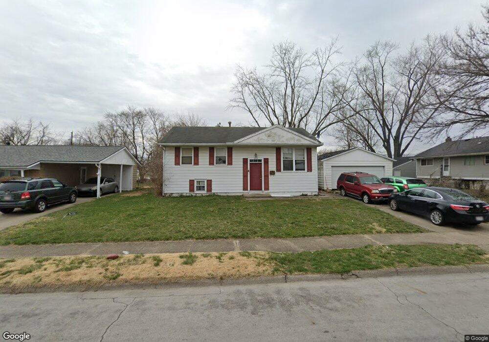
2023 Sturgeon St Springfield, OH 45506
Estimated Value: $138,000 - $158,000
3
Beds
1
Bath
1,399
Sq Ft
$107/Sq Ft
Est. Value
About This Home
This home is located at 2023 Sturgeon St, Springfield, OH 45506 and is currently estimated at $149,452, approximately $106 per square foot. 2023 Sturgeon St is a home located in Clark County with nearby schools including Perrin Woods Elementary School, Hayward Middle School, and Springfield High School.
Ownership History
Date
Name
Owned For
Owner Type
Purchase Details
Closed on
Jul 17, 2007
Sold by
Finnegan Walter J and Finnegan Mary E
Bought by
Gray Melissa
Current Estimated Value
Home Financials for this Owner
Home Financials are based on the most recent Mortgage that was taken out on this home.
Original Mortgage
$78,000
Outstanding Balance
$48,723
Interest Rate
6.76%
Mortgage Type
Purchase Money Mortgage
Estimated Equity
$100,729
Create a Home Valuation Report for This Property
The Home Valuation Report is an in-depth analysis detailing your home's value as well as a comparison with similar homes in the area
Home Values in the Area
Average Home Value in this Area
Purchase History
| Date | Buyer | Sale Price | Title Company |
|---|---|---|---|
| Gray Melissa | $78,000 | Partners Land Title Agency |
Source: Public Records
Mortgage History
| Date | Status | Borrower | Loan Amount |
|---|---|---|---|
| Open | Gray Melissa | $78,000 |
Source: Public Records
Tax History
| Year | Tax Paid | Tax Assessment Tax Assessment Total Assessment is a certain percentage of the fair market value that is determined by local assessors to be the total taxable value of land and additions on the property. | Land | Improvement |
|---|---|---|---|---|
| 2025 | $1,526 | $40,570 | $5,500 | $35,070 |
| 2024 | $1,486 | $30,840 | $4,680 | $26,160 |
| 2023 | $1,486 | $30,840 | $4,680 | $26,160 |
| 2022 | $1,522 | $30,840 | $4,680 | $26,160 |
| 2021 | $1,187 | $22,200 | $3,730 | $18,470 |
| 2020 | $1,190 | $22,200 | $3,730 | $18,470 |
| 2019 | $1,193 | $22,200 | $3,730 | $18,470 |
| 2018 | $1,238 | $22,130 | $3,060 | $19,070 |
| 2017 | $1,237 | $24,101 | $3,059 | $21,042 |
| 2016 | $1,238 | $24,101 | $3,059 | $21,042 |
| 2015 | $1,373 | $23,345 | $3,059 | $20,286 |
| 2014 | $1,367 | $23,345 | $3,059 | $20,286 |
| 2013 | $1,352 | $23,345 | $3,059 | $20,286 |
Source: Public Records
Map
Nearby Homes
- 1730 Damascus Ave
- 518 Hazelbrook Ave
- 1619 S Center Blvd
- 1754 S Fountain Ave
- 550 W Parkwood Ave
- 2000 Springmont Ave
- 1920 Russell Ave
- 2140 Shawnee Ave
- 1355 S Fountain Ave
- 405 W Southern Ave
- 0 W Perrin Ave Unit 1043508
- 0 W Perrin Ave Unit 951292
- 2252 Ontario Ave
- 506 W Southern Ave
- 311 W Grand Ave
- 1417 Clifton Ave Unit 1419
- 1823 Clay St
- 326 W Grand Ave
- 1820 Clay St
- 1301-1303 Clifton Ave
- 2031 Sturgeon St
- 347 Monaco Dr
- 2020 Bostic St
- 2028 Bostic St
- 2039 Sturgeon St
- 401 Monaco Dr
- 2022 Sturgeon St
- 2032 Sturgeon St
- 2038 Bostic St
- 346 Monaco Dr
- 2045 Sturgeon St
- 2040 Sturgeon St
- 2044 Bostic St
- 2008 Sturgeon St
- 400 Monaco Dr
- 318 Delcourt Dr
- 1965 Sturgeon St
- 2051 Sturgeon St
- 2021 Bostic St
- 421 Monaco Dr
Your Personal Tour Guide
Ask me questions while you tour the home.