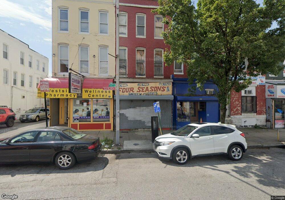
2023 W Pratt St Baltimore, MD 21223
Carrollton Ridge Neighborhood
--
Bed
--
Bath
2,476
Sq Ft
1,307
Sq Ft Lot
About This Home
This home is located at 2023 W Pratt St, Baltimore, MD 21223. 2023 W Pratt St is a home located in Baltimore City with nearby schools including Booker T. Washington Middle School, Edmondson Westside High School, and Frederick Douglass High School.
Ownership History
Date
Name
Owned For
Owner Type
Purchase Details
Closed on
Aug 19, 2024
Sold by
Armstrong & Galveston Llc
Bought by
Quander Douglas
Purchase Details
Closed on
Nov 20, 2023
Sold by
2015 Reo Llc
Bought by
Armstrong and Galveston Lax
Purchase Details
Closed on
Nov 7, 2023
Sold by
Moiseyev Michael
Bought by
2015 Reo Llc
Create a Home Valuation Report for This Property
The Home Valuation Report is an in-depth analysis detailing your home's value as well as a comparison with similar homes in the area
Home Values in the Area
Average Home Value in this Area
Purchase History
| Date | Buyer | Sale Price | Title Company |
|---|---|---|---|
| Quander Douglas | $27,500 | Lakeside Title | |
| Quander Douglas | $27,500 | Lakeside Title | |
| Armstrong | $42,533 | Custom Title Services | |
| Armstrong | $42,533 | Custom Title Services | |
| 2015 Reo Llc | $10,800 | Custom Title Services | |
| 2015 Reo Llc | $10,800 | Custom Title Services |
Source: Public Records
Tax History Compared to Growth
Tax History
| Year | Tax Paid | Tax Assessment Tax Assessment Total Assessment is a certain percentage of the fair market value that is determined by local assessors to be the total taxable value of land and additions on the property. | Land | Improvement |
|---|---|---|---|---|
| 2025 | $1,011 | $45,367 | -- | -- |
| 2024 | $1,011 | $43,033 | $0 | $0 |
| 2023 | $956 | $40,700 | $9,600 | $31,100 |
| 2022 | $961 | $40,700 | $9,600 | $31,100 |
| 2021 | $961 | $40,700 | $9,600 | $31,100 |
| 2020 | $1,043 | $48,900 | $9,600 | $39,300 |
| 2019 | $1,037 | $48,900 | $9,600 | $39,300 |
| 2018 | $480 | $48,900 | $9,600 | $39,300 |
| 2017 | $1,073 | $49,100 | $0 | $0 |
| 2016 | $1,277 | $47,400 | $0 | $0 |
| 2015 | $1,277 | $45,700 | $0 | $0 |
| 2014 | $1,277 | $44,000 | $0 | $0 |
Source: Public Records
Map
Nearby Homes
- 2001 W Pratt St
- 202 Harmison St
- 1933 W Pratt St
- 1931 W Pratt St
- 207 S Pulaski St
- 302 S Payson St
- 2032 W Pratt St
- 2011 Mchenry St
- 103 S Payson St
- 1917 Lemmon St
- 101 S Payson St
- 318 S Payson St
- 328 S Payson St
- 338 S Payson St
- 346 S Payson St
- 341 S Payson St
- 1910 Ramsay St
- 2112 Wilhelm St
- 1928 Frederick Ave
- 320 S Pulaski St
- 2025 W Pratt St
- 2021 W Pratt St
- 2029 W Pratt St
- 2019 W Pratt St
- 2031 W Pratt St
- 2017 W Pratt St
- 200 Harmison St
- 2033 W Pratt St
- 2015 W Pratt St
- 204 Harmison St
- 2013 W Pratt St
- 2013 W Pratt St
- 201 Harmison St
- 206 Harmison St
- 2011 W Pratt St
- 203 Harmison St
- 201 S Pulaski St
- 2039 W Pratt St
- 208 Harmison St
- 205 Harmison St