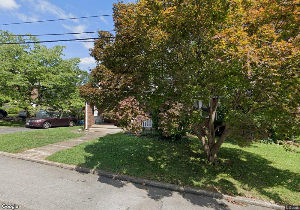
2023 York Rd SW Roanoke, VA 24015
Raleigh Court NeighborhoodEstimated Value: $281,000 - $347,000
3
Beds
2
Baths
972
Sq Ft
$332/Sq Ft
Est. Value
About This Home
This home is located at 2023 York Rd SW, Roanoke, VA 24015 and is currently estimated at $323,183, approximately $332 per square foot. 2023 York Rd SW is a home located in Roanoke City with nearby schools including Grandin Court Elementary School, Woodrow Wilson Middle School, and Patrick Henry High School.
Ownership History
Date
Name
Owned For
Owner Type
Purchase Details
Closed on
Aug 14, 2006
Sold by
Saunders Elizabeth Sue
Bought by
Keffer Shelley B and Stinson Edward F
Current Estimated Value
Home Financials for this Owner
Home Financials are based on the most recent Mortgage that was taken out on this home.
Original Mortgage
$134,400
Outstanding Balance
$80,867
Interest Rate
6.8%
Mortgage Type
New Conventional
Estimated Equity
$242,316
Create a Home Valuation Report for This Property
The Home Valuation Report is an in-depth analysis detailing your home's value as well as a comparison with similar homes in the area
Home Values in the Area
Average Home Value in this Area
Purchase History
| Date | Buyer | Sale Price | Title Company |
|---|---|---|---|
| Keffer Shelley B | $168,000 | None Available |
Source: Public Records
Mortgage History
| Date | Status | Borrower | Loan Amount |
|---|---|---|---|
| Open | Keffer Shelley B | $134,400 |
Source: Public Records
Tax History Compared to Growth
Tax History
| Year | Tax Paid | Tax Assessment Tax Assessment Total Assessment is a certain percentage of the fair market value that is determined by local assessors to be the total taxable value of land and additions on the property. | Land | Improvement |
|---|---|---|---|---|
| 2025 | $3,662 | $284,100 | $52,100 | $232,000 |
| 2024 | $3,662 | $245,500 | $46,900 | $198,600 |
| 2023 | $3,185 | $242,400 | $44,000 | $198,400 |
| 2022 | $2,870 | $221,100 | $37,000 | $184,100 |
| 2021 | $2,467 | $202,200 | $32,200 | $170,000 |
| 2020 | $2,512 | $193,600 | $30,700 | $162,900 |
| 2019 | $2,503 | $192,900 | $30,700 | $162,200 |
| 2018 | $2,444 | $188,000 | $30,700 | $157,300 |
| 2017 | $2,306 | $184,600 | $30,700 | $153,900 |
| 2016 | $2,259 | $180,700 | $30,700 | $150,000 |
| 2015 | $1,709 | $161,200 | $30,700 | $130,500 |
| 2014 | $1,709 | $146,500 | $30,700 | $0 |
Source: Public Records
Map
Nearby Homes
- 2117 Brandon Ave SW
- 2414 Fairway Dr SW
- 1842 Carlton Rd SW
- 2324 Howard Rd SW
- 1932 Carlton Rd SW
- 2603 Fairway Dr SW
- 2604 Fairway Dr SW
- 1930 Grandin Rd SW
- 1923 Brandon Ave SW
- 1918 Langdon Rd SW
- 2334 Maiden Ln SW
- 2401 Maiden Ln SW
- 2622 Edgewood St SW
- 2220 Westover Ave SW
- 2530 Maiden Ln SW
- 2106 Westover Ave SW
- 2529 Tillett Rd SW
- 2046 Westover Ave SW
- 1656 Brandon Ave SW
- 2457 Lofton Rd SW
- 2301 Laburnum Ave SW
- 2314 Brandon Ave SW
- 2026 York Rd SW
- 2022 York Rd SW
- 2318 Brandon Ave SW
- 2030 York Rd SW
- 2018 York Rd SW
- 2308 Brandon Ave SW
- 2036 York Rd SW
- 2302 Brandon Ave SW
- 2322 Brandon Ave SW
- 2315 Laburnum Ave SW
- 2304 Laburnum Ave SW
- 2238 Brandon Ave SW
- 2014 York Rd SW
- 2326 Brandon Ave SW
- 2236 Brandon Ave SW
- 2319 Laburnum Ave SW
- 2104 York Rd SW
- 2308 Laburnum Ave SW