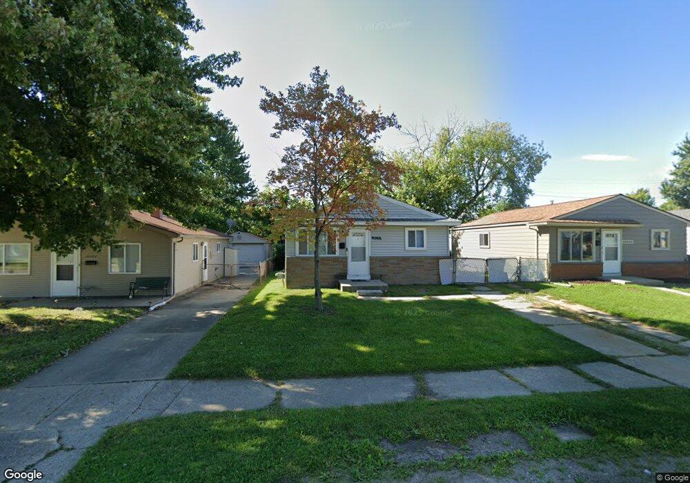
20230 Abrahm St Clinton Township, MI 48035
Estimated Value: $124,000 - $152,000
--
Bed
--
Bath
864
Sq Ft
$164/Sq Ft
Est. Value
About This Home
This home is located at 20230 Abrahm St, Clinton Township, MI 48035 and is currently estimated at $141,854, approximately $164 per square foot. 20230 Abrahm St is a home located in Macomb County with nearby schools including Clintondale High School and St. Thecla Catholic School.
Ownership History
Date
Name
Owned For
Owner Type
Purchase Details
Closed on
May 7, 2007
Sold by
Hud
Bought by
Badour Christina and Badour Dennis
Current Estimated Value
Purchase Details
Closed on
Jan 25, 2006
Sold by
National City Mortgage Inc
Bought by
Hud
Purchase Details
Closed on
Jul 22, 2005
Sold by
Bielewski Ronald A
Bought by
National City Mortgage and National City Mortgage Co
Create a Home Valuation Report for This Property
The Home Valuation Report is an in-depth analysis detailing your home's value as well as a comparison with similar homes in the area
Home Values in the Area
Average Home Value in this Area
Purchase History
| Date | Buyer | Sale Price | Title Company |
|---|---|---|---|
| Badour Christina | $66,000 | None Available | |
| Hud | -- | None Available | |
| National City Mortgage | $96,745 | -- |
Source: Public Records
Tax History Compared to Growth
Tax History
| Year | Tax Paid | Tax Assessment Tax Assessment Total Assessment is a certain percentage of the fair market value that is determined by local assessors to be the total taxable value of land and additions on the property. | Land | Improvement |
|---|---|---|---|---|
| 2025 | $1,854 | $64,900 | $0 | $0 |
| 2024 | $1,319 | $60,300 | $0 | $0 |
| 2023 | $1,254 | $55,100 | $0 | $0 |
| 2022 | $1,672 | $49,200 | $0 | $0 |
| 2021 | $1,624 | $45,700 | $0 | $0 |
| 2020 | $1,136 | $41,600 | $0 | $0 |
| 2019 | $1,522 | $34,700 | $0 | $0 |
| 2018 | $1,488 | $30,000 | $0 | $0 |
| 2017 | $1,470 | $26,600 | $5,500 | $21,100 |
| 2016 | $1,461 | $26,600 | $0 | $0 |
| 2015 | -- | $23,700 | $0 | $0 |
| 2014 | -- | $21,800 | $0 | $0 |
| 2011 | -- | $31,200 | $8,500 | $22,700 |
Source: Public Records
Map
Nearby Homes
- 20309 Abrahm St
- 20174 Abrahm St
- 20410 Woodward St
- 20176 15 Mile Rd
- 20011 Abrahm St
- 20550 Vermander Ave
- 0000 Garfield
- 35403 Seville St
- 19793 Electra St
- 19851 Kemp St
- 34606 Beaconsfield St
- 34559 Chope Place
- 35501 Griswald St
- 20975 Catalano St
- 34029 Little MacK Ave
- 34161 Beaconsfield St
- 20219 Finley St
- 21132 Woodward St
- 21156 Woodward St
- 35685 Griswald St
- 20238 Abrahm St
- 20246 Abrahm St
- 20214 Abrahm St
- 20237 Vermander Ave
- 20223 Vermander Ave Unit Bldg-Unit
- 20223 Vermander Ave
- 20206 Abrahm St
- 20254 Abrahm St
- 20215 Vermander Ave
- 20243 Abrahm St
- 20239 Abrahm St
- 20235 Abrahm St
- 20198 Abrahm St
- 20262 Abrahm St
- 20205 Vermander Ave
- 20231 Abrahm St
- 20263 Vermander Ave
- 20227 Abrahm St
- 20223 Abrahm St
- 20197 Vermander Ave