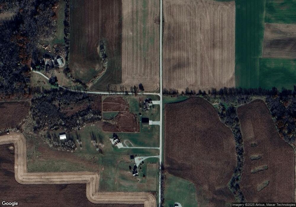
20233 Pigeon Rd Morrison, IL 61270
Estimated Value: $208,202 - $316,000
Studio
--
Bath
--
Sq Ft
2
Acres
About This Home
This home is located at 20233 Pigeon Rd, Morrison, IL 61270 and is currently estimated at $245,301. 20233 Pigeon Rd is a home located in Whiteside County with nearby schools including Northside School, Southside School, and Morrison Junior High School.
Ownership History
Date
Name
Owned For
Owner Type
Purchase Details
Closed on
Nov 24, 2009
Sold by
Levin Lorena L and Levin Philip D
Bought by
Wiersema Eric S and Wiersema Lisa M
Current Estimated Value
Home Financials for this Owner
Home Financials are based on the most recent Mortgage that was taken out on this home.
Original Mortgage
$14,500
Interest Rate
4.95%
Mortgage Type
Future Advance Clause Open End Mortgage
Purchase Details
Closed on
May 1, 2003
Bought by
Wiersema Eric S
Create a Home Valuation Report for This Property
The Home Valuation Report is an in-depth analysis detailing your home's value as well as a comparison with similar homes in the area
Purchase History
| Date | Buyer | Sale Price | Title Company |
|---|---|---|---|
| Wiersema Eric S | $17,500 | None Available | |
| Wiersema Eric S | $9,000 | -- |
Source: Public Records
Mortgage History
| Date | Status | Borrower | Loan Amount |
|---|---|---|---|
| Closed | Wiersema Eric S | $14,500 |
Source: Public Records
Tax History Compared to Growth
Tax History
| Year | Tax Paid | Tax Assessment Tax Assessment Total Assessment is a certain percentage of the fair market value that is determined by local assessors to be the total taxable value of land and additions on the property. | Land | Improvement |
|---|---|---|---|---|
| 2024 | $4,175 | $61,262 | $5,038 | $56,224 |
| 2023 | $4,092 | $58,780 | $4,335 | $54,445 |
| 2022 | $3,913 | $55,694 | $4,107 | $51,587 |
| 2021 | $3,776 | $53,769 | $3,965 | $49,804 |
| 2020 | $3,672 | $51,930 | $3,829 | $48,101 |
| 2019 | $3,780 | $52,582 | $3,877 | $48,705 |
| 2018 | $3,836 | $51,360 | $3,787 | $47,573 |
| 2017 | $3,675 | $50,263 | $4,013 | $46,250 |
| 2016 | $3,560 | $48,723 | $3,890 | $44,833 |
| 2015 | $3,939 | $51,837 | $4,119 | $47,718 |
| 2014 | $3,777 | $49,945 | $3,969 | $45,976 |
| 2013 | $3,939 | $51,837 | $4,119 | $47,718 |
Source: Public Records
Map
Nearby Homes
- 18250 Malvern Rd
- 18683 Malvern Rd
- 0 Capp Rd
- 0 Yorktown Rd Unit NOC6334347
- 0 Yorktown Rd Unit NOC6334348
- 0 Yorktown Rd Unit NOC6334345
- 0 Yorktown Rd Unit NOC6334350
- 0 Crosby Rd Unit 24279391
- 0 Blue Goose Rd
- 15344 Norrish Rd
- 16360 Spring Valley Rd
- 000 Sawyer & Wayne Rd
- TBD Hilltop Dr
- 203 N Main
- 404 N Main
- 516 Christopher St
- 805 Keith Dr
- 602 Glenwood Dr
- 518 Barden St
- 523 Barden St