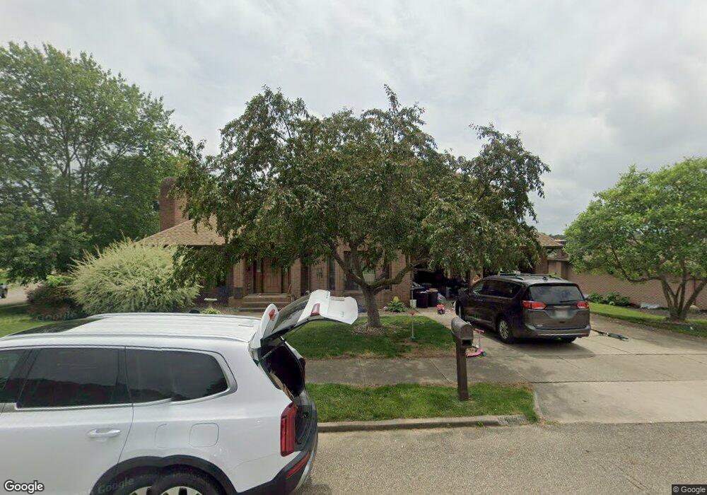
2024 Buckeye St NE New Philadelphia, OH 44663
Estimated Value: $288,000 - $432,000
3
Beds
2
Baths
2,124
Sq Ft
$177/Sq Ft
Est. Value
About This Home
This home is located at 2024 Buckeye St NE, New Philadelphia, OH 44663 and is currently estimated at $375,783, approximately $176 per square foot. 2024 Buckeye St NE is a home located in Tuscarawas County with nearby schools including New Philadelphia High School, Quaker Preparatory Academy, and Quaker Digital Academy.
Ownership History
Date
Name
Owned For
Owner Type
Purchase Details
Closed on
Feb 5, 2021
Sold by
Milburn Jerry D and Milburn Karen E
Bought by
Skipper Janay and Skipper Tyler
Current Estimated Value
Home Financials for this Owner
Home Financials are based on the most recent Mortgage that was taken out on this home.
Original Mortgage
$269,000
Outstanding Balance
$240,591
Interest Rate
2.7%
Mortgage Type
Seller Take Back
Estimated Equity
$135,192
Purchase Details
Closed on
May 24, 1990
Bought by
Milburn Jerry D and Milburn Karen E
Create a Home Valuation Report for This Property
The Home Valuation Report is an in-depth analysis detailing your home's value as well as a comparison with similar homes in the area
Home Values in the Area
Average Home Value in this Area
Purchase History
| Date | Buyer | Sale Price | Title Company |
|---|---|---|---|
| Skipper Janay | $279,000 | None Available | |
| Milburn Jerry D | $22,000 | -- |
Source: Public Records
Mortgage History
| Date | Status | Borrower | Loan Amount |
|---|---|---|---|
| Open | Skipper Janay | $269,000 |
Source: Public Records
Tax History Compared to Growth
Tax History
| Year | Tax Paid | Tax Assessment Tax Assessment Total Assessment is a certain percentage of the fair market value that is determined by local assessors to be the total taxable value of land and additions on the property. | Land | Improvement |
|---|---|---|---|---|
| 2024 | $4,771 | $121,220 | $16,130 | $105,090 |
| 2023 | $4,771 | $346,350 | $46,090 | $300,260 |
| 2022 | $4,798 | $121,223 | $16,132 | $105,091 |
| 2021 | $4,252 | $101,126 | $13,853 | $87,273 |
| 2020 | $3,819 | $101,126 | $13,853 | $87,273 |
| 2019 | $3,816 | $101,126 | $13,853 | $87,273 |
| 2018 | $3,473 | $88,320 | $12,100 | $76,220 |
| 2017 | $3,416 | $88,320 | $12,100 | $76,220 |
| 2016 | $3,508 | $88,320 | $12,100 | $76,220 |
| 2014 | $3,716 | $80,200 | $9,860 | $70,340 |
| 2013 | $3,072 | $80,200 | $9,860 | $70,340 |
Source: Public Records
Map
Nearby Homes
- 2006 Buckeye St NE
- 973 Baltzley Valley Rd SE
- 247 Kent Cir NE
- 377 Schoenbrunn Dr NE
- 221 Sea Gull Dr SE
- 2709 Backwater Rd SE
- 1734 Barnhill Rd
- 4711 Broadway
- 427 Sycamore Cir SE
- 1273 Concord Cir SE
- 2923 Brightwood Rd SE
- 0 Royal St
- 231 4th St SE
- 451 Mill Ave SE
- 1451 Ridge Rd NE
- 1354 Independence Cir SE
- 0 Vernon St Unit 5009296
- 1149 Jefferson St SE
- 2993 Brightwood Rd SE
- 1577 State Route 39 NE
- 2016 Buckeye St NE
- 2121 Denise Dr NE
- 2104 Buckeye St NE
- 2131 Denise Dr NE
- 2118 Kevin Ct NE
- 2026 Kevin Ct NE
- 2025 Kevin Ct NE
- 2139 Denise Dr NE
- 2007 Buckeye St NE
- 1985 Buckeye St NE
- 2124 Kevin Ct NE
- 0 Buckeye St NE
- 2115 Buckeye St NE
- 2018 Kevin Ct NE
- 2149 Denise Dr NE
- 1987 Buckeye St NE
- 2126 Buckeye St NE
- 1980 Buckeye St NE
- 2124 Denise Dr NE
- 2114 Denise Dr NE