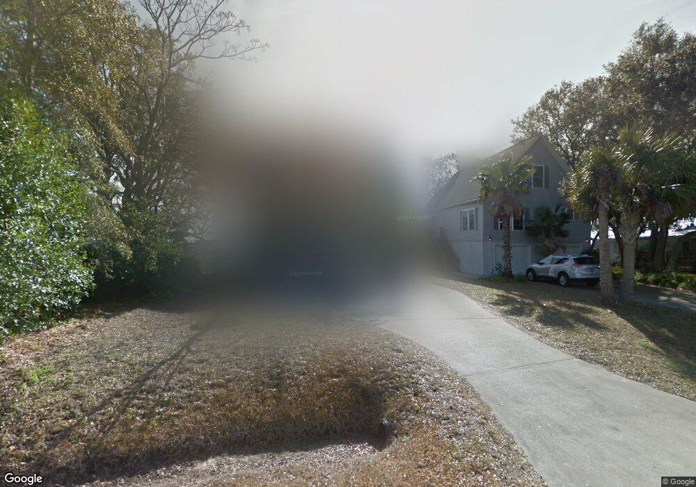
2024 Covey Ln Charleston, SC 29412
James Island NeighborhoodEstimated Value: $429,000 - $661,000
4
Beds
3
Baths
2,028
Sq Ft
$287/Sq Ft
Est. Value
About This Home
This home is located at 2024 Covey Ln, Charleston, SC 29412 and is currently estimated at $582,608, approximately $287 per square foot. 2024 Covey Ln is a home located in Charleston County with nearby schools including James Island Elementary School, Camp Road Middle, and Septima P Clark Corporate Academy.
Ownership History
Date
Name
Owned For
Owner Type
Purchase Details
Closed on
Jun 18, 2014
Sold by
Cosper C Kyle
Bought by
Kittrell Behren E
Current Estimated Value
Home Financials for this Owner
Home Financials are based on the most recent Mortgage that was taken out on this home.
Original Mortgage
$268,350
Outstanding Balance
$204,036
Interest Rate
4.19%
Mortgage Type
New Conventional
Estimated Equity
$378,572
Purchase Details
Closed on
Jan 11, 2001
Sold by
Seagrass Inc
Bought by
Kittrell Behren E and Kyle Cosper C
Purchase Details
Closed on
Aug 25, 2000
Sold by
Koch Robert D and Koch Gail E
Bought by
Seagrass Inc
Create a Home Valuation Report for This Property
The Home Valuation Report is an in-depth analysis detailing your home's value as well as a comparison with similar homes in the area
Home Values in the Area
Average Home Value in this Area
Purchase History
| Date | Buyer | Sale Price | Title Company |
|---|---|---|---|
| Kittrell Behren E | -- | -- | |
| Kittrell Behren E | $119,000 | -- | |
| Seagrass Inc | $86,000 | -- |
Source: Public Records
Mortgage History
| Date | Status | Borrower | Loan Amount |
|---|---|---|---|
| Open | Kittrell Behren E | $268,350 |
Source: Public Records
Tax History Compared to Growth
Tax History
| Year | Tax Paid | Tax Assessment Tax Assessment Total Assessment is a certain percentage of the fair market value that is determined by local assessors to be the total taxable value of land and additions on the property. | Land | Improvement |
|---|---|---|---|---|
| 2024 | $1,735 | $10,440 | $0 | $0 |
| 2023 | $1,735 | $10,440 | $0 | $0 |
| 2022 | $1,593 | $10,440 | $0 | $0 |
| 2021 | $1,638 | $10,440 | $0 | $0 |
| 2020 | $1,627 | $10,440 | $0 | $0 |
| 2019 | $1,523 | $9,080 | $0 | $0 |
| 2017 | $1,425 | $9,080 | $0 | $0 |
| 2016 | $1,371 | $9,080 | $0 | $0 |
| 2015 | $1,369 | $9,080 | $0 | $0 |
| 2014 | $1,600 | $0 | $0 | $0 |
| 2011 | -- | $0 | $0 | $0 |
Source: Public Records
Map
Nearby Homes
- 129 Howard Mary Dr Unit A
- 1624 Wigeon Ln
- 118 Howard Mary Dr Unit 118B
- 1984 Folly Rd Unit A307
- 1984 Folly Rd Unit A314
- 1984 Folly Rd Unit A202
- 1617 Refuge Run
- 1588 Terns Nest Rd
- 133 Alder Cir
- 117 Alder Cir
- 1621 Folly Creek Way Unit D8
- 1011 Lighterman Way
- 1637 Folly Creek Way Unit E12
- 1106 Studdingsail Ln
- 2133 Tides End Rd
- 1109 Studdingsail Ln
- 1821 Folly Rd
- 960 Clearspring Dr
- 1144 Clearspring Dr
- 1447 Fort Lamar Rd