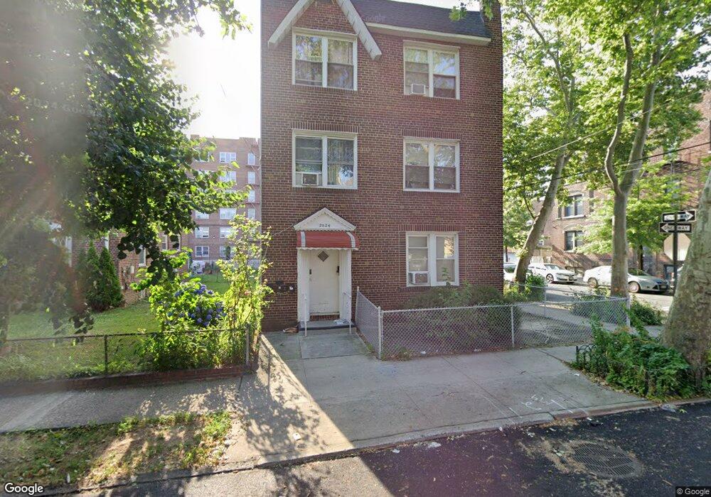
2024 Hobart Ave Bronx, NY 10461
Middletown-Pelham Bay NeighborhoodEstimated Value: $1,089,000 - $1,326,982
--
Bed
--
Bath
3,825
Sq Ft
$327/Sq Ft
Est. Value
About This Home
This home is located at 2024 Hobart Ave, Bronx, NY 10461 and is currently estimated at $1,251,246, approximately $327 per square foot. 2024 Hobart Ave is a home located in Bronx County with nearby schools including P.S. 71 Rose E Scala, Herbert H Lehman High School, and Icahn Charter School 3.
Ownership History
Date
Name
Owned For
Owner Type
Purchase Details
Closed on
Nov 18, 2019
Sold by
Bartholemew M Lamonica Irrevocable Trus
Bought by
Wang Neng Liang
Current Estimated Value
Home Financials for this Owner
Home Financials are based on the most recent Mortgage that was taken out on this home.
Original Mortgage
$727,500
Outstanding Balance
$638,730
Interest Rate
3.5%
Mortgage Type
Purchase Money Mortgage
Estimated Equity
$612,516
Purchase Details
Closed on
Apr 13, 2010
Sold by
Lamonica Bartholemew and Lamonica Dorothy
Bought by
John J Lamonica As Trustee and Susan D Lamonica, As Trustee
Create a Home Valuation Report for This Property
The Home Valuation Report is an in-depth analysis detailing your home's value as well as a comparison with similar homes in the area
Home Values in the Area
Average Home Value in this Area
Purchase History
| Date | Buyer | Sale Price | Title Company |
|---|---|---|---|
| Wang Neng Liang | $1,065,000 | -- | |
| John J Lamonica As Trustee | -- | -- |
Source: Public Records
Mortgage History
| Date | Status | Borrower | Loan Amount |
|---|---|---|---|
| Open | Wang Neng Liang | $727,500 |
Source: Public Records
Tax History Compared to Growth
Tax History
| Year | Tax Paid | Tax Assessment Tax Assessment Total Assessment is a certain percentage of the fair market value that is determined by local assessors to be the total taxable value of land and additions on the property. | Land | Improvement |
|---|---|---|---|---|
| 2025 | $9,978 | $51,840 | $6,758 | $45,082 |
| 2024 | $9,978 | $49,680 | $7,718 | $41,962 |
| 2023 | $9,541 | $46,978 | $7,251 | $39,727 |
| 2022 | $9,141 | $63,900 | $10,020 | $53,880 |
| 2021 | $9,091 | $59,880 | $10,020 | $49,860 |
| 2020 | $9,144 | $54,780 | $10,020 | $44,760 |
| 2019 | $6,997 | $50,460 | $10,020 | $40,440 |
| 2018 | $3,192 | $39,148 | $8,694 | $30,454 |
| 2017 | $6,545 | $38,160 | $9,052 | $29,108 |
| 2016 | $3,346 | $36,000 | $10,020 | $25,980 |
| 2015 | $2,017 | $36,432 | $10,515 | $25,917 |
| 2014 | $2,017 | $34,500 | $11,100 | $23,400 |
Source: Public Records
Map
Nearby Homes
- 2010 Hobart Ave
- 2032 Hobart Ave
- 2871 E 194th St
- 2024 Continental Ave
- 1959B Edison Ave
- 2015 Saint Paul Ave Unit 6B
- 2015 St Paul Ave Unit 3G
- 2015 Saint Paul Ave Unit 3H
- 1950 Pilgrim Ave
- 1932 Pilgrim Ave
- 1874 Pelham Pkwy S Unit 6E
- 1874 Pelham Pkwy S Unit 6M
- 1874 Pelham Pkwy S Unit 4R
- 2884 Saint Theresa Ave
- 1926 Hutchinson River Pkwy E Unit E
- 1910 Pelham Pkwy S Unit 5C
- 1815 Mahan Ave
- 1865 Mulford Ave
- 1836 Mulford Ave
- 3036 Buhre Ave
- 2028 Hobart Ave
- 2924 E 194th St
- 2012 Hobart Ave
- 2930 E 194th St
- 2930 E 194 St
- 2010 Hobart Ave Unit 1
- 2010 Hobart Ave
- 2025 Continental Ave
- 2037 Continental Ave
- 2036 Hobart Ave
- 2932 E 194th St
- 2025 Hobart Ave
- 2008 Hobart Ave
- 2027 Hobart Ave
- 2039 Continental Ave
- 2031 Hobart Ave
- 2031 Hobart Ave Unit 2
- 2019 Hobart Ave
- 2038 Hobart Ave
- 2038 Hobart Ave Unit 1