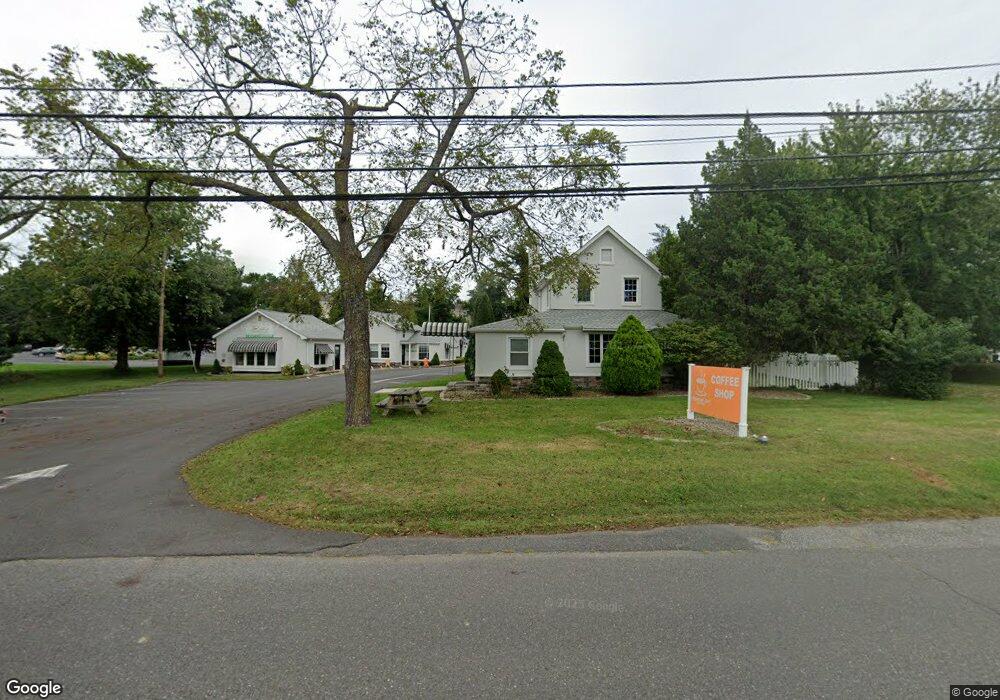
2024 New Bedford Rd Unit 1A Spring Lake, NJ 07762
Estimated Value: $2,225,656
--
Bed
--
Bath
1,765
Sq Ft
$1,261/Sq Ft
Est. Value
About This Home
This home is located at 2024 New Bedford Rd Unit 1A, Spring Lake, NJ 07762 and is currently estimated at $2,225,656, approximately $1,260 per square foot. 2024 New Bedford Rd Unit 1A is a home located in Monmouth County with nearby schools including Wall High School and The Brookside School.
Ownership History
Date
Name
Owned For
Owner Type
Purchase Details
Closed on
Oct 5, 2021
Sold by
Giordano Domenica
Bought by
Daddys Place Management Llc
Current Estimated Value
Purchase Details
Closed on
Nov 16, 2004
Sold by
2024 New Bedford Rd Assoc Llc
Bought by
Giordano John and Giordano Domenica
Purchase Details
Closed on
Feb 16, 1999
Sold by
Smith Howard
Bought by
2024 New Bedford Rd Assoc
Home Financials for this Owner
Home Financials are based on the most recent Mortgage that was taken out on this home.
Original Mortgage
$255,000
Interest Rate
7.65%
Mortgage Type
Commercial
Create a Home Valuation Report for This Property
The Home Valuation Report is an in-depth analysis detailing your home's value as well as a comparison with similar homes in the area
Home Values in the Area
Average Home Value in this Area
Purchase History
| Date | Buyer | Sale Price | Title Company |
|---|---|---|---|
| Daddys Place Management Llc | -- | None Available | |
| Giordano John | $1,150,000 | -- | |
| 2024 New Bedford Rd Assoc | $430,000 | -- |
Source: Public Records
Mortgage History
| Date | Status | Borrower | Loan Amount |
|---|---|---|---|
| Previous Owner | 2024 New Bedford Rd Assoc | $255,000 |
Source: Public Records
Tax History Compared to Growth
Tax History
| Year | Tax Paid | Tax Assessment Tax Assessment Total Assessment is a certain percentage of the fair market value that is determined by local assessors to be the total taxable value of land and additions on the property. | Land | Improvement |
|---|---|---|---|---|
| 2025 | $17,511 | $829,900 | $385,600 | $444,300 |
| 2024 | $16,988 | $829,900 | $385,600 | $444,300 |
| 2023 | $16,988 | $829,900 | $385,600 | $444,300 |
| 2022 | $16,573 | $829,900 | $385,600 | $444,300 |
| 2021 | $16,573 | $829,900 | $385,600 | $444,300 |
| 2020 | $16,374 | $829,900 | $385,600 | $444,300 |
| 2019 | $16,175 | $829,900 | $385,600 | $444,300 |
| 2018 | $16,034 | $829,900 | $385,600 | $444,300 |
| 2017 | $15,718 | $829,900 | $385,600 | $444,300 |
| 2016 | $15,386 | $829,900 | $385,600 | $444,300 |
| 2015 | $16,496 | $559,200 | $209,100 | $350,100 |
| 2014 | $15,862 | $550,000 | $199,900 | $350,100 |
Source: Public Records
Map
Nearby Homes
- 2005 Nassau Dr
- 1301 Warren Ave Unit 5
- 2217 Old Mill Rd
- 19 Willow Ln
- 817 Ocean Rd
- 1442 Garrett Dr
- 805 Jersey Ave
- 530 Highway 71 Unit 4
- 11 Tarpon Dr Unit 1001
- 24 Old Mill Ct
- 613 Warren Ave
- 2419 Kipling Ave
- 601 Central Ave
- 1838 Highway 35 Unit 36
- 2174 Begonia Ave
- 905 Wall Rd
- 513 Mercer Ave
- 1826 New Bedford Rd
- 418 Salem Ave
- 418 Monmouth Ave
- 2024 New Bedford Rd
- 00 35
- 2027 New Bedford Rd
- 2032 New Bedford Rd
- 2031 New Bedford Rd
- 2033 New Bedford Rd
- 2012 State Route 35 Unit 12
- 2012 State Route 35 Unit 65
- 2012 State Route 35 Unit 52
- 2012 State Route 35 Unit 111
- 2012 State Route 35 Unit 118
- 2012 State Route 35 Unit 8
- 2012 State Route 35 Unit 1
- 2012 State Route 35 Unit 92
- 2012 State Route 35 Unit 57
- 2012 State Route 35 Unit 149
- 2012 State Route 35 Unit 110
- 2012 State Route 35 Unit 64
- 2012 State Route 35 Unit 39
- 2012 State Route 35 Unit 68