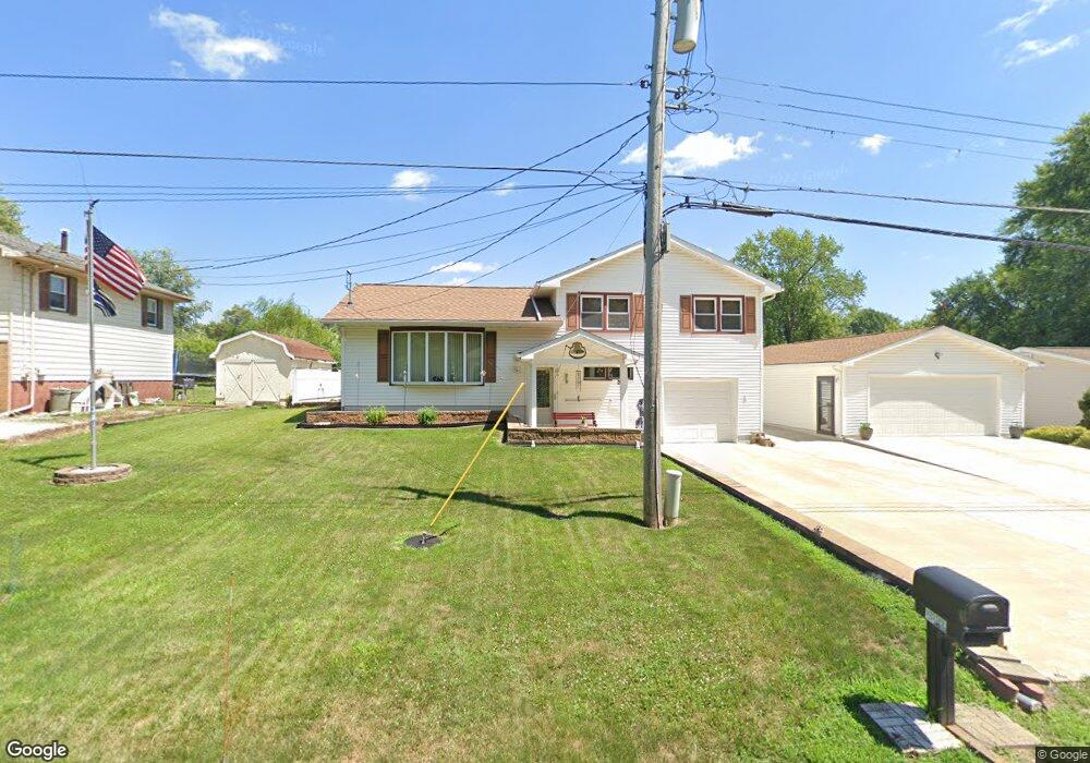
2024 Park Ave Peoria, IL 61604
Norwood NeighborhoodEstimated Value: $158,918 - $195,000
3
Beds
1
Bath
1,056
Sq Ft
$168/Sq Ft
Est. Value
About This Home
This home is located at 2024 Park Ave, Peoria, IL 61604 and is currently estimated at $176,980, approximately $167 per square foot. 2024 Park Ave is a home located in Peoria County with nearby schools including Norwood Primary School, Norwood Elementary School, and Limestone Community High School.
Ownership History
Date
Name
Owned For
Owner Type
Purchase Details
Closed on
Aug 6, 2024
Sold by
Hierman F Virginia
Bought by
Roe Erline
Current Estimated Value
Home Financials for this Owner
Home Financials are based on the most recent Mortgage that was taken out on this home.
Original Mortgage
$156,655
Outstanding Balance
$154,969
Interest Rate
7.13%
Mortgage Type
New Conventional
Estimated Equity
$22,011
Purchase Details
Closed on
May 19, 2023
Sold by
Hierman F Virginia
Bought by
Bronson Hierman F and Bronson Charles E
Create a Home Valuation Report for This Property
The Home Valuation Report is an in-depth analysis detailing your home's value as well as a comparison with similar homes in the area
Home Values in the Area
Average Home Value in this Area
Purchase History
| Date | Buyer | Sale Price | Title Company |
|---|---|---|---|
| Roe Erline | $165,000 | None Listed On Document | |
| Bronson Hierman F | -- | None Listed On Document |
Source: Public Records
Mortgage History
| Date | Status | Borrower | Loan Amount |
|---|---|---|---|
| Open | Roe Erline | $156,655 |
Source: Public Records
Tax History Compared to Growth
Tax History
| Year | Tax Paid | Tax Assessment Tax Assessment Total Assessment is a certain percentage of the fair market value that is determined by local assessors to be the total taxable value of land and additions on the property. | Land | Improvement |
|---|---|---|---|---|
| 2024 | -- | $40,640 | $5,430 | $35,210 |
| 2023 | -- | $36,950 | $4,940 | $32,010 |
| 2022 | $0 | $36,290 | $4,580 | $31,710 |
| 2021 | $1,571 | $34,890 | $4,400 | $30,490 |
| 2020 | $1,571 | $34,890 | $4,400 | $30,490 |
| 2019 | $1,571 | $34,890 | $4,400 | $30,490 |
| 2018 | $0 | $35,570 | $4,490 | $31,080 |
| 2017 | $1,456 | $36,290 | $4,580 | $31,710 |
| 2016 | $1,456 | $36,290 | $4,580 | $31,710 |
| 2015 | $1,456 | $34,890 | $4,400 | $30,490 |
| 2014 | $1,809 | $35,150 | $4,430 | $30,720 |
| 2013 | $1,571 | $34,810 | $4,390 | $30,420 |
Source: Public Records
Map
Nearby Homes
- 0 N Aspen Rd
- 1606 N Boyd Ave
- 7008 W Lamoine St
- 1121 N Wood Rd
- 0 N Range Rd
- 1118 N Country Ln
- 0000 W Farmington Rd
- 5900 W Deluxe Blvd Unit 72
- 0 N Limestone Ln
- 735 N Limestone Ln
- 213 N Eisele Dr
- 0000 W Southport Rd
- 4607 W Fernleaf Rd
- 4121 N Koerner Rd
- 7021 W Southport Rd
- Lot 13 S Cameron Ln
- 5910 W Fairview Rd
- 523 S Anna Ave
- 923 S Johanson Rd
- 3640 N Sandia Dr
- 2024 Park Ave
- 2030 Park Ave
- 2018 Park Ave
- 2011 N Aspen Rd
- 2017 N Aspen Rd
- 2010 Park Ave
- 2004 Park Ave
- 2104 Park Ave
- 2021 N Aspen Rd
- 1920 Park Ave
- 6426 W Beacon St
- 2109 N Dundee Rd
- 2014 N Aspen Rd
- N Aspen Rd
- 2113 N Dundee Rd
- 1924 N Aspen Rd
- 2037 N Aspen Rd
- 2115 N Dundee Rd
- 2049 N Norwood Blvd
- 1912 Park Ave