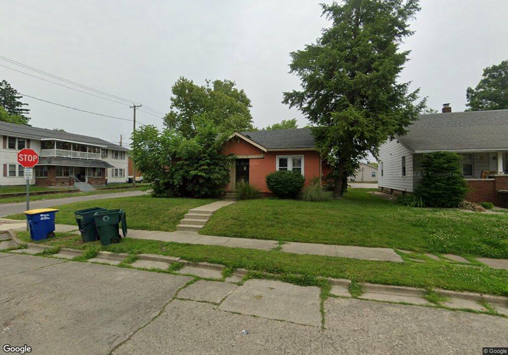
2024 W Main St Muncie, IN 47303
Westside NeighborhoodEstimated Value: $164,000 - $203,216
4
Beds
2
Baths
1,798
Sq Ft
$102/Sq Ft
Est. Value
About This Home
This home is located at 2024 W Main St, Muncie, IN 47303 and is currently estimated at $183,304, approximately $101 per square foot. 2024 W Main St is a home located in Delaware County with nearby schools including West View Elementary School, Muncie Central High School, and Northside Middle School.
Ownership History
Date
Name
Owned For
Owner Type
Purchase Details
Closed on
Jun 10, 2008
Sold by
Us Bank National Association
Bought by
Lejeune Jean A and Lejeune Jean T
Current Estimated Value
Purchase Details
Closed on
Jun 1, 2008
Sold by
Wells Fargo Bank Na
Bought by
Us Bank Na
Purchase Details
Closed on
Feb 6, 2008
Sold by
Wilber Russell M
Bought by
Wells Fargo Bank Na
Purchase Details
Closed on
Dec 15, 2005
Sold by
Deckard Cecil P and Deckard Betty E
Bought by
Wilber Russell M
Create a Home Valuation Report for This Property
The Home Valuation Report is an in-depth analysis detailing your home's value as well as a comparison with similar homes in the area
Home Values in the Area
Average Home Value in this Area
Purchase History
| Date | Buyer | Sale Price | Title Company |
|---|---|---|---|
| Lejeune Jean A | -- | None Available | |
| Us Bank Na | -- | None Available | |
| Wells Fargo Bank Na | $49,700 | None Available | |
| Wilber Russell M | -- | None Available |
Source: Public Records
Tax History Compared to Growth
Tax History
| Year | Tax Paid | Tax Assessment Tax Assessment Total Assessment is a certain percentage of the fair market value that is determined by local assessors to be the total taxable value of land and additions on the property. | Land | Improvement |
|---|---|---|---|---|
| 2024 | $2,718 | $177,300 | $16,600 | $160,700 |
| 2023 | $2,364 | $147,700 | $13,800 | $133,900 |
| 2022 | $2,271 | $141,600 | $13,800 | $127,800 |
| 2021 | $2,136 | $132,900 | $13,700 | $119,200 |
| 2020 | $1,816 | $111,900 | $12,400 | $99,500 |
| 2019 | $1,816 | $111,900 | $12,400 | $99,500 |
| 2018 | $1,813 | $111,700 | $12,400 | $99,300 |
| 2017 | $1,781 | $109,600 | $11,200 | $98,400 |
| 2016 | $1,702 | $104,400 | $10,700 | $93,700 |
| 2014 | $1,382 | $87,800 | $8,500 | $79,300 |
| 2013 | -- | $83,400 | $8,200 | $75,200 |
Source: Public Records
Map
Nearby Homes
- 312 S Nichols Ave
- 1602 W Adams St
- 1600 W Adams St
- 1616 W White River Blvd
- 512 S Talley Ave
- 216 S Dill St
- 519 S Talley Ave
- 409 S Celia Ave
- 801 S Brittain Ave Unit 8 SFAM Homes Total
- 1300 W University Ave
- 1004 N Meadow Ln
- 1319 W Kilgore Ave
- 520 N Alden Rd
- 223 N Riley Rd
- 207 N Winthrop Rd
- 1024 W Powers St
- 307 N Winthrop Rd
- 303 S Proud St
- 305 S Proud St
- 1308 N Woodridge Ave
- 2020 W Main St
- 2008 W Main St
- 2019 W Washington St
- 2006 W Main St
- 2104 W Main St
- 2015 W Washington St
- 2011 W Washington St
- 100 S Talley Ave
- 2015 W Main St
- 2004 W Main St
- 101 S Talley Ave
- 2106 W Main St
- 2007 W Washington St
- 2011 W Main St
- 2007 W Washington St
- 2009 W Main St
- 2005 W Washington St
- 2107 W Washington St
- 109 S Talley Ave
- 2005 W Main St