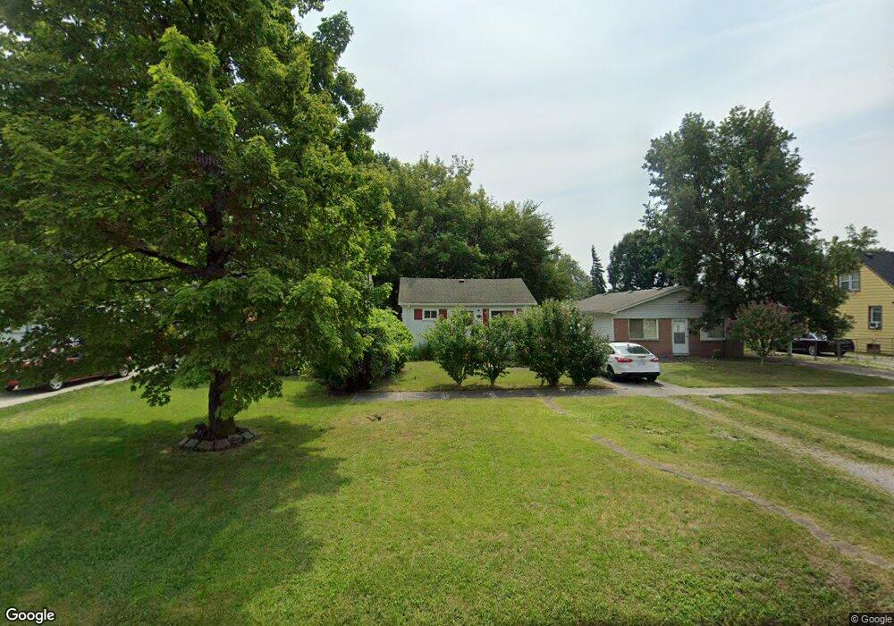
20247 Empire St Taylor, MI 48180
Estimated Value: $144,850 - $174,000
3
Beds
1
Bath
1,156
Sq Ft
$137/Sq Ft
Est. Value
About This Home
This home is located at 20247 Empire St, Taylor, MI 48180 and is currently estimated at $157,963, approximately $136 per square foot. 20247 Empire St is a home located in Wayne County with nearby schools including Kinyon Elementary School, Robert J. West Middle School, and Creative Montessori Academy.
Ownership History
Date
Name
Owned For
Owner Type
Purchase Details
Closed on
Mar 23, 2009
Sold by
Mitchell Monica J
Bought by
Danner Lillie G
Current Estimated Value
Purchase Details
Closed on
Jan 4, 2008
Sold by
Wells Fargo Bank Na
Bought by
Federal National Mortgage Association
Purchase Details
Closed on
Jan 2, 2008
Sold by
Hubbard Tracie L and Hubbard Tracie Lee
Bought by
Wells Fargo Bank Na
Create a Home Valuation Report for This Property
The Home Valuation Report is an in-depth analysis detailing your home's value as well as a comparison with similar homes in the area
Home Values in the Area
Average Home Value in this Area
Purchase History
| Date | Buyer | Sale Price | Title Company |
|---|---|---|---|
| Danner Lillie G | -- | None Available | |
| Mitchell Monica | $4,900 | Warranty Title Agency Llc | |
| Federal National Mortgage Association | -- | None Available | |
| Wells Fargo Bank Na | $60,903 | None Available |
Source: Public Records
Tax History
| Year | Tax Paid | Tax Assessment Tax Assessment Total Assessment is a certain percentage of the fair market value that is determined by local assessors to be the total taxable value of land and additions on the property. | Land | Improvement |
|---|---|---|---|---|
| 2025 | $1,590 | $67,700 | $0 | $0 |
| 2024 | $1,539 | $62,200 | $0 | $0 |
| 2023 | $1,841 | $48,200 | $0 | $0 |
| 2022 | $1,469 | $44,900 | $0 | $0 |
| 2021 | $1,620 | $41,300 | $0 | $0 |
| 2020 | $1,604 | $37,200 | $0 | $0 |
| 2019 | $160,054 | $35,600 | $0 | $0 |
| 2018 | $1,261 | $31,400 | $0 | $0 |
| 2017 | $685 | $31,700 | $0 | $0 |
| 2016 | $1,564 | $30,700 | $0 | $0 |
| 2015 | $2,850 | $28,500 | $0 | $0 |
| 2013 | $2,850 | $29,700 | $0 | $0 |
| 2012 | $1,255 | $28,500 | $6,300 | $22,200 |
Source: Public Records
Map
Nearby Homes
- 12487 First Ave S
- 22900 Superior St
- 20710 Superior Rd
- 14108 Flanders Ave
- 14165 Jackson St Unit 91
- 11367 Suffolk Dr
- 11200 Polk St
- 16685 Rudgate St
- 16285 Raleigh Square Dr
- 14415 Huron St
- 15602 Northline Rd
- 20091 Crisler St
- 10854 Allen Rd
- 14622 Huron St
- 12750 Churchill Ave
- 12630 Churchill Ave
- 12071 Devoe St
- 00 Allen Rd
- 11119 Dudley St
- 0000 Reeck Rd
- 20239 Empire St
- 20209 Empire St
- 20265 Empire St
- 12779 Jackson St
- 20273 Empire St
- 12758 Ziegler St
- 12740 Ziegler St
- 20187 Empire St
- 12768 Ziegler St
- 20250 Empire St
- 20230 Empire St
- 20258 Empire St
- 12785 Jackson St
- 20200 Empire St
- 12776 Ziegler St
- 20295 Empire St
- 20274 Empire St
- 12789 Jackson St
- 12780 Ziegler St
- 20182 Empire St
Your Personal Tour Guide
Ask me questions while you tour the home.