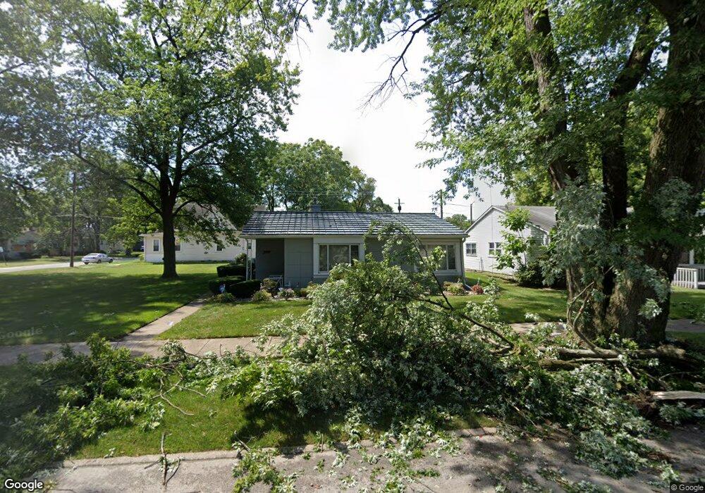
2025 170th St Hazel Crest, IL 60429
Hazel Crest Proper NeighborhoodEstimated Value: $110,026 - $258,000
2
Beds
1
Bath
1,011
Sq Ft
$166/Sq Ft
Est. Value
About This Home
This home is located at 2025 170th St, Hazel Crest, IL 60429 and is currently estimated at $168,257, approximately $166 per square foot. 2025 170th St is a home located in Cook County with nearby schools including Thornwood High School.
Ownership History
Date
Name
Owned For
Owner Type
Purchase Details
Closed on
Aug 9, 2002
Sold by
Taylor Leroy and Taylor Rose B
Bought by
Witherspoon Tameka S
Current Estimated Value
Home Financials for this Owner
Home Financials are based on the most recent Mortgage that was taken out on this home.
Original Mortgage
$54,051
Outstanding Balance
$22,341
Interest Rate
6.63%
Mortgage Type
FHA
Estimated Equity
$145,916
Purchase Details
Closed on
Oct 21, 1998
Sold by
Taylor Leroy
Bought by
Taylor Leroy and Taylor Rose B
Purchase Details
Closed on
Oct 22, 1993
Sold by
Berry John R and Berry Jean
Bought by
Taylor Leroy and Davidson Loeita
Create a Home Valuation Report for This Property
The Home Valuation Report is an in-depth analysis detailing your home's value as well as a comparison with similar homes in the area
Home Values in the Area
Average Home Value in this Area
Purchase History
We collect this data history from publicly available records. To have your information removed, we recommend requesting removal directly through your county’s website.
| Date | Buyer | Sale Price | Title Company |
|---|---|---|---|
| Witherspoon Tameka S | $55,000 | Chicago Title Insurance Co | |
| Taylor Leroy | -- | -- | |
| Taylor Leroy | -- | -- |
Source: Public Records
Mortgage History
We collect this data history from publicly available records. To have your information removed, we recommend requesting removal directly through your county’s website.
| Date | Status | Borrower | Loan Amount |
|---|---|---|---|
| Open | Witherspoon Tameka S | $54,051 |
Source: Public Records
Tax History
| Year | Tax Paid | Tax Assessment Tax Assessment Total Assessment is a certain percentage of the fair market value that is determined by local assessors to be the total taxable value of land and additions on the property. | Land | Improvement |
|---|---|---|---|---|
| 2025 | $1,527 | $5,700 | $1,929 | $3,771 |
| 2024 | $1,527 | $5,700 | $1,929 | $3,771 |
| 2023 | $1,000 | $5,700 | $1,929 | $3,771 |
| 2022 | $1,000 | $4,577 | $1,654 | $2,923 |
| 2021 | $1,047 | $4,575 | $1,653 | $2,922 |
| 2020 | $1,162 | $4,575 | $1,653 | $2,922 |
| 2019 | $1,127 | $4,870 | $1,515 | $3,355 |
| 2018 | $1,092 | $4,870 | $1,515 | $3,355 |
| 2017 | $1,100 | $4,870 | $1,515 | $3,355 |
| 2016 | $1,782 | $5,134 | $1,378 | $3,756 |
| 2015 | $1,646 | $5,134 | $1,378 | $3,756 |
| 2014 | $1,661 | $5,134 | $1,378 | $3,756 |
| 2013 | $1,888 | $5,826 | $1,378 | $4,448 |
Source: Public Records
Map
Nearby Homes
- 2030 170th St
- 17031 Trapet Ave
- 1913 170th St
- 16963 Winchester Ave
- 17065 Crane Ave
- 16927 Crane Ave
- 16808 Shea Ave
- 16876 Head Ave
- 2229 170th St
- 17092 Jodave Ave
- 17031 Anthony Ave
- 16784 Trapet Ave
- 16735 Dixie Hwy
- 16781 Head Ave
- 16729 Dixie Hwy
- 16841 Anthony Ave
- 16744 Trapet Ave
- 16919 Wood St
- 17212 Hawthorne Dr
- 16727 Head Ave
Your Personal Tour Guide
Ask me questions while you tour the home.