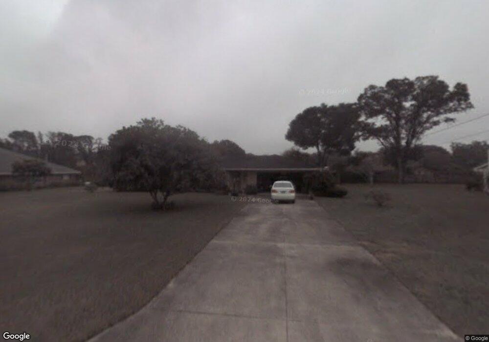
2025 Anchor Ave Deland, FL 32720
North DeLand NeighborhoodEstimated Value: $309,275 - $410,000
3
Beds
2
Baths
1,818
Sq Ft
$200/Sq Ft
Est. Value
About This Home
This home is located at 2025 Anchor Ave, Deland, FL 32720 and is currently estimated at $363,319, approximately $199 per square foot. 2025 Anchor Ave is a home located in Volusia County with nearby schools including Citrus Grove Elementary, Deland High School, and Southwestern Middle School.
Ownership History
Date
Name
Owned For
Owner Type
Purchase Details
Closed on
Oct 3, 2024
Sold by
Chaffin Jerone
Bought by
Chaffin Jerone and Chaffin Denise
Current Estimated Value
Purchase Details
Closed on
Jul 3, 2024
Sold by
Chaffin Jerone
Bought by
Chaffin Jerone and Wallace Kathy
Purchase Details
Closed on
Jan 8, 2024
Sold by
Chaffin Jerone and Chaffin Joyce
Bought by
Chaffin Jerone Lee and Wallace Kathy Jo
Purchase Details
Closed on
Jul 19, 2010
Sold by
Chaffin Jerone L
Bought by
Chaffin Jerone and Chaffin Joyce
Purchase Details
Closed on
May 29, 1998
Sold by
Jelich John W and Jelich Ruth S
Bought by
Chaffin Jerome L and Chaffin Sandy A
Purchase Details
Closed on
Oct 15, 1976
Bought by
Chaffin Jerone and Chaffin Joyce
Create a Home Valuation Report for This Property
The Home Valuation Report is an in-depth analysis detailing your home's value as well as a comparison with similar homes in the area
Home Values in the Area
Average Home Value in this Area
Purchase History
| Date | Buyer | Sale Price | Title Company |
|---|---|---|---|
| Chaffin Jerone | -- | None Listed On Document | |
| Chaffin Jerone | -- | None Listed On Document | |
| Chaffin Jerone Lee | $100 | None Listed On Document | |
| Chaffin Jerone Lee | $100 | None Listed On Document | |
| Chaffin Jerone | -- | None Available | |
| Chaffin Jerome L | $91,000 | -- | |
| Chaffin Jerone | $48,500 | -- |
Source: Public Records
Tax History Compared to Growth
Tax History
| Year | Tax Paid | Tax Assessment Tax Assessment Total Assessment is a certain percentage of the fair market value that is determined by local assessors to be the total taxable value of land and additions on the property. | Land | Improvement |
|---|---|---|---|---|
| 2025 | $1,754 | $190,627 | -- | -- |
| 2024 | $1,754 | $193,579 | -- | -- |
| 2023 | $1,754 | $117,534 | $0 | $0 |
| 2022 | $1,685 | $114,111 | $0 | $0 |
| 2021 | $1,716 | $110,787 | $0 | $0 |
| 2020 | $1,685 | $109,257 | $0 | $0 |
| 2019 | $1,719 | $106,801 | $0 | $0 |
| 2018 | $1,694 | $104,810 | $0 | $0 |
| 2017 | $1,675 | $102,654 | $0 | $0 |
| 2016 | $1,596 | $100,543 | $0 | $0 |
| 2015 | $1,619 | $99,844 | $0 | $0 |
| 2014 | $1,596 | $99,052 | $0 | $0 |
Source: Public Records
Map
Nearby Homes
- 1555 Mercers Fernery Rd
- 2172 N Spring Garden Ave
- 1130 Glenwood Trail
- 1110 Mercers Fernery Rd
- 1149 Glenwood Trail
- 975 Rolling Acres Dr
- 753 Glenwood Rd
- 1937 N Spring Garden Ave
- 0 Oak Valley Dr
- 2285 Wilmhurst Rd
- 903 Honey Petal Ln
- 887 Asterfield Ln
- 2541 Parkway Dr
- 897 Honey Petal Ln
- 1460 Glenwood Rd
- 2680 Concord Rd
- 882 Asterfield Ln
- 1105 Burgoyne Rd
- 1540 Ashley Oaks Dr
- 1285 Bramley Ln
- 2031 Anchor Ave Unit 2
- 1255 Rolling Acres Dr
- 1948 Sunset Ct
- 2020 Anchor Ave
- 1235 Rolling Acres Dr
- 1950 Sunset Ct
- 2040 Anchor Ave
- 2000 Anchor Ave
- 2041 Anchor Ave
- 1260 Rolling Acres Dr
- 1240 Rolling Acres Dr
- 1945 Sunset Ct
- 1900 Anchor Ave
- 2042 Anchor Ave
- 1215 Rolling Acres Dr
- 1955 Sunset Ct
- 1220 Rolling Acres Dr
- 1855 Anchor Ave
- 1890 Anchor Ave
- 2045 Anchor Ave