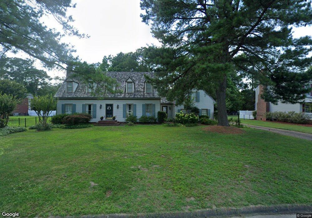
2025 Armada Dr Chesapeake, VA 23321
Western Branch NeighborhoodEstimated Value: $535,000 - $555,000
4
Beds
4
Baths
2,668
Sq Ft
$204/Sq Ft
Est. Value
About This Home
This home is located at 2025 Armada Dr, Chesapeake, VA 23321 and is currently estimated at $545,366, approximately $204 per square foot. 2025 Armada Dr is a home located in Chesapeake City with nearby schools including Edwin W. Chittum Elementary School, Jolliff Middle School, and Western Branch High School.
Ownership History
Date
Name
Owned For
Owner Type
Purchase Details
Closed on
Mar 2, 2020
Sold by
Mclauchlin Brenda J
Bought by
Green Anthony R and Green Sara E
Current Estimated Value
Home Financials for this Owner
Home Financials are based on the most recent Mortgage that was taken out on this home.
Original Mortgage
$361,950
Outstanding Balance
$321,163
Interest Rate
3.6%
Mortgage Type
New Conventional
Estimated Equity
$224,203
Create a Home Valuation Report for This Property
The Home Valuation Report is an in-depth analysis detailing your home's value as well as a comparison with similar homes in the area
Home Values in the Area
Average Home Value in this Area
Purchase History
| Date | Buyer | Sale Price | Title Company |
|---|---|---|---|
| Green Anthony R | $381,000 | Attorney |
Source: Public Records
Mortgage History
| Date | Status | Borrower | Loan Amount |
|---|---|---|---|
| Open | Green Anthony R | $361,950 |
Source: Public Records
Tax History Compared to Growth
Tax History
| Year | Tax Paid | Tax Assessment Tax Assessment Total Assessment is a certain percentage of the fair market value that is determined by local assessors to be the total taxable value of land and additions on the property. | Land | Improvement |
|---|---|---|---|---|
| 2025 | $5,113 | $500,800 | $165,000 | $335,800 |
| 2024 | $5,113 | $506,200 | $160,000 | $346,200 |
| 2023 | $4,442 | $493,800 | $140,000 | $353,800 |
| 2022 | $4,366 | $432,300 | $120,000 | $312,300 |
| 2021 | $4,048 | $385,500 | $90,000 | $295,500 |
| 2020 | $3,993 | $380,300 | $90,000 | $290,300 |
| 2019 | $3,673 | $349,800 | $90,000 | $259,800 |
| 2018 | $3,594 | $306,900 | $95,000 | $211,900 |
| 2017 | $3,222 | $306,900 | $95,000 | $211,900 |
| 2016 | $3,011 | $286,800 | $85,000 | $201,800 |
| 2015 | $2,959 | $281,800 | $80,000 | $201,800 |
| 2014 | $2,959 | $281,800 | $80,000 | $201,800 |
Source: Public Records
Map
Nearby Homes
- 4232 Valencia Rd
- 2021 Christopher Dr
- 2071 River Pearl Way
- 2200 Christopher Dr
- 2133 Portsmouth Blvd
- 2019 River Pearl Way
- 2119 Seastone Trace
- 4601 Peek Trail
- 4200 Sorrento Dr
- 2017 Lisbon Rd
- 4309 Hillingdon Bend Unit 303
- MM Sorrento Rd
- 4316 Hillingdon Bend Unit 302
- 4316 Hillingdon Bend Unit 303
- 4125 Nina Dr
- 4332 Hillingdon Bend Unit 306
- .29ac Coffman Blvd
- 2024 Finchley Dr Unit 385
- 2613 Leytonstone Dr Unit 377
- 4316 Colindale Rd Unit 301
- 2027 Armada Ct
- 2021 Armada Dr
- 2031 Armada Ct
- 2024 Armada Dr
- 2017 Armada Dr
- 2097 Armada Dr
- 2020 Armada Dr
- 2028 Armada Ct
- 4657 Leeward Dr
- 4653 Leeward Dr
- 2033 Armada Ct
- 2013 Armada Dr
- 4701 Leeward Ct
- 2032 Armada Ct
- 2030 Armada Ct
- 2152 Isabella Dr
- 4658 Leeward Dr
- 2016 Armada Dr
- 4700 Leeward Ct
- 2156 Isabella Dr