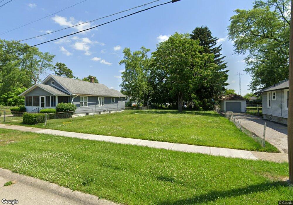
2025 Burr Blvd Flint, MI 48503
South Parks NeighborhoodEstimated Value: $46,000
2
Beds
1
Bath
768
Sq Ft
$60/Sq Ft
Est. Value
About This Home
This home is located at 2025 Burr Blvd, Flint, MI 48503 and is currently priced at $46,000, approximately $59 per square foot. 2025 Burr Blvd is a home located in Genesee County with nearby schools including Freeman Elementary School, Flint Southwestern Classical Academy, and International Academy of Flint (K-12).
Ownership History
Date
Name
Owned For
Owner Type
Purchase Details
Closed on
Nov 23, 2021
Sold by
Spear Dorothy E
Bought by
Spear Dorothy E
Current Estimated Value
Purchase Details
Closed on
Sep 2, 2021
Sold by
Genesee County Land Bank Authority
Bought by
Spear Dorothy E
Purchase Details
Closed on
Dec 19, 2019
Sold by
Genesee County Treasurer
Bought by
Genesee County Land Bank Authority
Purchase Details
Closed on
Sep 19, 2002
Sold by
Lewis James Luella and Lewis James Jr
Bought by
James Luella and Miller Gilbert
Create a Home Valuation Report for This Property
The Home Valuation Report is an in-depth analysis detailing your home's value as well as a comparison with similar homes in the area
Home Values in the Area
Average Home Value in this Area
Purchase History
| Date | Buyer | Sale Price | Title Company |
|---|---|---|---|
| Spear Dorothy E | -- | Land Title | |
| Spear Dorothy E | -- | None Listed On Document | |
| Genesee County Land Bank Authority | -- | None Available | |
| James Luella | -- | First American Title Ins Co |
Source: Public Records
Tax History
| Year | Tax Paid | Tax Assessment Tax Assessment Total Assessment is a certain percentage of the fair market value that is determined by local assessors to be the total taxable value of land and additions on the property. | Land | Improvement |
|---|---|---|---|---|
| 2020 | $268 | $0 | $0 | $0 |
| 2019 | $498 | $6,600 | $0 | $0 |
| 2018 | $2,320 | $6,100 | $0 | $0 |
| 2017 | $23 | $0 | $0 | $0 |
| 2016 | $0 | $0 | $0 | $0 |
| 2015 | -- | $0 | $0 | $0 |
| 2014 | -- | $0 | $0 | $0 |
| 2012 | -- | $6,200 | $0 | $0 |
Source: Public Records
Map
Nearby Homes
- 2033 Seymour Ave
- 1851 Seymour Ave
- 1110 Pingree Ave
- 2010 Crocker Ave
- 2221 Howard Ave
- 1840 Mcphail St
- 1930 Owen St
- 9211 Owen St
- 1814 Mcphail St
- 2224 Crocker Ave
- 2050 Ferris Ave
- 420 Pingree Ave
- 1510 S Franklin Ave
- 1720 Park St
- 2910 Shawnee Ave
- 149 E Tobias St
- 149 E Linsey Blvd
- 3115 Circle Dr
- 133 E Oakley St
- 1925 Gilmartin St