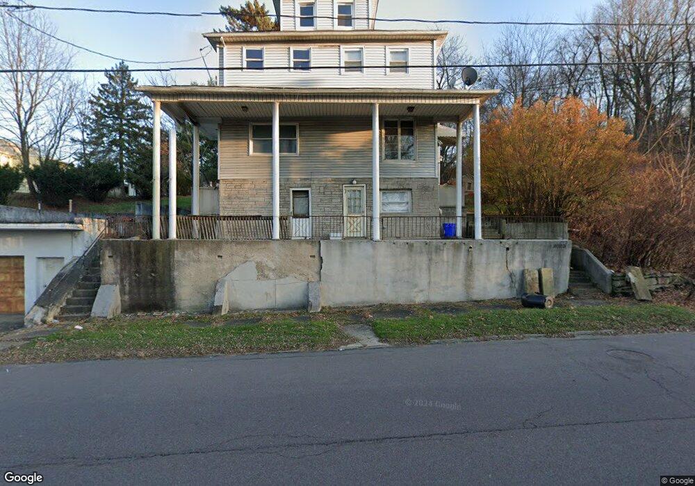
2025 Cedar Ave Scranton, PA 18505
South Side NeighborhoodEstimated Value: $106,000 - $229,000
3
Beds
2
Baths
1,447
Sq Ft
$111/Sq Ft
Est. Value
About This Home
This home is located at 2025 Cedar Ave, Scranton, PA 18505 and is currently estimated at $160,313, approximately $110 per square foot. 2025 Cedar Ave is a home located in Lackawanna County with nearby schools including John F. Kennedy Elementary School, South Scranton Intermediate, and West Scranton High School.
Ownership History
Date
Name
Owned For
Owner Type
Purchase Details
Closed on
Jun 10, 2019
Sold by
Rossi Joseph A and Rossi Debbie
Bought by
Mcintyre Jennifer
Current Estimated Value
Purchase Details
Closed on
Dec 1, 2006
Sold by
Luciani Richard J
Bought by
Rossi Joseph M and Rossi Mildred
Home Financials for this Owner
Home Financials are based on the most recent Mortgage that was taken out on this home.
Original Mortgage
$45,000
Interest Rate
6.07%
Mortgage Type
Purchase Money Mortgage
Create a Home Valuation Report for This Property
The Home Valuation Report is an in-depth analysis detailing your home's value as well as a comparison with similar homes in the area
Home Values in the Area
Average Home Value in this Area
Purchase History
| Date | Buyer | Sale Price | Title Company |
|---|---|---|---|
| Mcintyre Jennifer | $8,959,800 | None Available | |
| Rossi Joseph M | $45,000 | None Available |
Source: Public Records
Mortgage History
| Date | Status | Borrower | Loan Amount |
|---|---|---|---|
| Previous Owner | Rossi Joseph M | $45,000 |
Source: Public Records
Tax History
| Year | Tax Paid | Tax Assessment Tax Assessment Total Assessment is a certain percentage of the fair market value that is determined by local assessors to be the total taxable value of land and additions on the property. | Land | Improvement |
|---|---|---|---|---|
| 2025 | $2,433 | $7,700 | $1,000 | $6,700 |
| 2024 | $2,220 | $7,700 | $1,000 | $6,700 |
| 2023 | $2,220 | $7,700 | $1,000 | $6,700 |
| 2022 | $2,171 | $7,700 | $1,000 | $6,700 |
| 2021 | $2,171 | $7,700 | $1,000 | $6,700 |
| 2020 | $2,130 | $7,700 | $1,000 | $6,700 |
| 2019 | $2,003 | $7,700 | $1,000 | $6,700 |
| 2018 | $2,003 | $7,700 | $1,000 | $6,700 |
| 2017 | $1,966 | $7,700 | $1,000 | $6,700 |
| 2016 | $571 | $7,700 | $1,000 | $6,700 |
| 2015 | $1,468 | $7,700 | $1,000 | $6,700 |
| 2014 | -- | $7,700 | $1,000 | $6,700 |
Source: Public Records
Map
Nearby Homes
- 2129 Pittston Ave
- 1830 Pittston Ave Unit REAR
- 1827 Prospect Ave
- 1826 S Webster Ave
- 1614 Prospect Ave
- 1508 Cedar Ave
- 309 Lowery St
- 511 Fig St
- 1429 Prospect Ave
- 626 Fig St
- 0 Saginaw
- 1131 Pittston Ave
- 1250 S 1252 6th
- 613 E Locust St
- 16 Cherry St
- 1017 Hamm Ct
- 2928 Birney Ave
- 635 E Elm St Unit Rear
- 625 Landis St
- 1143 Reynolds Ave
- 2023 Cedar Ave
- 2019 Cedar Ave
- 918 Rear Pittston Ave
- 2017 Cedar Ave
- 2015 Cedar Ave
- 2021 Cedar Ave
- 2044 Cedar Ave
- 428 Ripple St
- 428 Ripple St
- 2042 Cedar Ave
- 2048 Cedar Ave
- 2106 Cedar Ave
- 2106 Cedar Ave Unit 2
- 2106 Cedar Ave Unit 1
- 2009 Cedar Ave
- 429 Gibbons St
- 2001 Rosen Ct
- 2100 Cedar Ave
- 2001 Cedar Ave Unit 2
- 2001 Cedar Ave
Your Personal Tour Guide
Ask me questions while you tour the home.