2025 Corpening Dr Morganton, NC 28655
Estimated Value: $238,000 - $648,000
3
Beds
2
Baths
1,896
Sq Ft
$206/Sq Ft
Est. Value
About This Home
This home is located at 2025 Corpening Dr, Morganton, NC 28655 and is currently estimated at $389,787, approximately $205 per square foot. 2025 Corpening Dr is a home with nearby schools including Oak Hill Elementary School, Table Rock Middle School, and Freedom High School.
Ownership History
Date
Name
Owned For
Owner Type
Purchase Details
Closed on
Aug 1, 2014
Sold by
Dula Jerlene and Dula Richard S
Bought by
Dula Derrick and Dula Denise
Current Estimated Value
Purchase Details
Closed on
May 24, 2005
Sold by
Walter Mortgage Company
Bought by
Dula Richard S and Dula Jerelene
Home Financials for this Owner
Home Financials are based on the most recent Mortgage that was taken out on this home.
Original Mortgage
$8,900
Interest Rate
5.66%
Mortgage Type
Stand Alone Second
Create a Home Valuation Report for This Property
The Home Valuation Report is an in-depth analysis detailing your home's value as well as a comparison with similar homes in the area
Home Values in the Area
Average Home Value in this Area
Purchase History
| Date | Buyer | Sale Price | Title Company |
|---|---|---|---|
| Dula Derrick | -- | None Available | |
| Dula Richard S | $85,000 | None Available |
Source: Public Records
Mortgage History
| Date | Status | Borrower | Loan Amount |
|---|---|---|---|
| Closed | Dula Richard S | $8,900 |
Source: Public Records
Tax History Compared to Growth
Tax History
| Year | Tax Paid | Tax Assessment Tax Assessment Total Assessment is a certain percentage of the fair market value that is determined by local assessors to be the total taxable value of land and additions on the property. | Land | Improvement |
|---|---|---|---|---|
| 2025 | $1,249 | $182,188 | $13,718 | $168,470 |
| 2024 | $1,254 | $182,188 | $13,718 | $168,470 |
| 2023 | $1,254 | $182,188 | $13,718 | $168,470 |
| 2022 | $1,133 | $135,600 | $13,718 | $121,882 |
| 2021 | $1,127 | $135,600 | $13,718 | $121,882 |
| 2020 | $1,123 | $135,600 | $13,718 | $121,882 |
| 2019 | $1,131 | $136,699 | $13,718 | $122,981 |
| 2018 | $1,115 | $134,525 | $13,360 | $121,165 |
| 2017 | $1,113 | $134,525 | $13,360 | $121,165 |
| 2016 | $1,087 | $134,525 | $13,360 | $121,165 |
| 2015 | $1,084 | $134,525 | $13,360 | $121,165 |
| 2014 | $1,083 | $134,525 | $13,360 | $121,165 |
| 2013 | $1,083 | $134,525 | $13,360 | $121,165 |
Source: Public Records
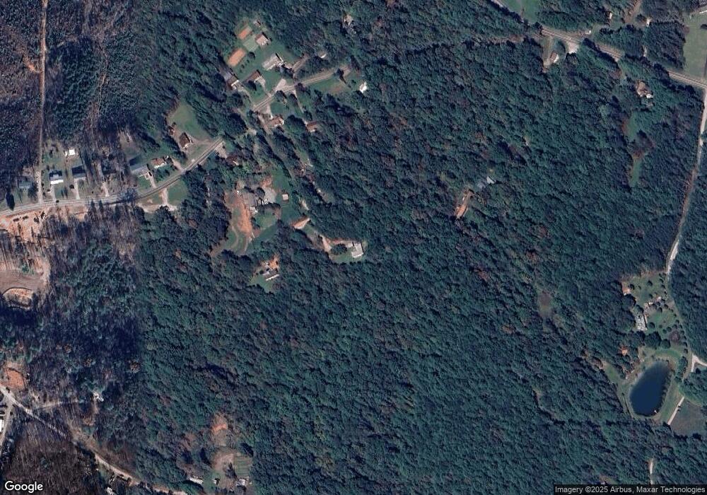
Map
Nearby Homes
- 3375 Nc 126
- 2556 Nc 126
- 1060 Hawksbill Dr
- 130 Hawksbill Dr Unit 47
- 0 Boyd Moore Ave Unit CAR3848175
- 4625 Boyd Moore Ave
- 4617 Harbor View Terrace
- 1504 Brentwood Place
- 3100 E Moonlight Place Unit 42
- 1513 Brentwood Place
- 3666 Grandview Dr
- 3680 Grandview Dr
- 2108 E Bluewater Dr
- 2148 E Bluewater Dr
- 2033 Starlight Ln Unit 111
- 2018 Starlight Ln
- 1600 Lillians Point Ct Unit 33
- 1441 Pheasant Run Ct
- 1441 Southpointe Dr Unit 249
- 3107 Channel View Cove