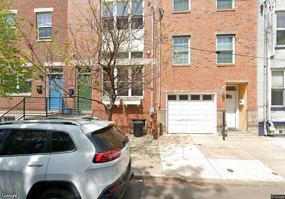
2025 Federal St Philadelphia, PA 19146
Point Breeze NeighborhoodEstimated Value: $506,000 - $879,000
3
Beds
2
Baths
2,016
Sq Ft
$322/Sq Ft
Est. Value
About This Home
This home is located at 2025 Federal St, Philadelphia, PA 19146 and is currently estimated at $648,755, approximately $321 per square foot. 2025 Federal St is a home with nearby schools including Edwin M. Stanton School, South Philadelphia High School, and Christopher Columbus CS.
Ownership History
Date
Name
Owned For
Owner Type
Purchase Details
Closed on
Mar 18, 2016
Sold by
Goldstein Michael B
Bought by
Davies Ryan
Current Estimated Value
Home Financials for this Owner
Home Financials are based on the most recent Mortgage that was taken out on this home.
Original Mortgage
$414,193
Outstanding Balance
$328,593
Interest Rate
3.72%
Mortgage Type
New Conventional
Estimated Equity
$320,162
Purchase Details
Closed on
Apr 8, 2015
Sold by
Philadelphia Redevelopment Authority
Bought by
Goldstein Michael B
Purchase Details
Closed on
Sep 25, 2012
Sold by
Ajk Investments Lp
Bought by
Philadelphia Redevelopment Authroity
Purchase Details
Closed on
Jan 23, 2008
Sold by
Redevelopment Authority Of The City Of P
Bought by
Ajk Investment Lp
Create a Home Valuation Report for This Property
The Home Valuation Report is an in-depth analysis detailing your home's value as well as a comparison with similar homes in the area
Home Values in the Area
Average Home Value in this Area
Purchase History
| Date | Buyer | Sale Price | Title Company |
|---|---|---|---|
| Davies Ryan | $427,003 | Chicago Title Ins Co | |
| Goldstein Michael B | $76,500 | Attorney | |
| Philadelphia Redevelopment Authroity | -- | None Available | |
| Ajk Investment Lp | $55,000 | None Available |
Source: Public Records
Mortgage History
| Date | Status | Borrower | Loan Amount |
|---|---|---|---|
| Open | Davies Ryan | $414,193 |
Source: Public Records
Tax History Compared to Growth
Tax History
| Year | Tax Paid | Tax Assessment Tax Assessment Total Assessment is a certain percentage of the fair market value that is determined by local assessors to be the total taxable value of land and additions on the property. | Land | Improvement |
|---|---|---|---|---|
| 2025 | $1,795 | $620,800 | $124,160 | $496,640 |
| 2024 | $1,795 | $620,800 | $124,160 | $496,640 |
| 2023 | $1,795 | $641,000 | $128,200 | $512,800 |
| 2022 | $1,644 | $128,200 | $128,200 | $0 |
| 2021 | $1,644 | $0 | $0 | $0 |
| 2020 | $1,644 | $0 | $0 | $0 |
| 2019 | $1,528 | $0 | $0 | $0 |
| 2018 | $1,481 | $0 | $0 | $0 |
| 2017 | $1,481 | $0 | $0 | $0 |
| 2016 | $203 | $0 | $0 | $0 |
| 2015 | -- | $0 | $0 | $0 |
| 2014 | -- | $14,500 | $14,500 | $0 |
| 2012 | -- | $3,200 | $3,200 | $0 |
Source: Public Records
Map
Nearby Homes
- 2002 Annin St Unit 2
- 2707 11 Federal St
- 2303-2305 Federal St
- 2026 Ellsworth St
- 1938 Federal St
- 1123 S 20th St
- 1121 S 20th St
- 2025 Ellsworth St
- 2019 Manton St
- 2016 Manton St
- 2050 Ellsworth St
- 2034 Manton St
- 1904 Federal St
- 2040 Manton St
- 1919 Latona St
- 2008 Latona St
- 1226 S 21st St
- 2002 Titan St
- 1144 S Cleveland St
- 1239 S 19th St