2025 Highway 191 Danielsville, GA 30633
Estimated Value: $320,000 - $3,051,877
--
Bed
1
Bath
6,764
Sq Ft
$249/Sq Ft
Est. Value
About This Home
This home is located at 2025 Highway 191, Danielsville, GA 30633 and is currently estimated at $1,685,939, approximately $249 per square foot. 2025 Highway 191 is a home with nearby schools including Madison County High School.
Ownership History
Date
Name
Owned For
Owner Type
Purchase Details
Closed on
Jul 11, 2011
Sold by
Armwood Dale and Ervin J Burke Sr Living Trust
Bought by
Dressel Kathleen A and Petzel Todd E
Current Estimated Value
Purchase Details
Closed on
Jun 24, 2011
Sold by
Burke Michael W
Bought by
Armwood Dale and Ervin J Burke Sr Living Trust
Purchase Details
Closed on
May 23, 2011
Sold by
Burke Ervin J
Bought by
Armwood Dale and Ervin J Burke Sr Living Trust
Purchase Details
Closed on
Feb 13, 2002
Sold by
Jordan Julia Kay
Bought by
Burke Ervin J
Purchase Details
Closed on
Dec 1, 2000
Sold by
Collins Roy A
Bought by
Burke Michael W
Purchase Details
Closed on
Apr 10, 1998
Sold by
Jordan Larry E
Bought by
Jordan Julia Kay
Purchase Details
Closed on
Jan 1, 1992
Bought by
Collins Roy A
Purchase Details
Closed on
Jan 1, 1981
Bought by
Jordan Larry E and Jordan Jul
Purchase Details
Closed on
Jan 1, 1975
Bought by
Burke Ervin J and Burke Eliz
Create a Home Valuation Report for This Property
The Home Valuation Report is an in-depth analysis detailing your home's value as well as a comparison with similar homes in the area
Home Values in the Area
Average Home Value in this Area
Purchase History
| Date | Buyer | Sale Price | Title Company |
|---|---|---|---|
| Dressel Kathleen A | -- | -- | |
| Dressel Kathleen A | $196,000 | -- | |
| Armwood Dale | -- | -- | |
| Armwood Dale | -- | -- | |
| Burke Ervin J | $75,000 | -- | |
| Burke Michael W | $65,000 | -- | |
| Jordan Julia Kay | -- | -- | |
| Collins Roy A | -- | -- | |
| Jordan Larry E | -- | -- | |
| Burke Ervin J | -- | -- |
Source: Public Records
Tax History Compared to Growth
Tax History
| Year | Tax Paid | Tax Assessment Tax Assessment Total Assessment is a certain percentage of the fair market value that is determined by local assessors to be the total taxable value of land and additions on the property. | Land | Improvement |
|---|---|---|---|---|
| 2024 | $17,163 | $814,289 | $195,910 | $618,379 |
| 2023 | $16,000 | $788,634 | $195,910 | $592,724 |
| 2022 | $16,140 | $697,883 | $150,552 | $547,331 |
| 2021 | $14,876 | $568,240 | $116,486 | $451,754 |
| 2020 | $14,644 | $558,010 | $106,256 | $451,754 |
| 2019 | $13,962 | $531,574 | $106,256 | $425,318 |
| 2018 | $12,731 | $492,301 | $106,256 | $386,045 |
| 2017 | $14,341 | $498,042 | $105,191 | $392,851 |
| 2016 | $8,045 | $354,233 | $105,191 | $249,042 |
| 2015 | $8,024 | $354,233 | $105,191 | $249,042 |
| 2014 | $8,752 | $304,886 | $92,886 | $212,000 |
| 2013 | -- | $113,938 | $92,886 | $21,052 |
Source: Public Records
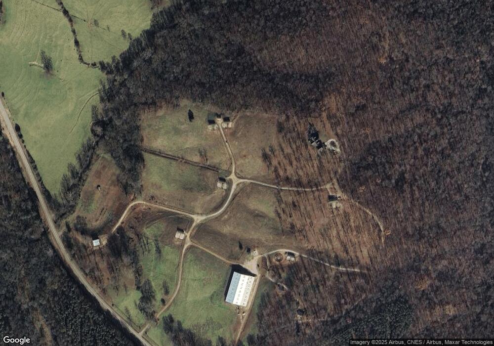
Map
Nearby Homes
- 0 Georgia 191
- 795 E Jones Chapel Rd
- 0 Hwy 29 N Unit 10574548
- 0 Hwy 29 N Unit CL335575
- 0 Hwy 191 Unit CL339505
- 0 Cedar Ln Unit 1026097
- 0 Cedar Ln Unit 10530523
- 1885 Highway 29 N
- 107 Hill Lake Rd
- 450 Stagecoach Way
- 0 Irvin Kirk Rd
- 0 Carey Ford Rd Unit 10495957
- 255 Hillwood Dr Unit 1
- 417 Cheek Pulliam Rd
- 430 Sherwood Cir
- 0 Carey-Ford Rd
- 28 Acres Irvin Kirk Rd
- 0 New Haven Church Rd Unit CL334534
- 0 New Haven Church Rd Unit 10566118
- 0 New Haven Church Rd Unit CL334526
- 1869 Highway 191
- 2025 Georgia 191
- 00 Georgia 191
- 1777 Georgia 191
- 9568 Wildcat Bridge Rd
- 9658 Wildcat Bridge Rd
- 9658 Wildcat Bridge Rd
- 9658 Wildcat Bridge Rd
- 9628 Wildcat Bridge Rd
- 1469 Highway 191
- 1612 Highway 191
- 9725 Wildcat Bridge Rd
- 644 Hickory Hills Rd
- 88 Acres Georgia 281
- +/- 55 A Wildcat Bridge Rd
- 810 Hickory Hills Rd
- 734 Hickory Hills Rd
- 127 Dalton Dr
- 9444 Wildcat Bridge Rd
- 1512 Highway 191